

|
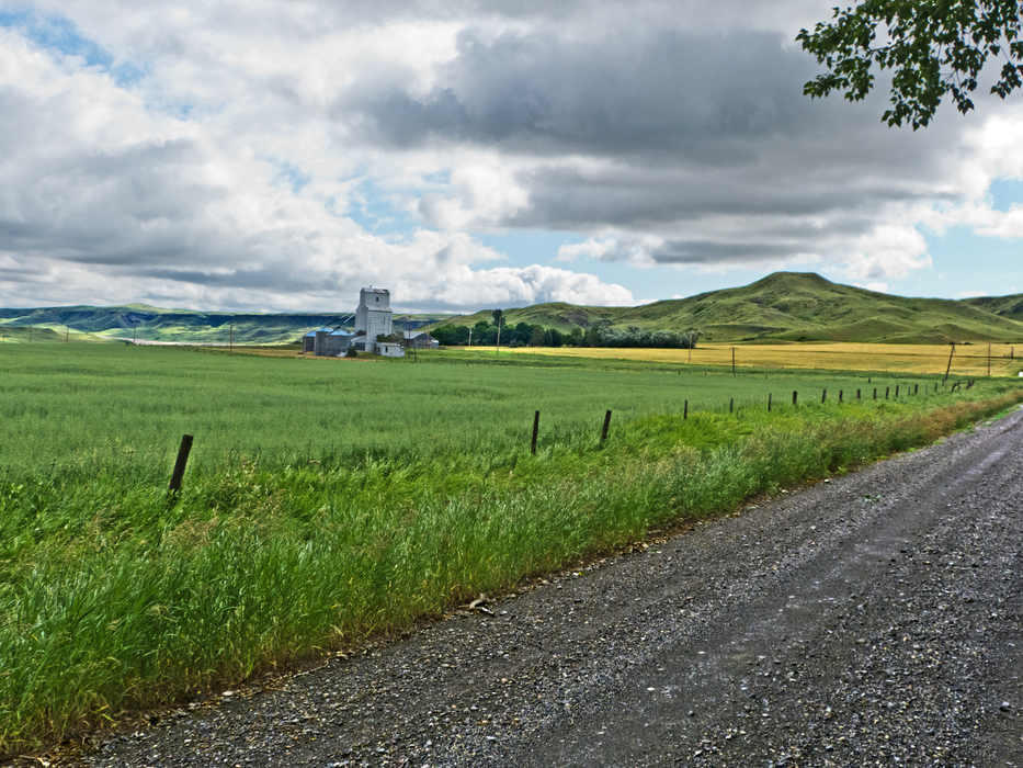
The town of Shonkin. We are just past the Shonkin Creek Bridge. This is looking to the NE.
http://home.onemain.com/~miscmail/fld_trip/sh_sag2.htm The Shonkin Creek Valley between this point and the town of Fort Benton was probably the main overflow channel when the lake was at a lower level and the ice dam lay further north. That the gradients are much less here than at the town of Highwood suggests that this was really the main channel for the Missouri during the thousands of years it took to excavate the Shonkin Sag.
http://home.onemain.com/~miscmail/fld_trip/sh_sag2.htm The Shonkin Creek Valley between this point and the town of Fort Benton was probably the main overflow channel when the lake was at a lower level and the ice dam lay further north. That the gradients are much less here than at the town of Highwood suggests that this was really the main channel for the Missouri during the thousands of years it took to excavate the Shonkin Sag.