

|
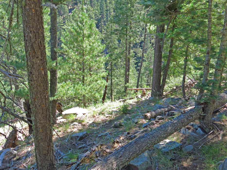
See Tag Note.. I built a Rock Carin (at 34.475285 -111.171087) to identify the Start of the Elk/Deer "Use Route Down" to enter/exit Barbershop Creek Drainage. Note: This Rock Carin is not obvious to visually pick out when just hiking to Cliffs Edge Areas from my Pic #4 (one needs to know how to navigate to the Rock Carin Gps Coordinates provided above)