 Route Editor

| Guide | ♦ | 1 Triplog | 0 Topics |
details | drive | permit | forecast | route |
stats |
photos | triplog | topics | location |
| 10 | 1 | 0 |
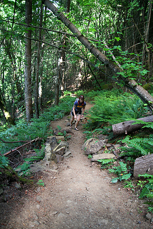
This trail begins at Starvation Creek State Park (I-84) and ends at Mitchell Point Trail #417. Leaving from the Starvation Creek Trailhead (120’), head west along US Hwy I-84 on Mount Defiance Trail #413, which is an asphalt trail that quickly becomes gravel. After 0.25 mile the trail reaches the beginning of Starvation Ridge Trail #414. Turn left (south) onto #414 and begin the series of switchbacks that climb 0.7 mile to Starvation Ridge (1,160’). The trail continues climbing south following Starvation Ridge for a further 1.8 miles to the trails end at the junction with Mitchell Point Trail #417 (3,250’).
Check out the Official Route and Triplog. Note This is a difficult hike. Arrive fit and prepared or this could get ugly. Leave No Trace and +Add a Triplog after your hike to support this local community. One-Way Notice This hike is listed as One-Way. When hiking several trails on a single "hike", log it with a generic name that describes the hike. Then link the trails traveled, check out the example. | |||||||||||||||||||||||||||||||||||||||||||||||||||||||||||||||||||||||||


