 Route Editor

| Guide | ♦ | 36 Triplogs | 0 Topics |
details | drive | permit | forecast | route |
stats |
photos | triplogs | topics | location |
| 304 | 36 | 0 |
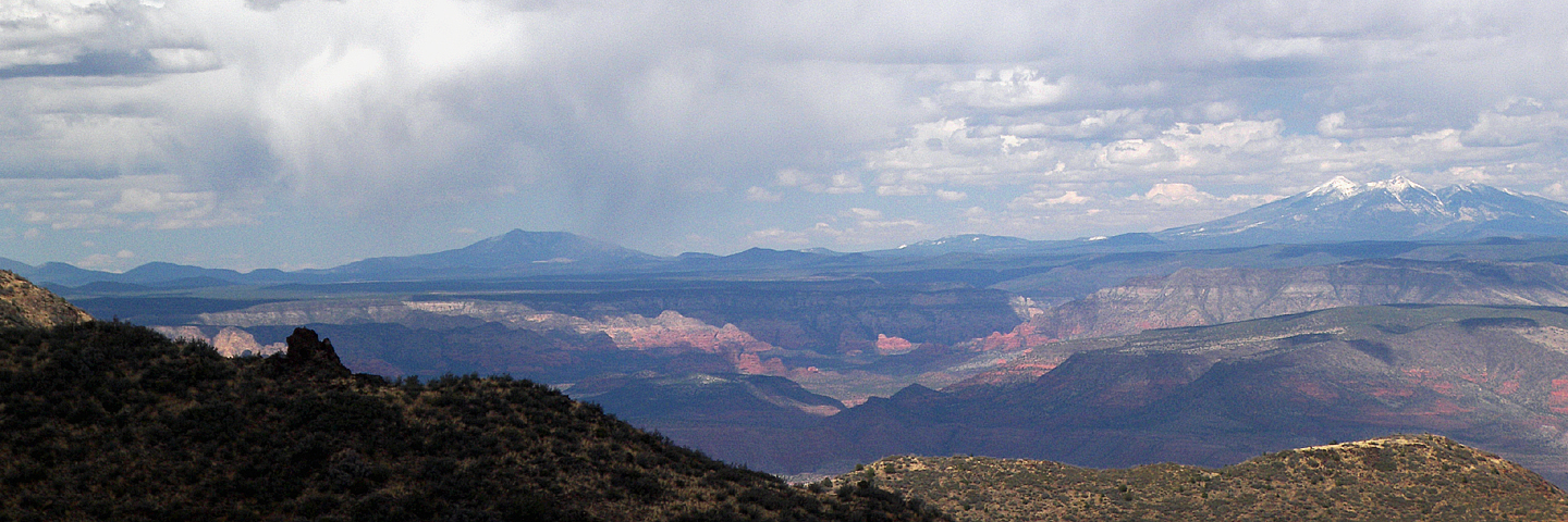
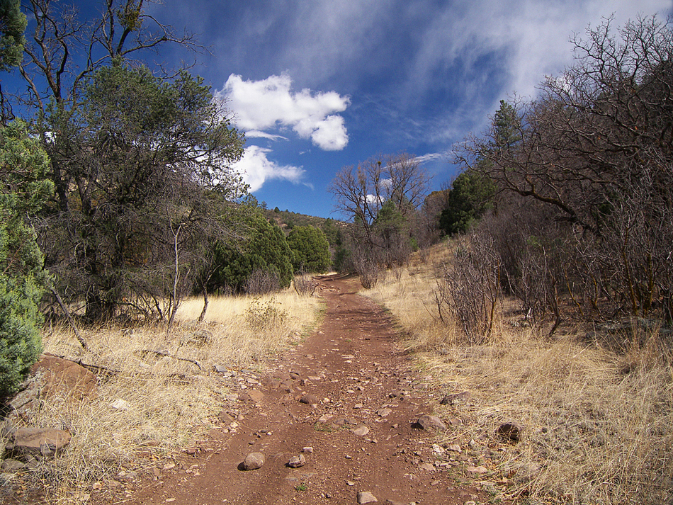
Mountain meadows by PrestonSands  The Woodchute-Martin Canyon Loop follows the Woodchute #102, Rick Tank Cutoff #104, and Martin Canyon #103 trails. This loop around upper Martin Canyon travels through some beautiful, quiet, mountain country on the south side of Woodchute Mountain. There may be water available at Woodchute and Turkey Tanks (definitely purify it!). Access to the Woodchute Trailhead itself requires a high clearance vehicle. However, those with cars can park at the large parking area along forest road 106, where the pavement ends, and hike the last 0.7 miles to the Woodchute Trailhead (add 1.4 miles to the length of this hike if you do that). The Woodchute-Martin Canyon Loop follows the Woodchute #102, Rick Tank Cutoff #104, and Martin Canyon #103 trails. This loop around upper Martin Canyon travels through some beautiful, quiet, mountain country on the south side of Woodchute Mountain. There may be water available at Woodchute and Turkey Tanks (definitely purify it!). Access to the Woodchute Trailhead itself requires a high clearance vehicle. However, those with cars can park at the large parking area along forest road 106, where the pavement ends, and hike the last 0.7 miles to the Woodchute Trailhead (add 1.4 miles to the length of this hike if you do that).From the Woodchute Trailhead, begin hiking up the Woodchute Trail #102, as it gently climbs through the forest. At 0.4 miles, the trail passes a gnarled juniper overlooking highway 89A, which snakes through the Black Hills below. The trail soon arrives on a ridge that forms the connection between Mingus Mountain and Woodchute Mountain, where outstanding views on either side await hikers. The trail rolls along the ridgeline towards Woodchute Mountain until mile 1.75, where it enters a little valley at the head of Mescal Gulch. The Woodchute Trail crosses over to the north side of Mescal Gulch, a short distance above a 40 foot high, seasonal waterfall. A quarter-mile hike up the valley brings you to the junction (34.73894 N, 112.16734 W) with the Rick Tank Cutoff Trail #104 at mile 2, in a nice stand of ponderosa pines.
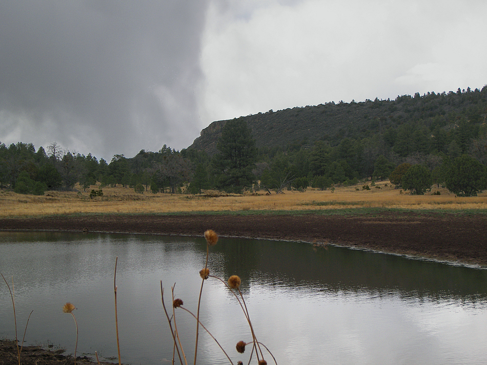
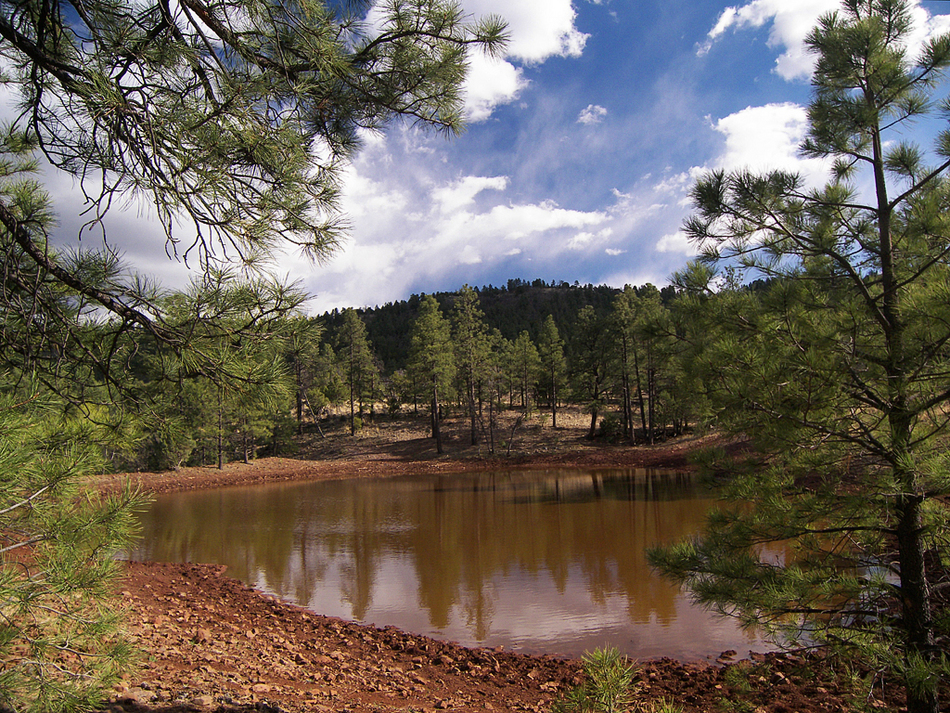
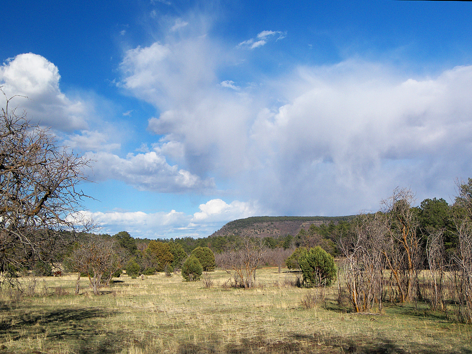
Turn southeast onto the Martin Canyon Trail, and follow this rough 4x4 road up the pleasant, forested bottom of Martin Canyon. The Martin Canyon Trail makes numerous crossings of the seasonal creek and passes some nice campsites. Vegetation along this stretch of trail includes plentiful Arizona wild roses, maidenhair ferns, locust, and large ponderosa pines, all of which are mixed in with a canopy of large Gambel Oaks that line the creek. After 1.4 miles in the bottom of Martin Canyon, the trail passes by Martin Canyon Tank (which was bone dry on my hike). Now the trail curves to the west, leaves the confines of the canyon, and arrives at a large cattle pond named Turkey Tank. The trail continues west for a short distance to a road junction in a saddle overlooking Lonesome Valley, where the Martin Canyon Trail #103 officially ends and becomes road #9710 (an unmarked 4x4 road). Take the left fork and head due south for a half-mile, up the ridge to the top of the mesa, where road #9710 comes to a junction with unmarked road #106E. Turn left here, and head east on #106E for another 0.15 miles to the signed junction with road #106D. Stay left at the Y, and follow #106D for the next mile, as it travels through the pines along the northern edge of the mesa, and passes the large meadow at Hickey Tanks along the way. Shortly after passing through a gate, road #106D comes to an end where it meets road #106, back at the Woodchute Trailhead. Gate Policy: If a gate is closed upon arrival, leave it closed after you go through. If it is open, leave it open. Leaving a closed gate open may put cattle in danger. Closing an open gate may cut them off from water. Please be respectful, leave gates as found. The exception is signage on the gate directing you otherwise.
Check out the Official Route and Triplogs. Leave No Trace and +Add a Triplog after your hike to support this local community. | ||||||||||||||||||||||||||||||||||||||||||||||||||||||||||||||||||||||||||||||||||||||||||||||||||||||||||||||||||||||||||||||||||||||||||||||||||||||||||||||||||||||||||||||||||||||||||


