 Route Editor

| Guide | ♦ | 15 Triplogs | 1 Topic |
details | drive | no permit | forecast | 🔥 route |
stats |
photos | triplogs | topic | location |
| 184 | 15 | 1 |
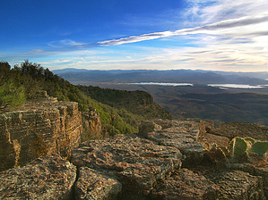
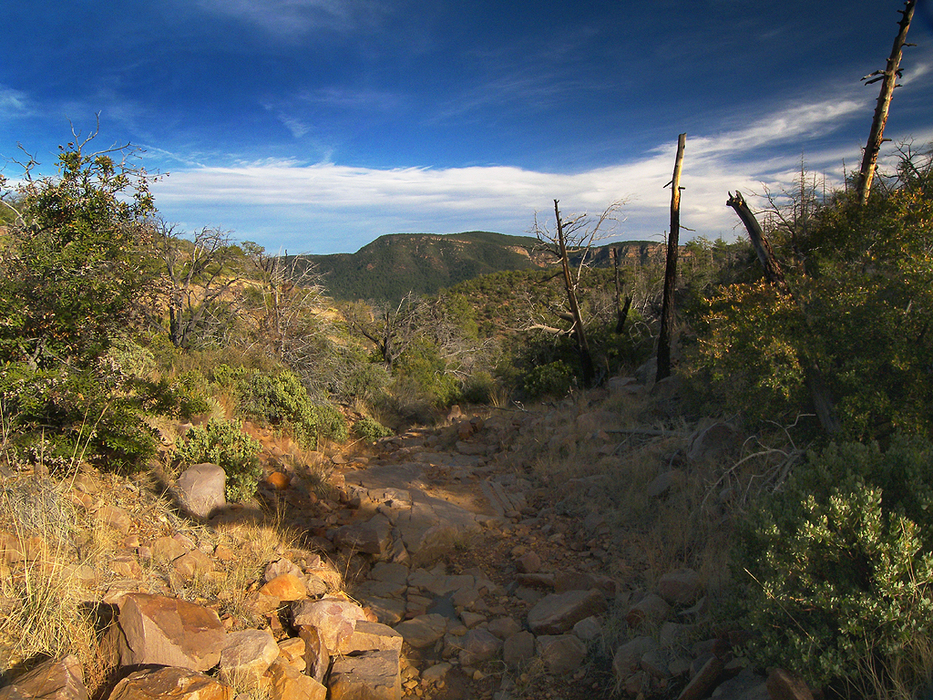
Armed, but not too dangerous! by PrestonSands   Overview OverviewArmer Mountain? It's dense brush, endless deadfall, no trail, cliffs, and uranium mines! But if you can overcome all of this, you'll be rewarded with one of the best views in the Sierra Ancha. This hike follows an ancient, washed-out mining road to the top of the 7310-foot peak of Armer Mountain. It varies from decent to wholly gone, depending on the location. A GPS unit, topo map, and good route finding skills are essential for this hike. History Sawmill Flat, where this hike begins, was a sawmill that provided Roosevelt Dam with the lumber necessary for its construction.
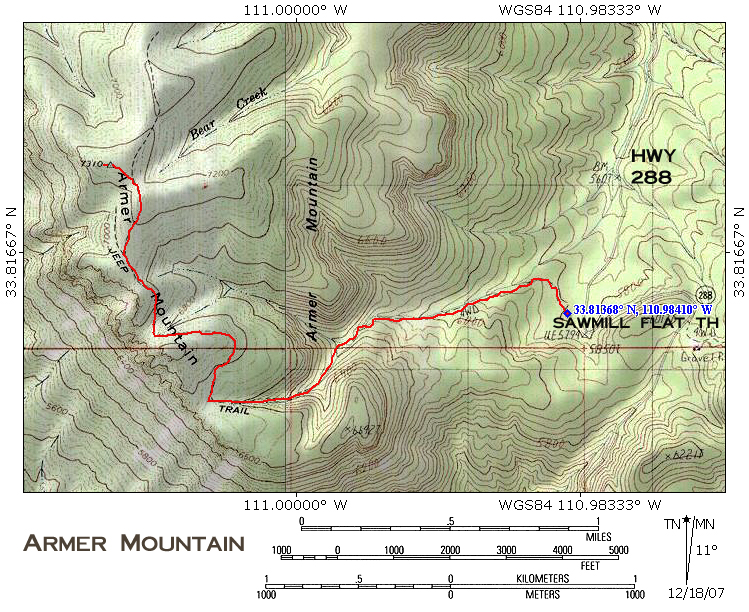
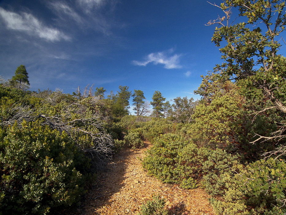
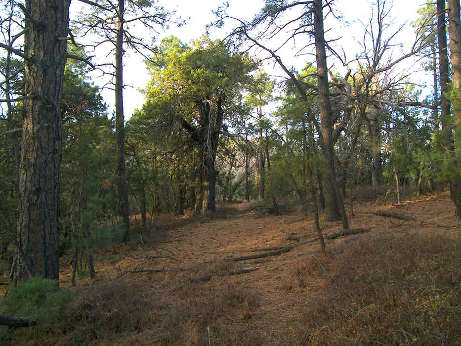
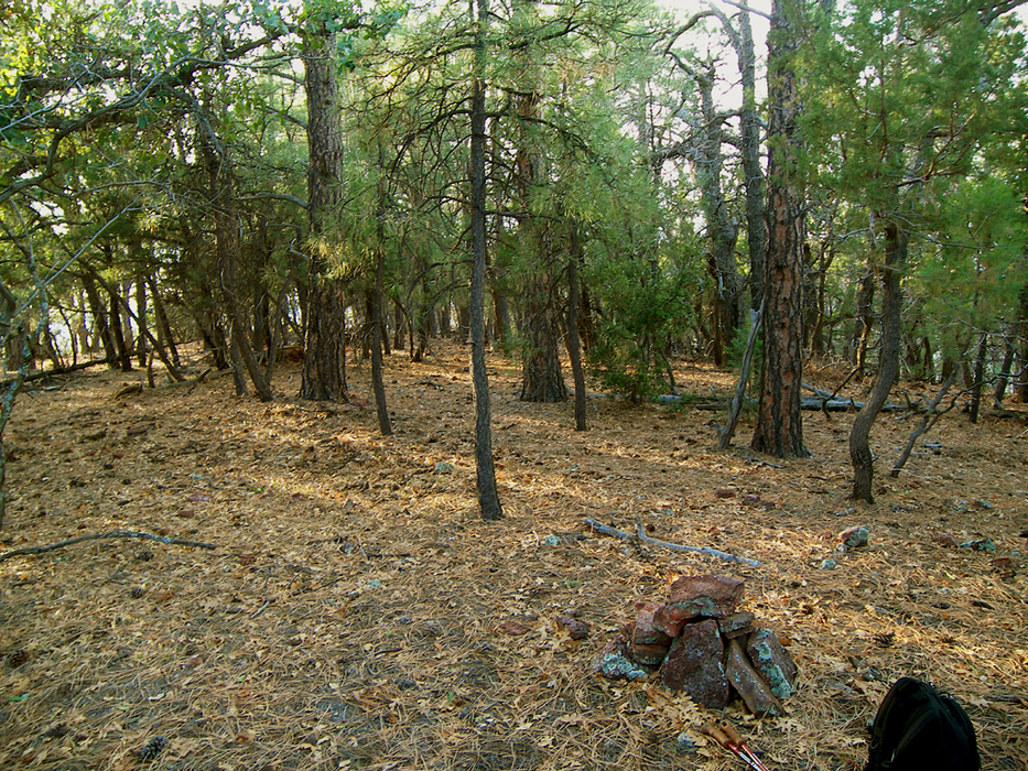
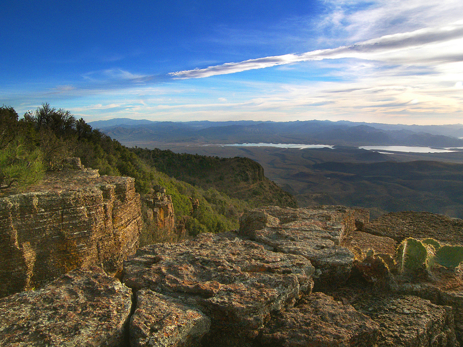
Hike At the Sawmill Flat camping area, along Highway 288, two primitive four-wheel-drive roads take off from the parking area's north side. The one furthest to the west starts about 400 feet west of the highway (33.81368 N, 110.98410 W). Follow this road north. After about 0.2 miles, the road will curve west-southwest and begin paralleling a rocky creek bottom up a ponderosa-filled canyon. At 0.8 miles, the road drops into the creek bottom and promptly disappears among boulders and fallen trees. Pick your way through and continue up the canyon. The canyon forks at 1.1 miles (33.81030 N, 110.99871 W); take the canyon to the right. The route now enters an old burn area, where post-fire erosion and fallen trees have trashed the canyon bottom. There is no trace of the road here. At 1.5 miles you'll reach the top of the canyon near a wide saddle. The old road reappears here on your right (33.80932 N, 111.00504 W), although it is almost overgrown with chest-high manzanita. To stay on track, watch carefully for the edges of the old road grade as you climb north up the hillside. The old road soon curves west to wrap around a ridge, where it exits the burn area and becomes more recognizable. The road arrives at a saddle at the 2-mile mark (33.81245 N, 111.00858 W), where the mountainside falls away into rugged cliffs, giving you a hint of the spectacular views to come at the summit. An unusual ledge has been dynamited out of the cliff face that is probably related to uranium exploration. Continuing, the road to the summit climbs north from the saddle to bypass the cliffs and is once again obscured by manzanita for a short distance. At the 7088 foot level, the old road arrives on the ridge top below the south side of the peak in a flat, open camping area. The road, which is exceptionally faint at this point, now forks (33.81630 N, 111.01004 W). Take the right fork and continue straight up the ridge to the north. The road reaches the relatively flat mountain top at around 7250 feet, where it passes through a barbed-wire fence. Head northwest at this point, and climb a short distance through the forest to the top of the peak. At the official top of Armer Mountain (33.82106 N, 111.01127 W), you will find a small rock pile containing the summit register. There are no views from the forested summit, but a few hundred feet to the west is an overlook (33.82108 N, 111.01215 W) where the mountainside drops off into thousands of feet of open air. There is a flat, rocky ledge there that makes a great place to sit and enjoy the views that stretch from the Pinal Mountains on the south to the Mogollon Rim on the north. Be sure to sign the summit register. Return the way you came. 2011-10-03 Hoolie's grandson writes Your Armer Mountain story is verified by the granddaughter of "Hoolie" Bacon. BTW, Hoolie is buried at the cemetery on the ridge above the Tin Hat Ranch (NF 60/A Cross Road, off the 288 Globe/Young road)
Check out the Official Route and Triplogs. Leave No Trace and +Add a Triplog after your hike to support this local community. | ||||||||||||||||||||||||||||||||||||||||||||||||||||||||||||||||||||||||||||||||||||||||||||||||||||||||||||||||||||||||||||||||||||||||||||||||||||||||||||||||||||||||||||||||||||||||||||||||||||||||


