Note: No official trail; route finding is necessary.
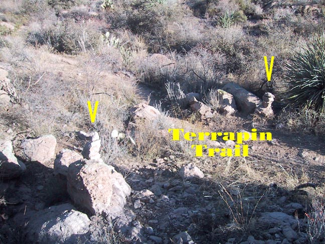
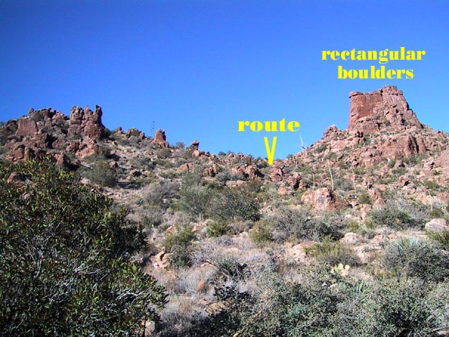
As you descend from Bluff Saddle going north on the Terrapin Trail you will quickly cross a small grassy wash with two or more rock cairns stacked on either side of the trail and both on top of small boulders. There is a fairly noticeable "use" trail here that is easy to follow up and to the left of the "solid rectangular boulder pile" on the ridge ahead. The path marked fairly well with cairns. Basically you are heading due west, on a line just south of the Needle.
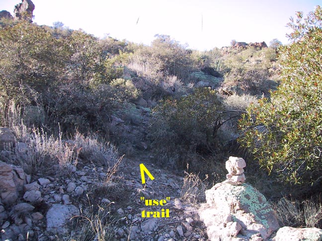
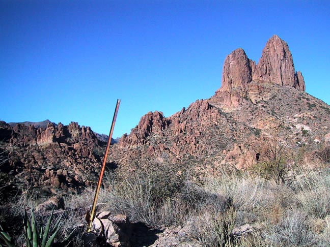
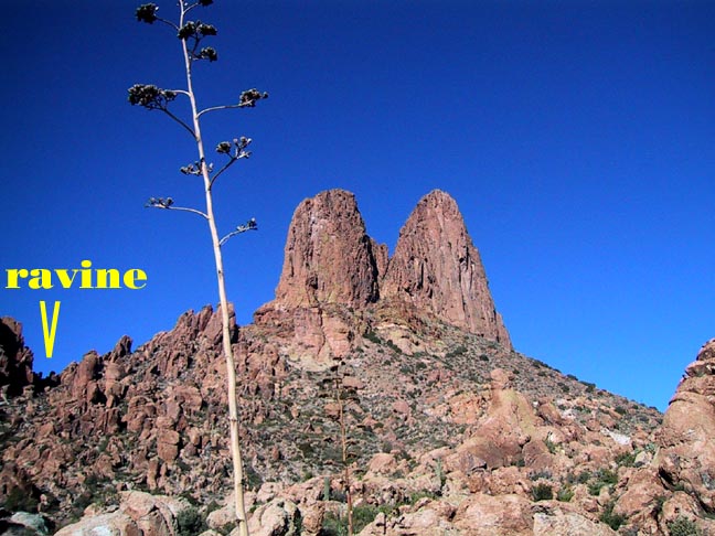
You will come to the top of the ridge with an orange metal fence post overlooking the beautiful and serene Needle Canyon running N-S on the east side of the Needle. Look west to the horizon just south of the Needle, and you will see the obvious gap or ravine in the ridge that will allow you to continue westbound. This is your target. It will always remain in sight, but getting there is a bit of a maze through the bushy trees on the sandy and flat valley floor. There are several "use" trails to choose from, of which a couple proceed more to the right for climber's access up to the Needle.
Once at the ravine, there is enough of a trail to follow despite the thick vegetation closing in at times (long pants recommended if temp allows - I didn't :(
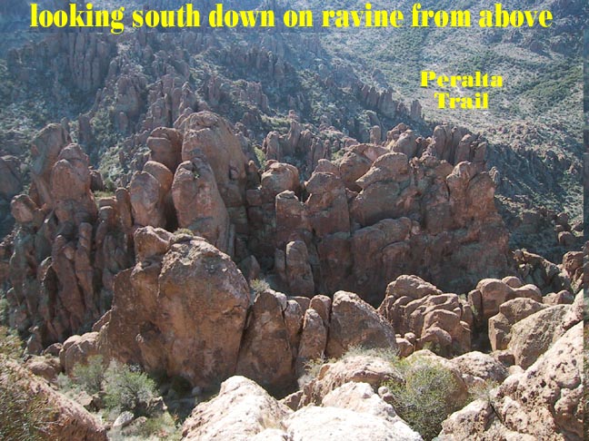
When you top the ravine, you are now basically heading down into East Boulder Canyon. Now you are looking for the "slab of rock" passageway on the left. Bypass the true hole in the wall you'll see up and on your left, as you go down (it doesn't work - I tried it). What you are looking for is a little further down and is a "V" gap in the wall at the bottom of a smooth rock slope with a "door" size slab of rock lying against the left side of it. On top of the slab, you'll notice some small stacked stones.
After you climb through this gap, you'll be able to spot Peralta Trail easily. Although the descent through the rocks looks pretty daunting(Changed to less daunting Dec 2024), it is not bad and goes pretty easy. Once you're out on Peralta, take a look back, and you'll see why it is not recommended to go in the other direction. I didn't have a clue as to where I had just emerged from that chaotic mess of boulders!
When hiking several trails on a single "hike", log it with a generic name that describes the hike. Then link the trails traveled, check out the example.
WARNING! Hiking and outdoor related sports can be dangerous. Be responsible and prepare for the trip. Study the area you are entering and plan accordingly. Dress for the current and unexpected weather changes. Take plenty of water. Never go alone. Make an itinerary with your plan(s), route(s), destination(s) and expected return time. Give your itinerary to trusted family and/or friends.
 Route Editor

 Note: No official trail; route finding is necessary.


