Route Editor

| Guide | ♦ | 1 Triplog | 0 Topics |
details | drive | no permit | forecast | route |
stats |
photos | triplog | topics | location |
| 14 | 1 | 0 |
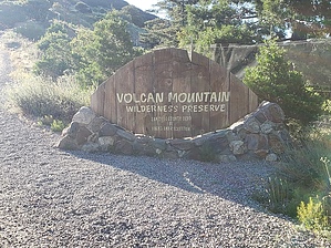
Peak, Wine and a bit of pie! by TheHikingGolfer  I arrived around 7:30 am, cool and clear, but comfortable conditions. About 60 degrees to start. I left my fleece and long pants in the car, knowing it would get warmer as I hiked. Reasonably clear for a SoCal day, so I had decent views of the area. I took the Summit trail going up, a steady, uphill climb. The trail is a good path, used both by hikers and bikers; reasonably wide. It took me about an hour to reach the summit. There's a small tower at the summit surrounded by a fence. On the way down, I took the Five Oaks Trail to see what it was like in comparison. More shaded, a more gradual descent. It's a hiking-only trail. Lots of birds and lizards. I returned to the trailhead a few minutes after 10 am.
Menghini and Volcan Mountain Wineries are located very close to the trailhead. Tasting rooms open at 11 am. They make for a relaxing post-hike stop. The staff at both wineries were amicable. Another worthwhile break is Mom's Pie House in both Julian and Wynola. Their bumbleberry (blueberry, blackberry, and boysenberry) crumb pie is wonderful. Check out the Official Route and Triplog. Leave No Trace and +Add a Triplog after your hike to support this local community. | |||||||||||||||||||||||||||||||||||||||||||||||||||||||||||||||||||||