 Route Editor

| Guide | ♦ | 22 Triplogs | 0 Topics |
details | drive | no permit | forecast | route |
stats |
photos | triplogs | topics | location |
| 45 | 22 | 0 |
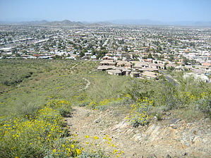
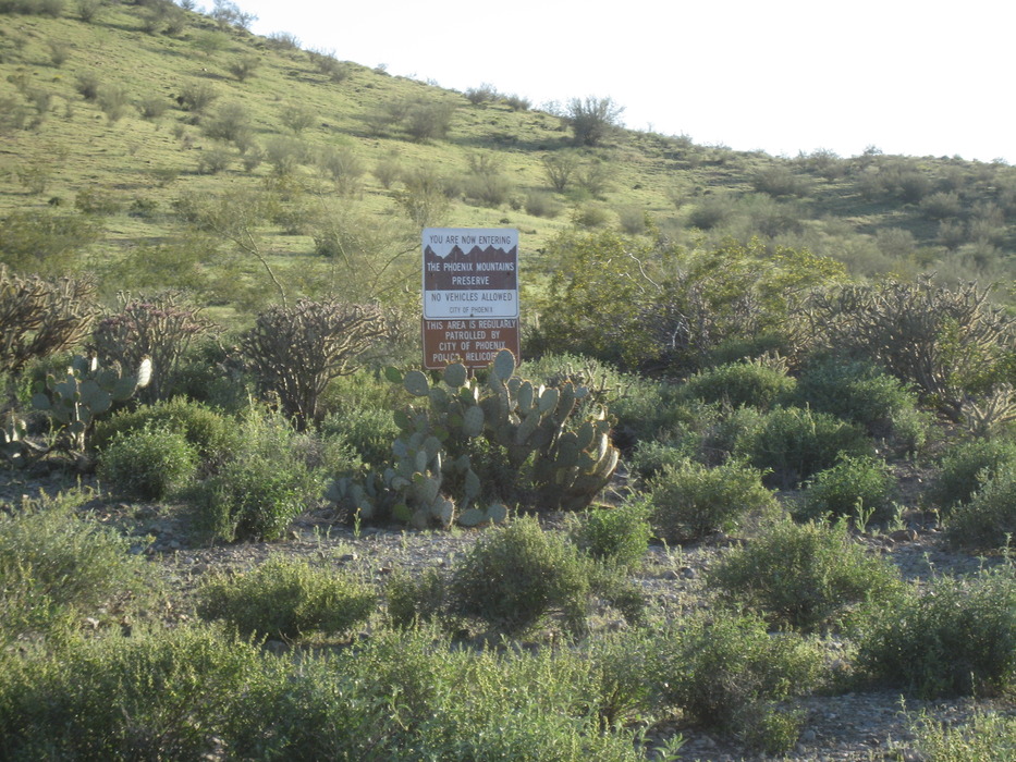
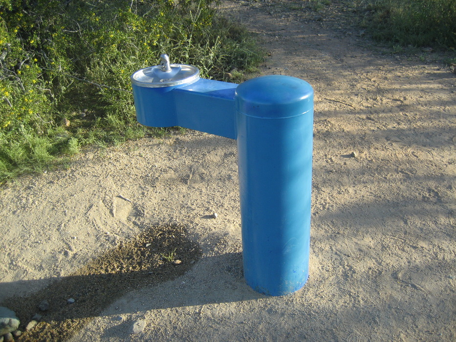
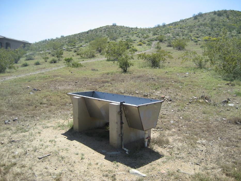
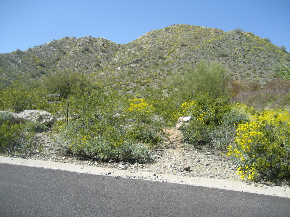
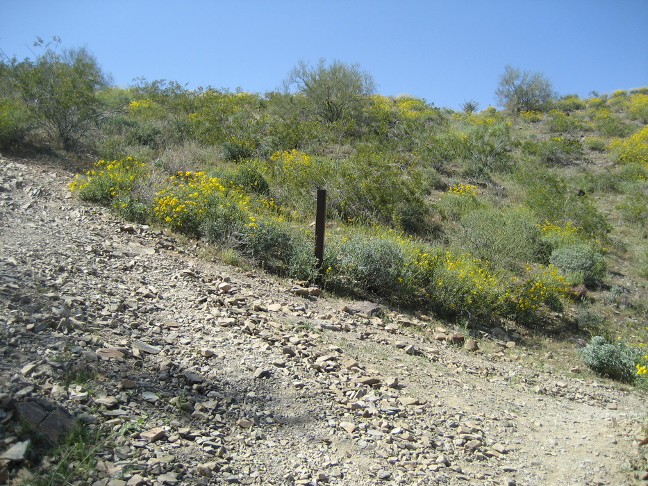
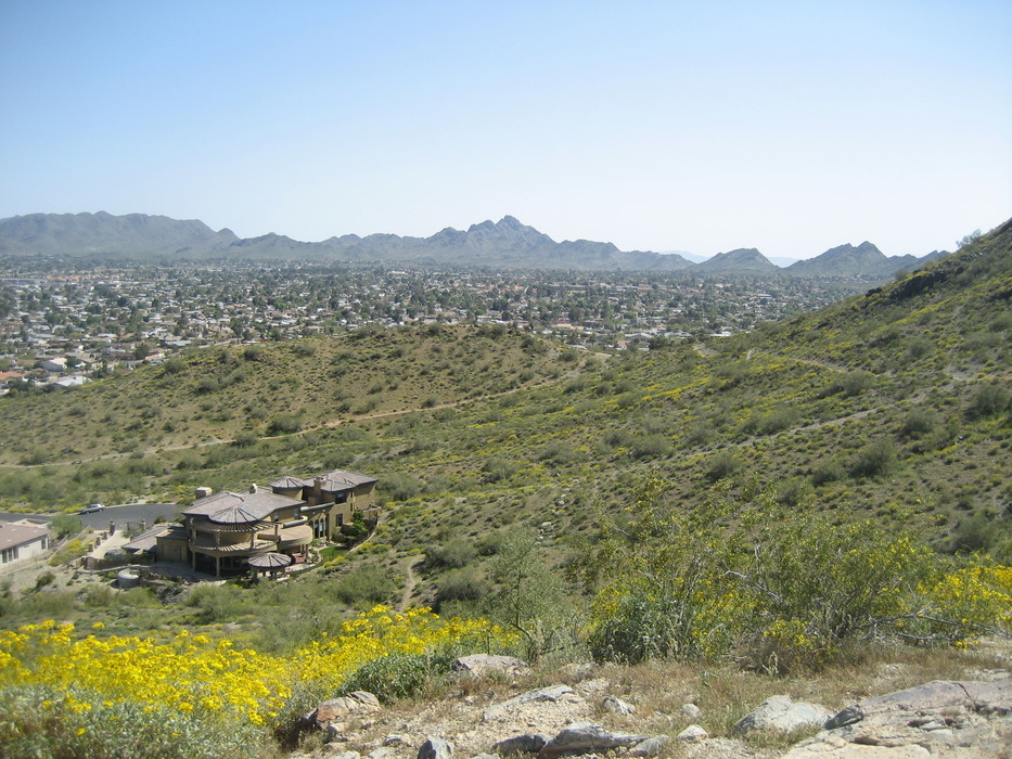
A nice stretch of the legs... by paulshikleejr  Overview OverviewShadow Mountain and its related prominences are a component of the Phoenix Mountains Preserve in the Lookout Mountain area. Although there are several natural and semi-blazed trails in the Shadow Mountain complex, there are only two, numbered trails. "Shadow Mountain Small Loop" is one of the numbered trails and is "Trail 312." Trail 312 is a very short, refreshing hike for beginners. Visible from and just east of Cave Creek Road between Acoma Drive and Sweetwater Avenue, the activity area is easy to get to and offers many nearby post-hike refreshment options north on Cave Creek along the way to AZ101 (particularly on the southern side of AZ101 at the Cave Creek exit). This part of the preserve seems to be only partially developed (it sports only a few posts here and there and all of those posts lack trail identification badges), but it does have (some distance away near the Acoma Drive Trailhead) one drinking fountain, a watering trough, and a trash receptacle. There are no restrooms.
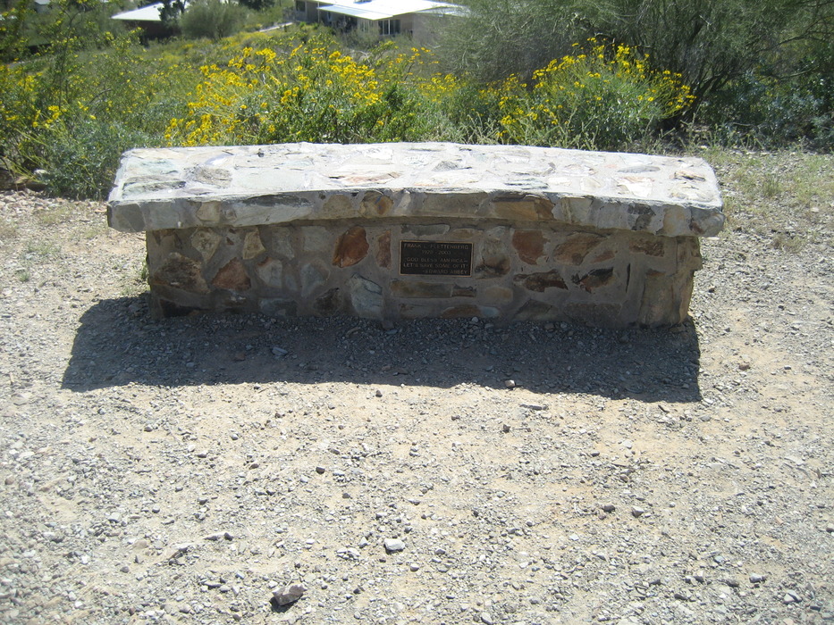
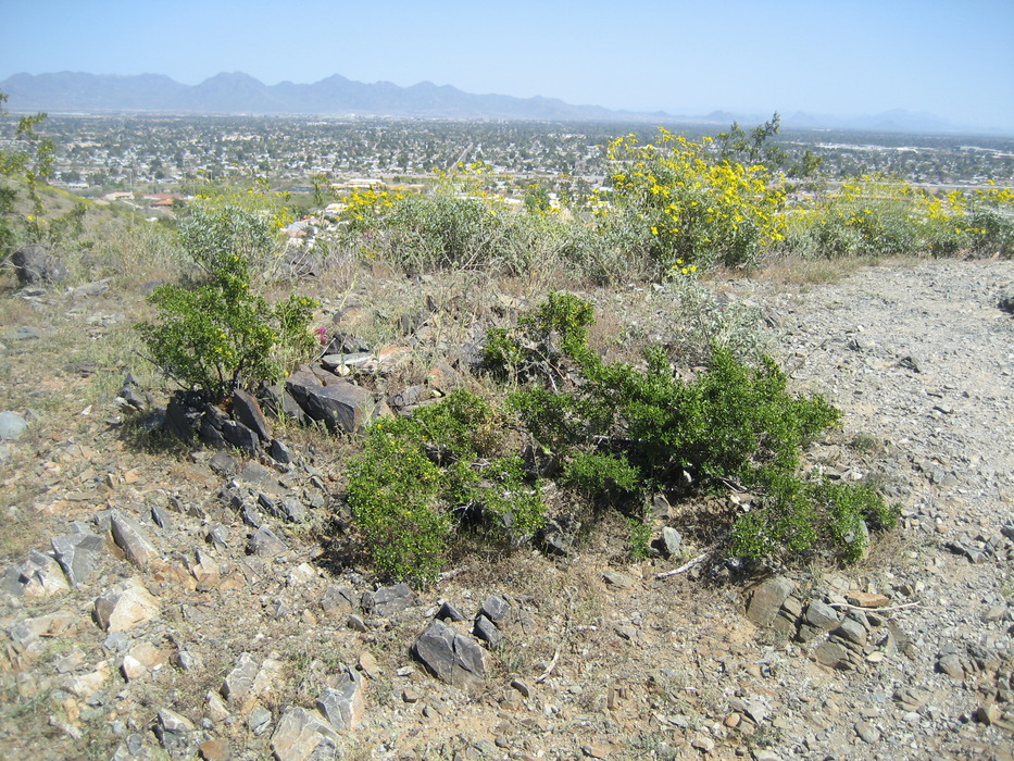
This seems to be a partially developed and only lightly maintained trail. The graphics found on the city and NGO Web sites documenting Trail 312 seem to be incorrect and I found them to be misleading. Hike Because the Shadow Mountain trails are only partially developed, the trailhead is located at 33.610824, -112.025246 and shown to be in the elbow between Voltaire Avenue and 26th Place. From the trailhead, follow the path forward and to the right (behind the house) about 590 feet to the Frank L. Plettenberg bench. Continue forward 1,015 feet to a post (I think the second post) at a fork. Take the left tine and hustle 155 feet up the slope to another intersection of trails. Hang to the right and proceed 210 feet to the top of a prominence. At 1,727 feet, this is the highest point of the trail. Looking north from this location, you can see the Acoma Drive trailhead. Don't take the path to the Acoma Drive trailhead--take the path to the right that leads down a gentle slope to a post and intersection and then to the top of another prominence (a quick 470 feet, in all). From here, you can look south at the Piestewa Peak complex. Turn roughly 90 degrees right and proceed back the way you came 195 feet to a three tined fork. Take the left tine and walk 370 feet back to the post you saw earlier. Turn left and head down the path 1,005 feet to the bench and then downslope to the trailhead. All told, this trail is about 0.87 miles in length. Check out the Official Route and Triplogs. Leave No Trace and +Add a Triplog after your hike to support this local community. | ||||||||||||||||||||||||||||||||||||||||||||||||||||||||||||||||||||||||||||||||||


