Route Editor

| Guide | ♦ | 9 Triplogs | 0 Topics |
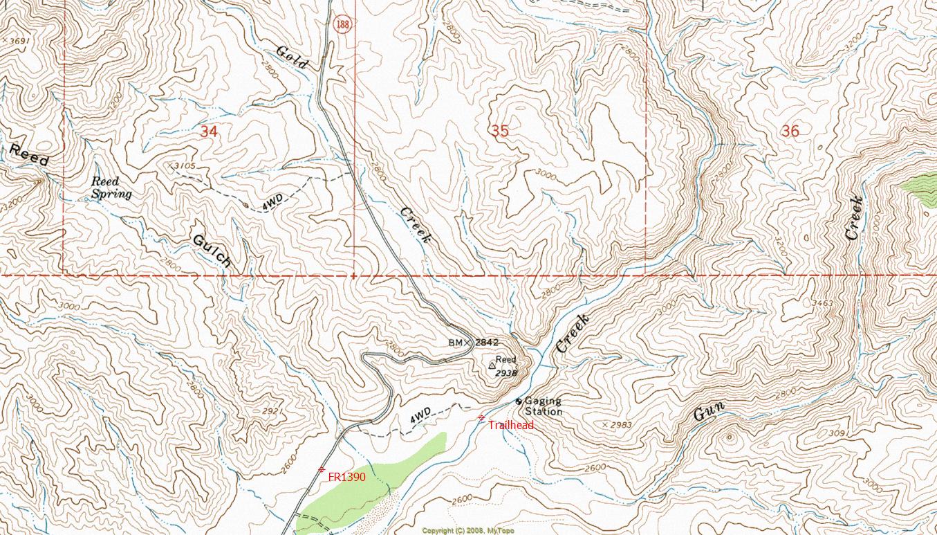
details | drive | no permit | forecast | map |
stats |
photos | triplogs | topics | location |
| 107 | 9 | 0 |
Canyons are inherently risky. Flash floods occur without notice on sunny days. Technical skills & surrounding topography knowledge required yet does not eliminate risk.
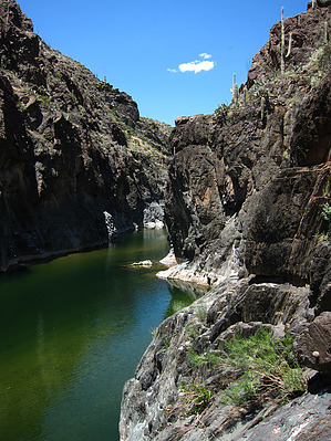
  Overview OverviewTwo-mile long narrow segment of Tonto Creek, AKA "The Box". This segment is a popular class 4-5 whitewater kayaking run during heavy runoff.
Check out the Triplogs. Leave No Trace and +Add a Triplog after your canyon trip to support this local community. | ||||||||||||||||||||||||||||||||||||||||||||||||||||||||||||||||||||