Route Editor

| Guide | ♦ | 4 Triplogs | 0 Topics |
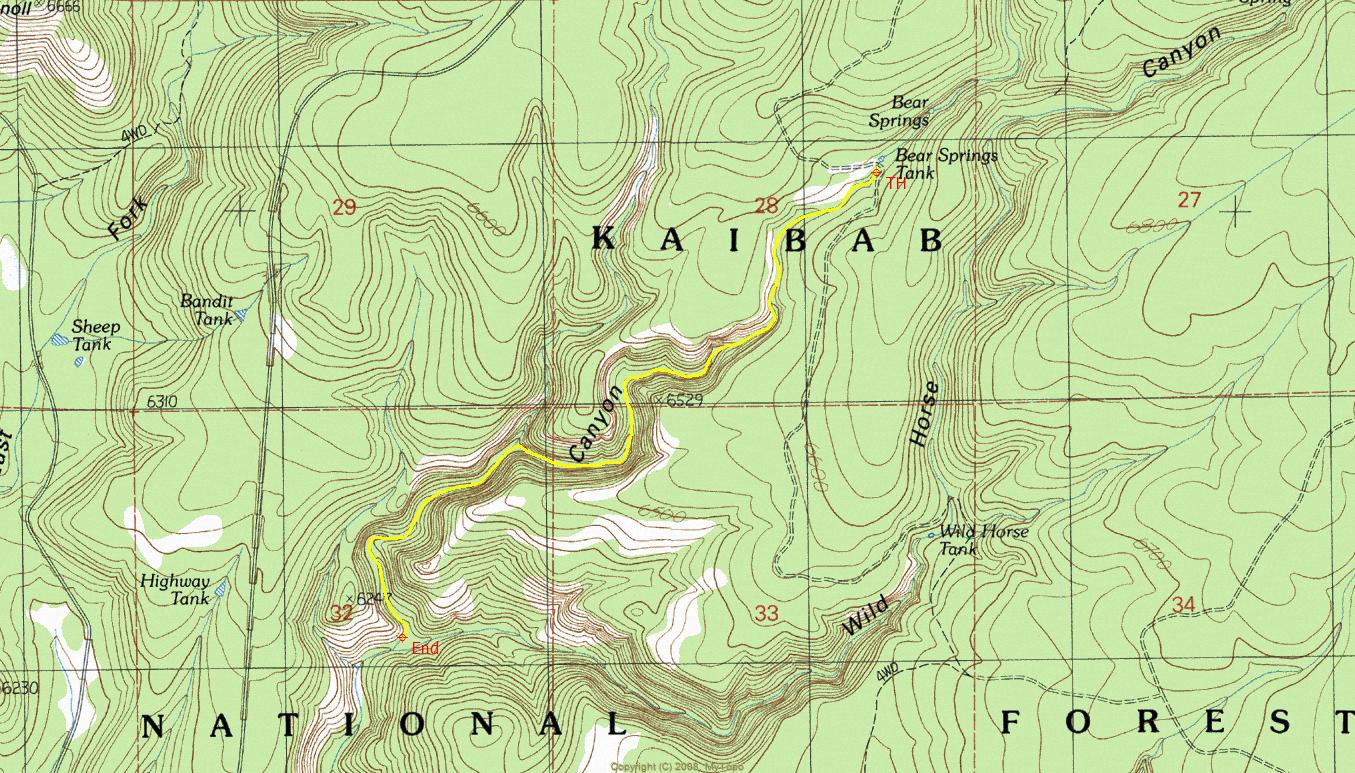
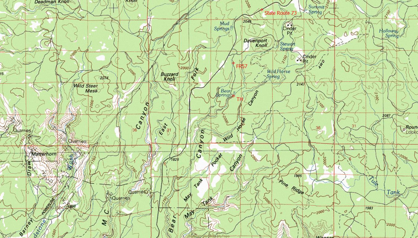
details | drive | no permit | forecast | map |
stats |
photos | triplogs | topics | location |
| 13 | 4 | 0 |
Canyons are inherently risky. Flash floods occur without notice on sunny days. Technical skills & surrounding topography knowledge required yet does not eliminate risk.
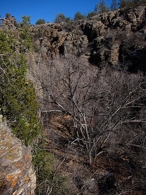
 Overview: Rugged high-country canyon route. Overview: Rugged high-country canyon route. Happy Trails!
Check out the Triplogs. Leave No Trace and +Add a Triplog after your canyon trip to support this local community. | |||||||||||||||||||||||||||||||||||||||||||||||||||||||||||||||||||||||