Route Editor

| Guide | ♦ | 16 Triplogs | 1 Topic |
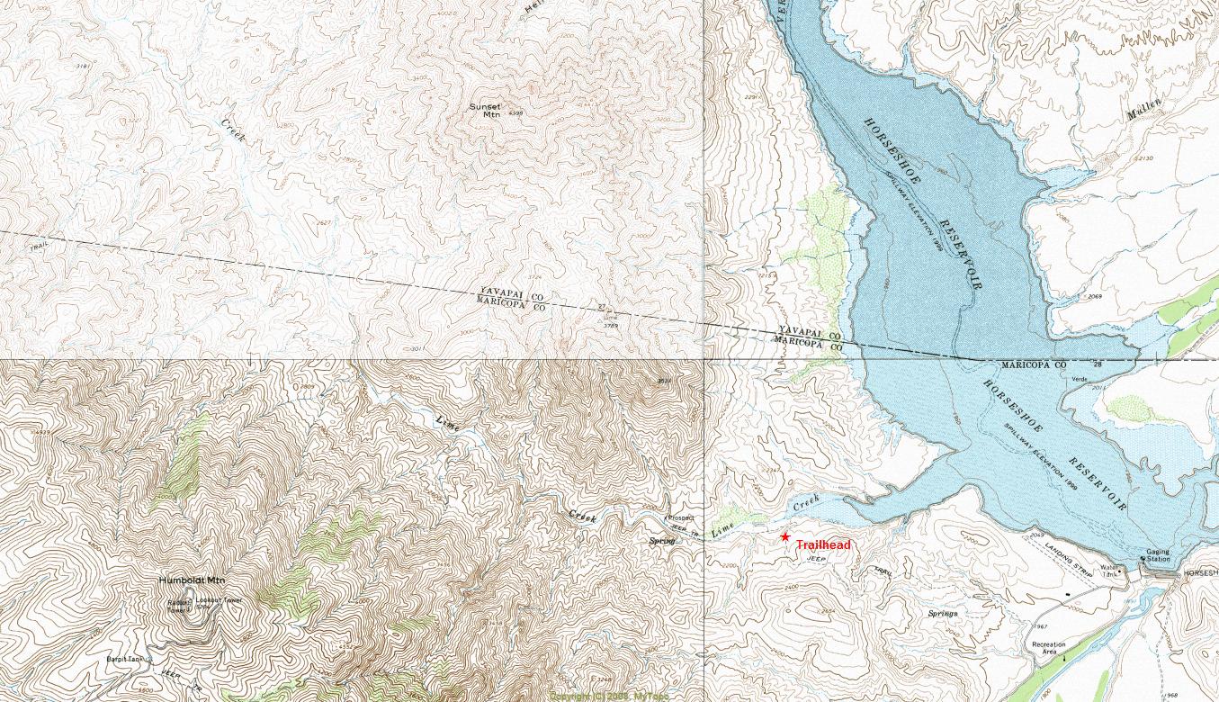
details | drive | no permit | forecast | map |
stats |
photos | triplogs | topic | location |
| 238 | 16 | 1 |
Canyons are inherently risky. Flash floods occur without notice on sunny days. Technical skills & surrounding topography knowledge required yet does not eliminate risk.
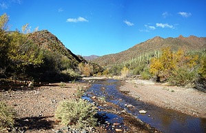
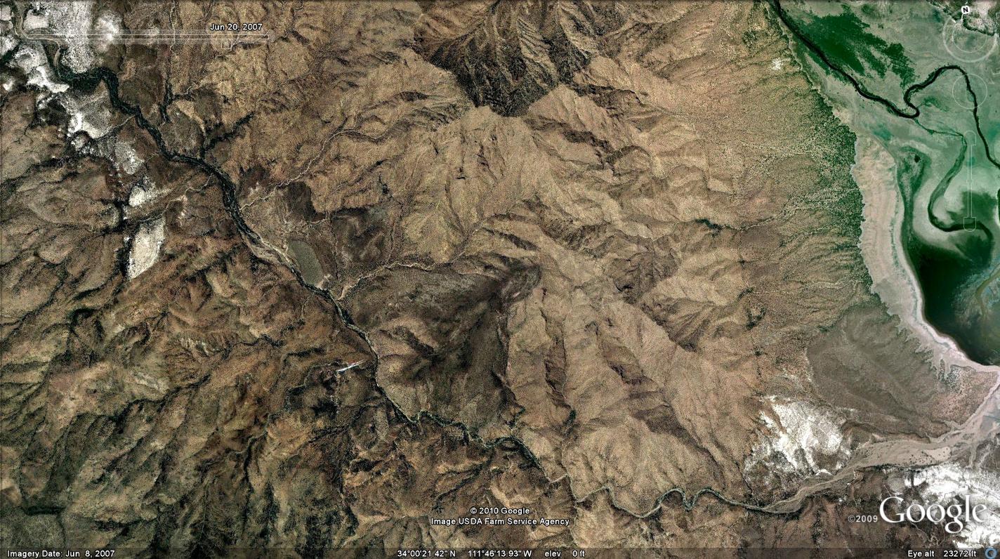
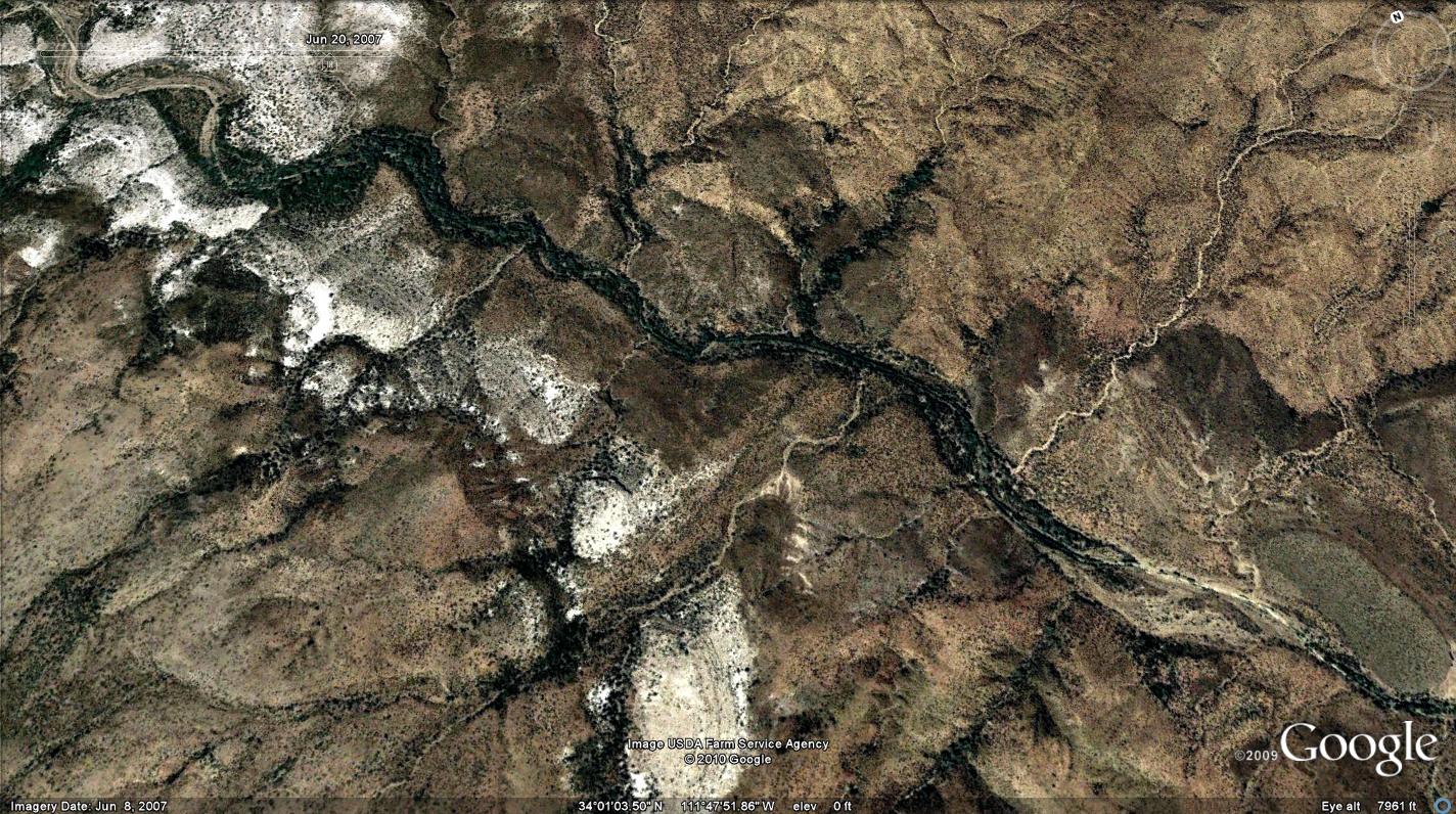
  Overview OverviewLime Creek is a small perennial stream located in the remote hills northwest of Horseshoe Lake. Perennial flow typically begins two miles upstream from the designated trailhead and runs over a four-mile segment with various riparian vegetation and native fish including Gila topminnow and longfin dace.
Check out the Triplogs. Leave No Trace and +Add a Triplog after your canyon trip to support this local community. | ||||||||||||||||||||||||||||||||||||||||||||||||||||||||||||||||||||||||||||||||||||||||||||||||||||||||||||||||||||||||||||||||||||||||||||||||||||||||||||||||||||||||