 Route Editor

| Guide | ♦ | 6 Triplogs | 0 Topics |
details | drive | permit | forecast | route |
stats |
photos | triplogs | topics | location |
| 112 | 6 | 0 |
Kick Ash! by Dano 1) It has a 4,500 foot elevation gain. For you Arizona hikers, I equate this to climbing Camelback Mountain three times. I found this one harder than Humphrey's Peak near Flagstaff, simply because of the amount of uphill climbing. Though I was in decent shape, it took me 5 hours to get to the top.
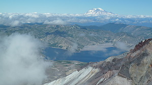
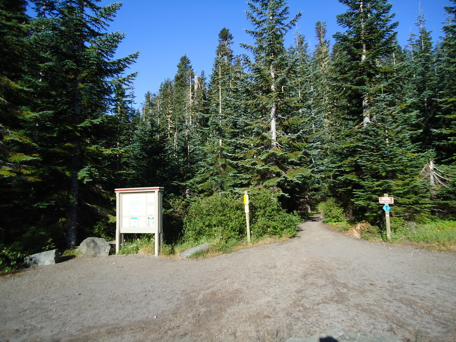
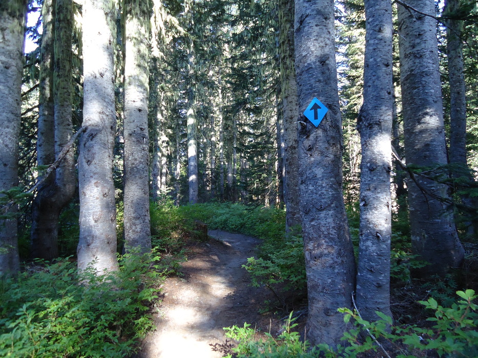
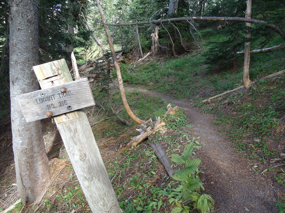
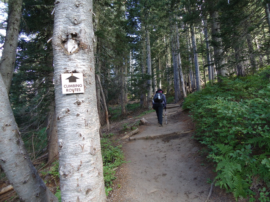
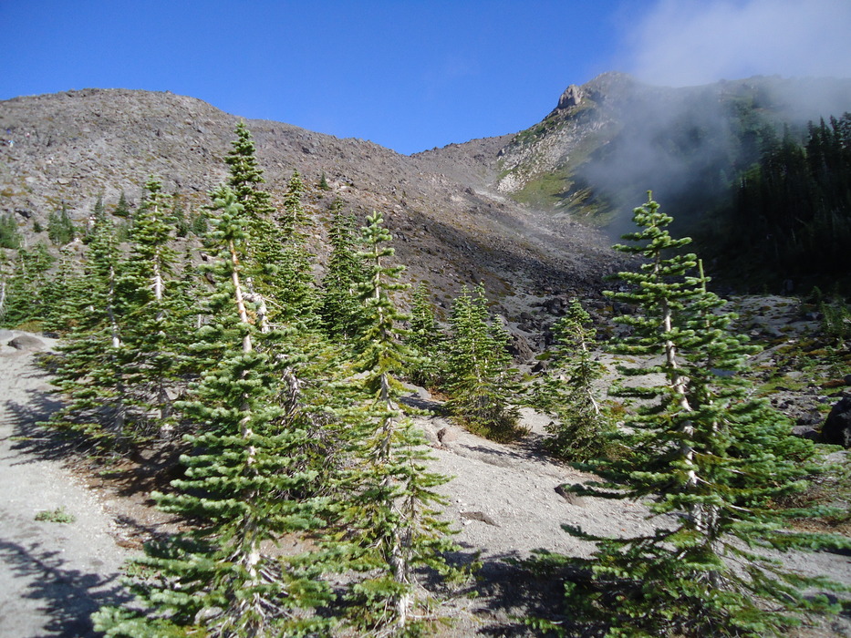
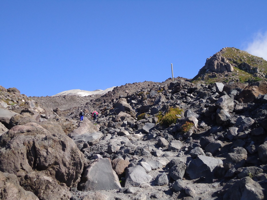
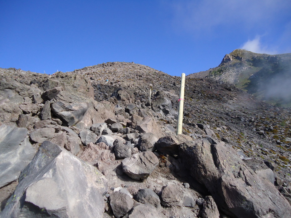
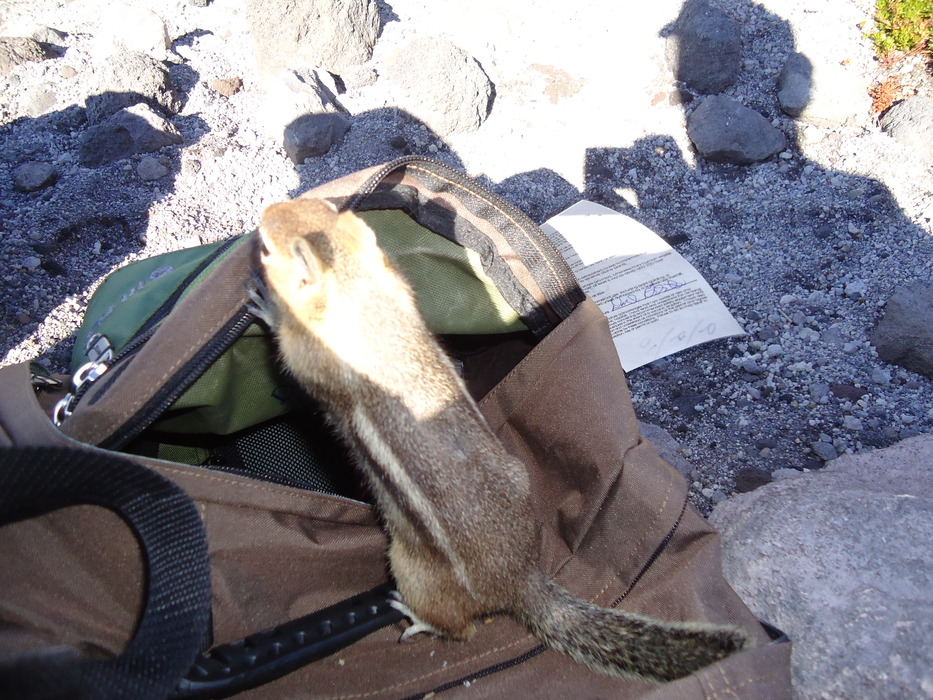
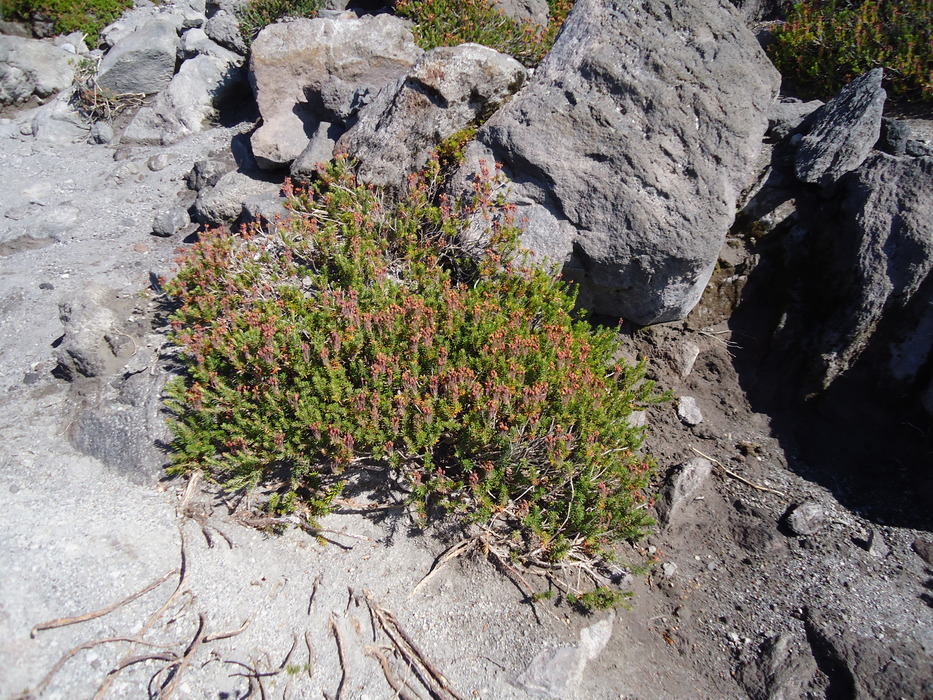
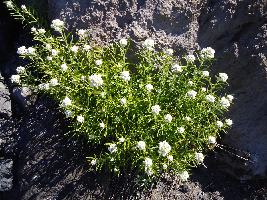
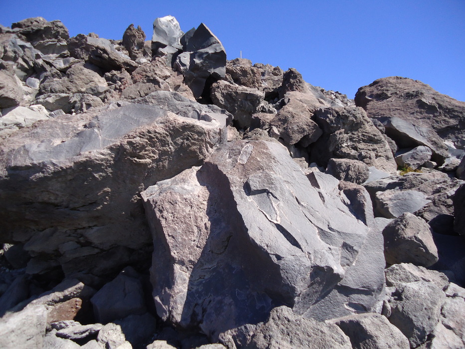
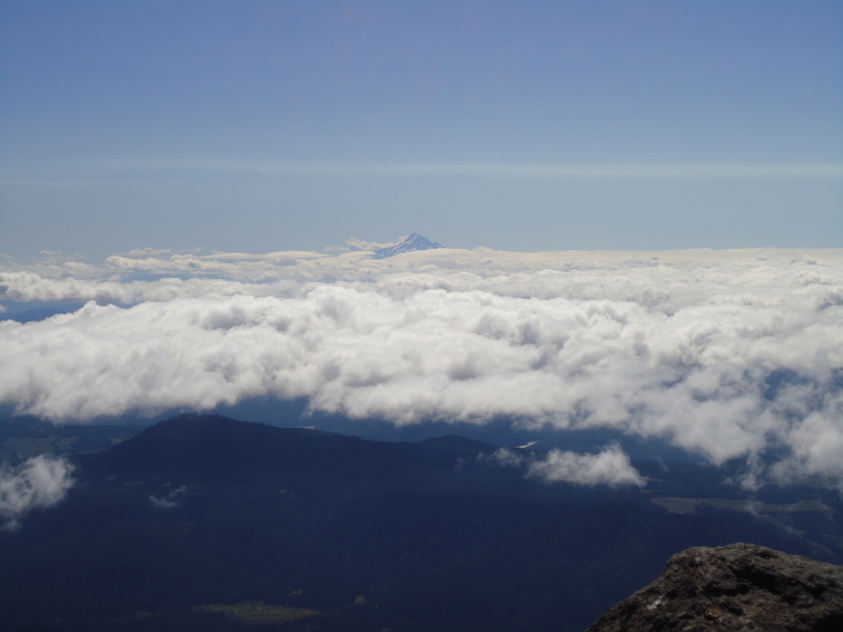
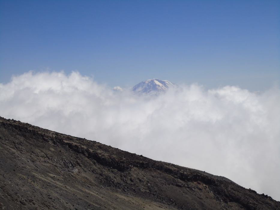
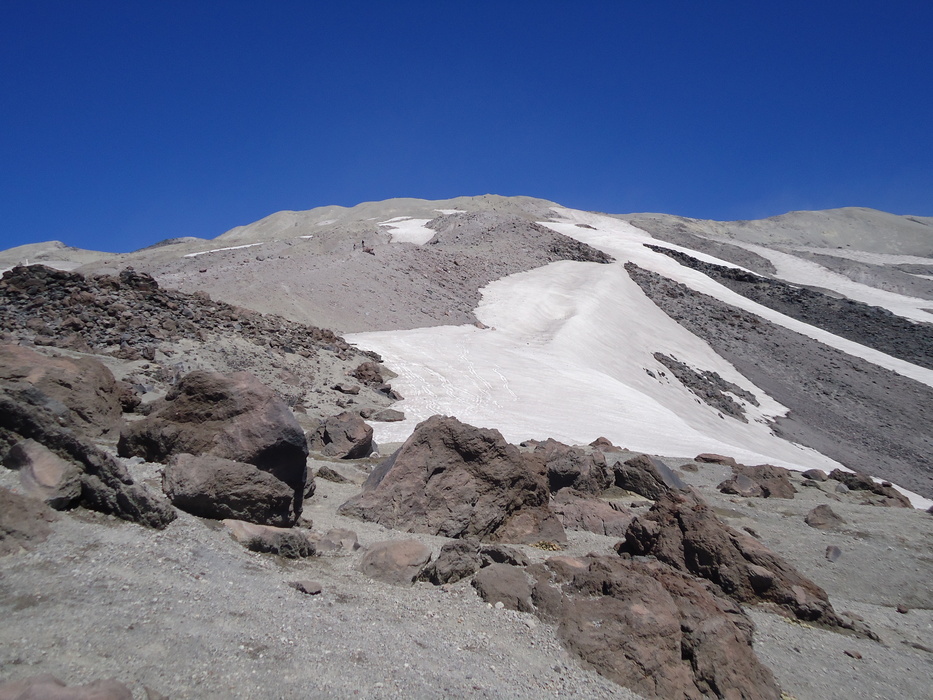
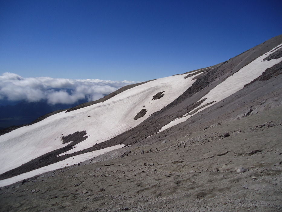
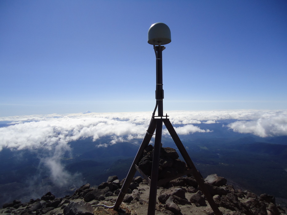
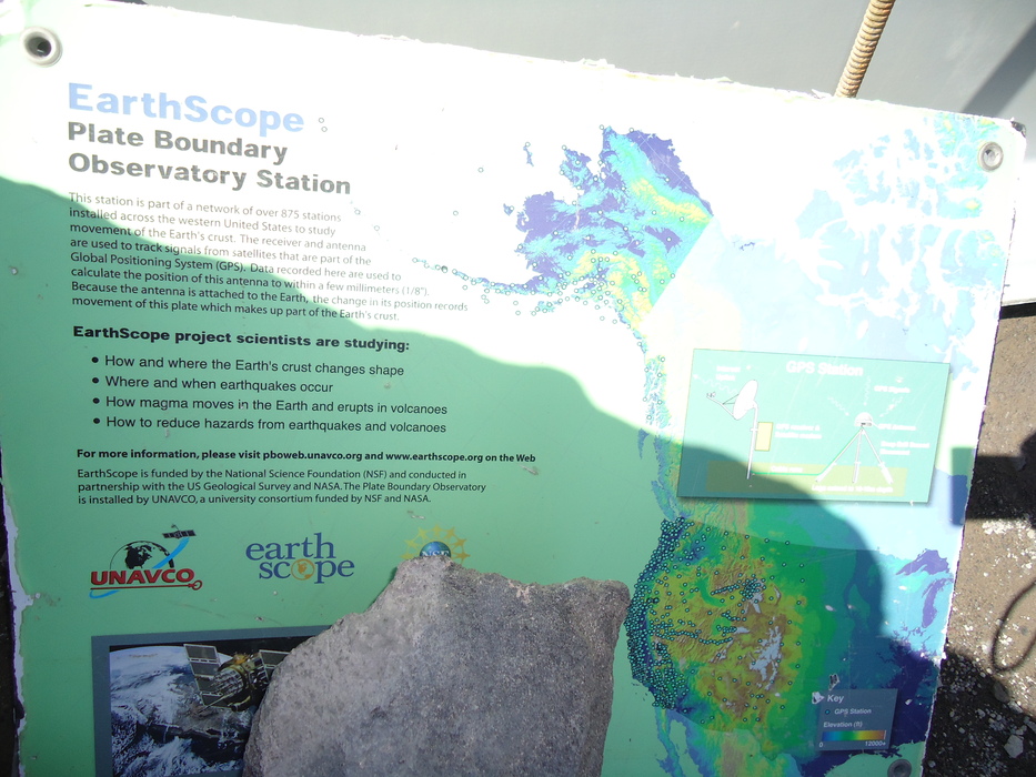
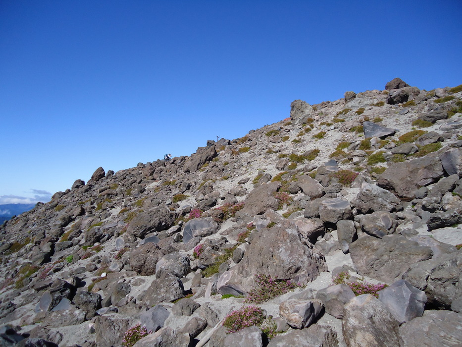
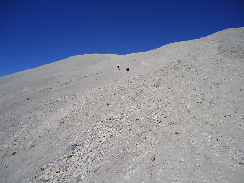
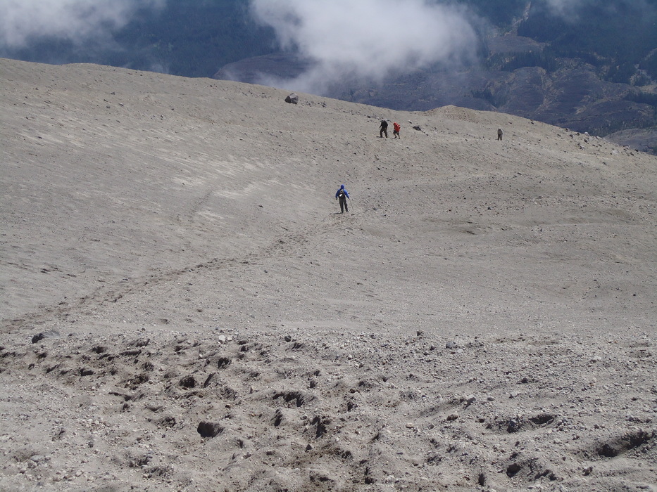
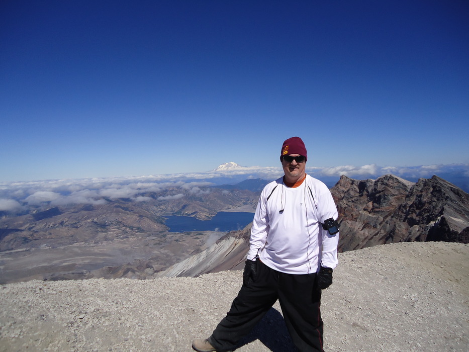
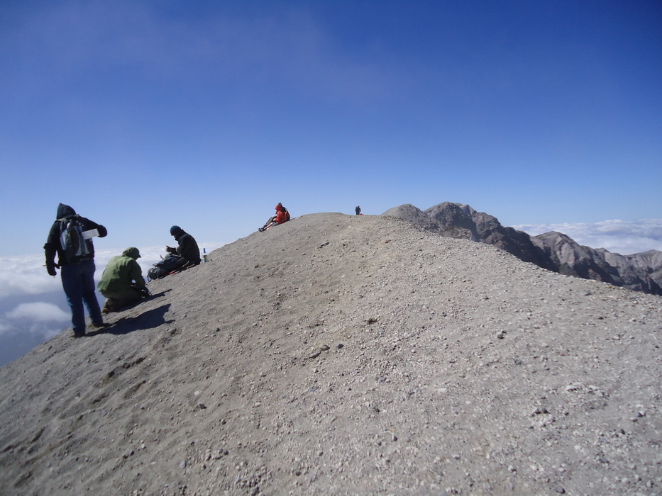
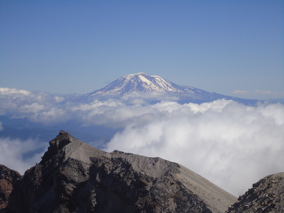
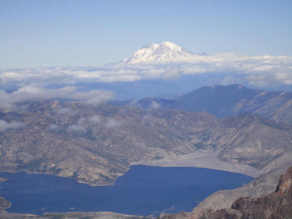
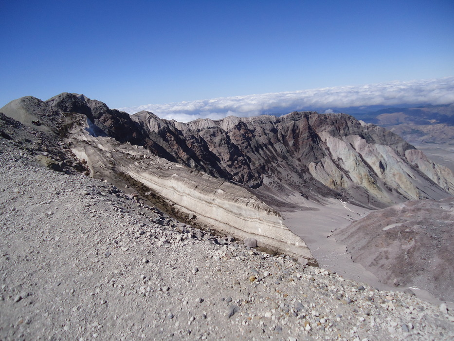
3) You must plan ahead and get a permit to make this hike. Instructions can be found here and here. The bad news is that only 100 hikers are allowed to hike above 4,800 feet from May 15th to October 31st, and most summer days sell out a month in advance (weekend days even earlier). The good news is that people often purchase the permit, then realize they cannot do the hike, and post on a message board. This message board is how I got my permit just the day before my hike. I e-mailed the person offering the permit; he left it at the Lone Fir Resort where you register, and I left the money with the Resort for him to pick up after the hike. Since you must register before and after the hike, there was no inconvenience to anyone. As far as equipment to bring, I suggest that you check out the web sites above. Volcanic ash is everywhere--I got it in my ears, my eyes, and in my boots. If you are not wearing long pants, then get gaiters, and be sure to cover up as much as you can. The weather can change quickly, so get the latest forecast. The Trailhead starts at the Climber's Bivouac parking lot; there is a restroom there, and another about 2 miles up the trail. The first two miles meander through beautiful forest, then intersect with the Loowit trail. Continue straight ahead where the trees quickly thin out, and the rock climbing begins. There are dozens of paths, but just be sure to stay within sight of the posts. I had a rather aggressive chipmunk climb in my lap seeking some of my food. Above the timberline there are smaller plants and flowers to enjoy; do your best to avoid stepping on them. The trail then alternates between ash and rocky portions. On this September day, once I got above the cloud level, there were great views of Mt. Hood to the South, and Mt. Adams to the immediate East. During some portions you can actually see the summit, but be patient, it is a few hours' hike away. Patches of snow and a few small glaciers reveal evidence of hikers glissading on their return path (I didn't try this, but in the spring it is quite popular, though dangerous). At about 7,200 feet you will hike past a monitor, with a sign revealing its purpose. There is another one further down the hill, but it is obscured. From this point onward it is a tough, slow push. You can see the summit with the lucky hikers at the top. The altitude starts to be a factor as well. The ash gets deeper, and I found myself only able to walk 1 or 2 minutes at a time before resting. At this point it is sheer determination that moved me to the top; some younger, fitter hikers passed me, but with patience, I was able to make it to the rim. The views are spectacular: the rim, Mt. Adams, Spirit Lake and Mt. Rainier and snow at the edge of the crater. The first portion of the descent is easy, merely walk-sliding on the ash. Once you reach the rocky portions, be extra careful because your knees are shaky, and exhaustion starts to set in. I had several near slips and falls. Check out the Official Route and Triplogs. Note This is a difficult hike. Arrive fit and prepared or this could get ugly. Leave No Trace and +Add a Triplog after your hike to support this local community. | |||||||||||||||||||||||||||||||||||||||||||||||||||||||||||||||||||||||||||||||||||||||||


