username
X
password
register
for free!
help


Spring Creek Ranch, AZ

Guide 1 Triplog  1 Topic
  3 of 5  
Fav
Wish
2
details
drive
permit
forecast
map
stats
photos
triplog
topic
location
10 1 1
Statistics
tap row or icons for details
Distance One Way 0 miles
Trailhead Elevation 4,689 feet
 Interest Historic & Perennial Creek
feature photo
Photos Viewed All MineFollowing
8  2010-10-09 ssk44
2  2010-10-06 ssk44
Author
author avatar Guides 16,843
Routes 17,472
Photos 24
Trips 1 map ( 6 miles )
Age 28 Male Gender
Location HAZ, TrailDEX
Associated Areas
list map done
Payson Region
Historical Weather
Trailhead Forecast
Expand Map
Preferred Apr, Oct, Mar, Nov
Sun  6:00am - 6:46pm
0 Route
 
1 Alternative


remove free decal offer

  
Guide Needed
Publish Full Detail Guide


Use +Add above to share photos and triplogs
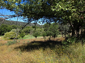
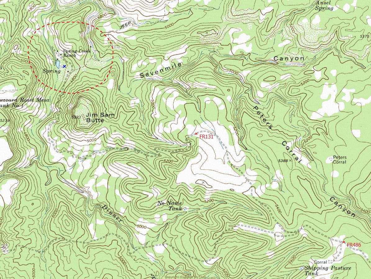
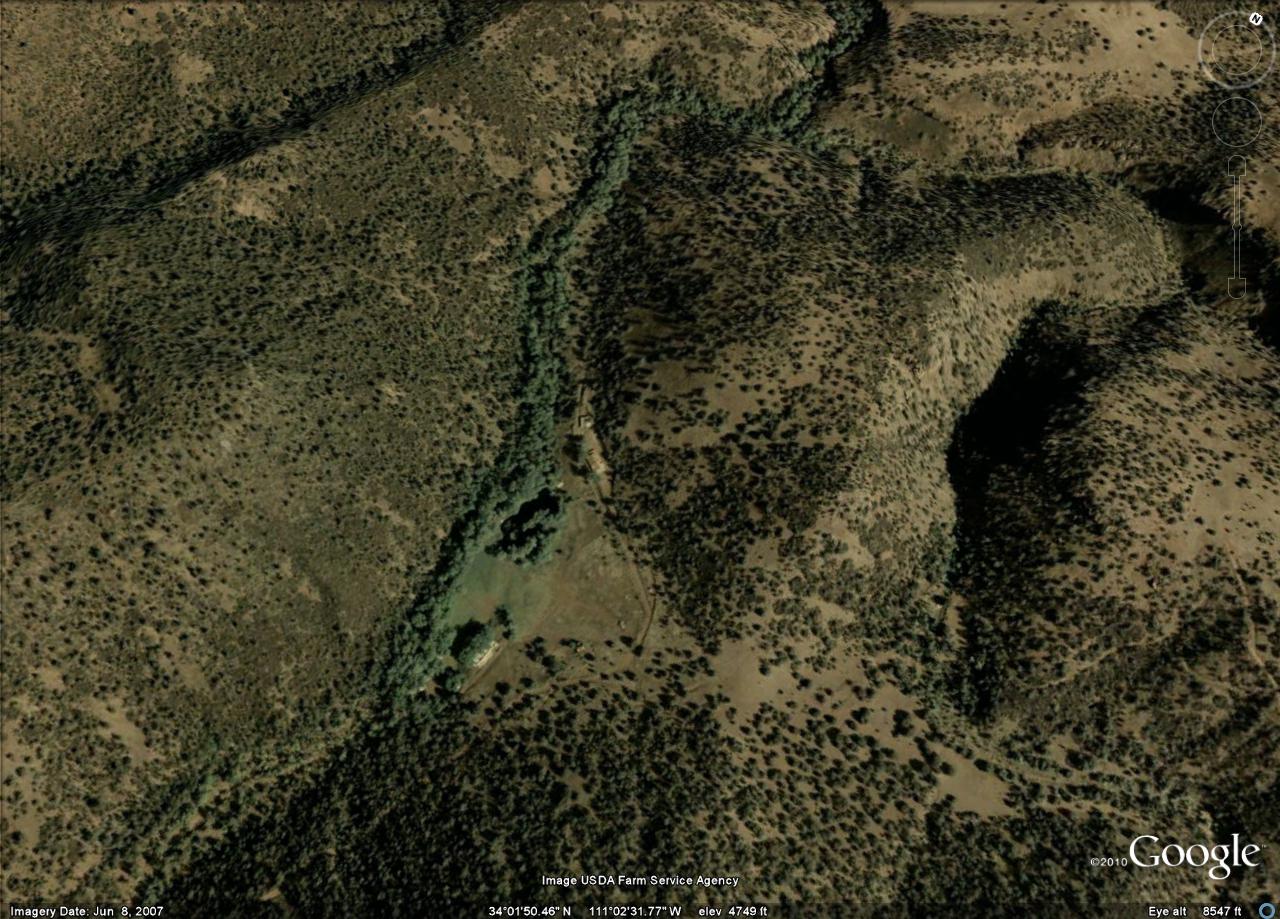
Overview: Remote homestead site located deep within the Sierra Ancha Mountains. Spring Creek was the site of many exciting historical events during the late 1800's and early 1900's.


  • guide related image guide related image
    guide related


Check out the Triplog.
Leave No Trace and +Add a Triplog after your hike to support this local community.

One-Way Notice
This hike is listed as One-Way.

When hiking several trails on a single "hike", log it with a generic name that describes the hike. Then link the trails traveled, check out the example.
WARNING! Hiking and outdoor related sports can be dangerous. Be responsible and prepare for the trip. Study the area you are entering and plan accordingly. Dress for the current and unexpected weather changes. Take plenty of water. Never go alone. Make an itinerary with your plan(s), route(s), destination(s) and expected return time. Give your itinerary to trusted family and/or friends.

 Permit $$
Special Use

Special
This is a private property but contact one of the owners in scottsdale at Dmoore10@cox.net Large groups are welcome to rent, such as Boy Scouts, Anazazi in Mesa, Large family reunions.


 Directions
or
 Road
High Clearance possible when dry

To hike
Globe - Highway 188 - Highway 288 - FR486 - End of FR131
page created by ssk44 on Oct 06 2010 8:23 am
 90+° 8am - 6pm kills
helpcorrectionissue

end of page marker