 Route Editor

| Guide | ♦ | 15 Triplogs | 0 Topics |
details | drive | permit | forecast | route |
stats |
photos | triplogs | topics | location |
| 327 | 15 | 0 |
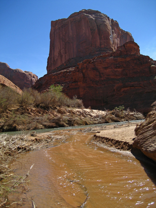
A classic redrock hike by caddymob  There are a couple of ways in, but I think the Hurricane Wash route is probably the best in terms of time and ease of entry. It is a little mind-numbing for the first few miles as you are up on a rather flat plateau walking through a wash and plenty of cow patties. It can be hot up there as you are exposed with little shade. There is plenty of ankle-busting, flour-like sand which is not fun if you are carrying a heavy pack. Trekking poles help maintain your speed and balance through this stuff. I can't imagine doing it when it's > 90°... But soon enough, you begin to descend into wonderland. Hurricane Wash itself is pretty interesting, with many neat formations and interesting sights along the way.
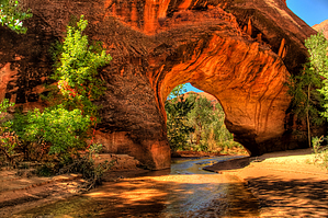
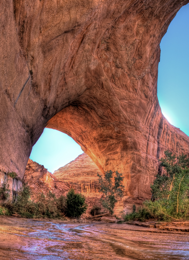
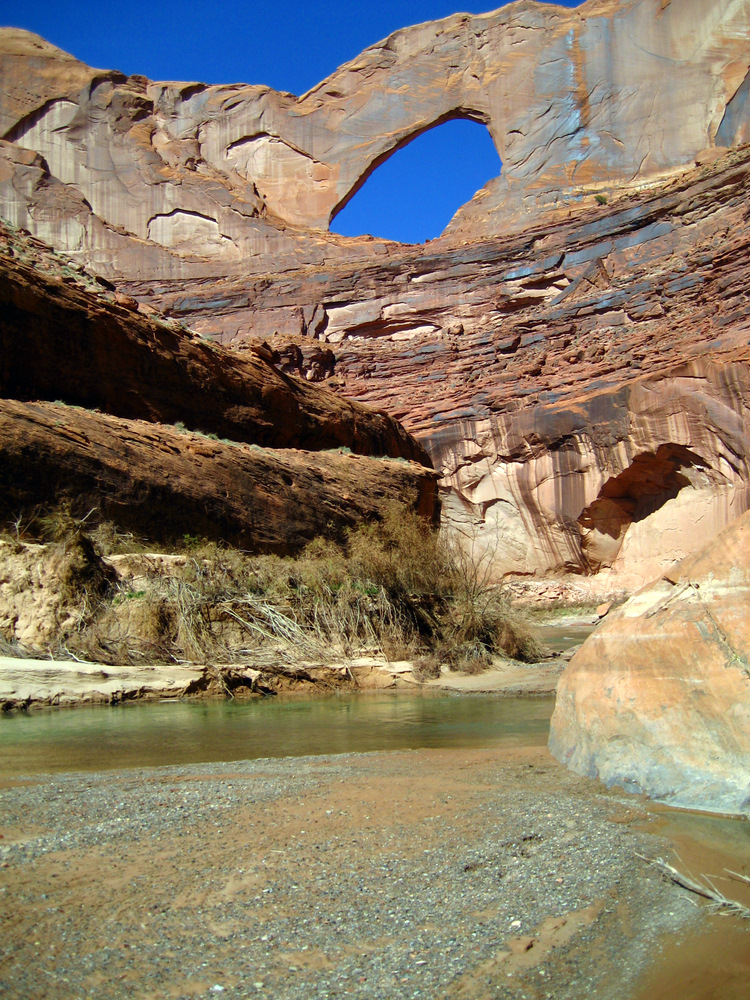
Once in the canyon, if planning to camp -- there are basically great campsites at every bend. I like to camp at or near Jacob Hamblin Arch -- this is 7.2 miles in from the trailhead and makes for a nice day hike the 2nd day down to the Escalante River. This sinuous canyon meanders deeper and deeper into the sandstone until it meets the Escalante River downstream. If you make it to the confluence, be sure to wade just a little way upstream in the Escalante to check out Steven's Arch. Explore this canyon, and remember to look behind you often -- each bend has its own surprises -- from massive undercut banks that result in mind-bending amphitheaters, to waterfalls and cascades, to arches, cottonwoods, and more. This is not a hike that should be done in a day -- it has to be enjoyed, allowed to soak into your bones. Night in the canyon is particularly peaceful. There are a few latrines in the canyon, which is a great thing (not to mention they have the BEST view you will EVER have whilst doing your business)... Otherwise, the park service asks you to pack out your poop. Seriously... This is a popular destination and thousands of catholes can have rather deleterious effects on these fragile environs. And note -- NO DOGS ALLOWED. Every time I've been in I have seen a park ranger who checks my permit and asks if I've seen any dogs. Hole in the Rock Road is bumpy, washboardy, and long. It's a ton of fun in a truck that can drive at baja speeds but would be a killer in a car. It's possible, and I see cars out there but plan on at least an hour's drive from Escalante... Check out the Official Route and Triplogs. Leave No Trace and +Add a Triplog after your hike to support this local community. | ||||||||||||||||||||||||||||||||||||||||||||||||||||||||||||||||||||||||||||||||||||||||||||||||||||||||||||||||||||||||||||||||||||||||||||||||||||||||||||||||||||||||||||||||||||||


