 Route Editor

| Guide | ♦ | 4 Triplogs | 0 Topics |
details | drive | no permit | forecast | map |
stats |
photos | triplogs | topics | location |
| 6 | 4 | 0 |
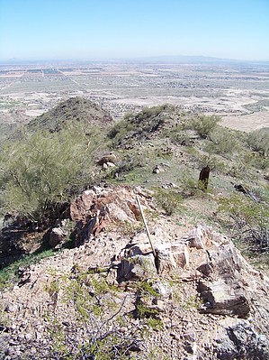
 Overview: This is a small peak located at the southeast corner of the White Tank Mountains. There are trails in the area, but none leading to the top. Overview: This is a small peak located at the southeast corner of the White Tank Mountains. There are trails in the area, but none leading to the top.
Check out the Triplogs. Leave No Trace and +Add a Triplog after your hike to support this local community. One-Way Notice This hike is listed as One-Way. When hiking several trails on a single "hike", log it with a generic name that describes the hike. Then link the trails traveled, check out the example. | |||||||||||||||||||||||||||||||||||||||||||||||||||||||||||||||||||||


