|
tap row or icons for details
|
| Difficulty |
|
1.5 of 5 |
| Distance One Way |
|
6 miles |
| Trailhead Elevation |
|
8,672 feet |
| Accumulated Gain |
|
861 feet |
| Kokopelli Seeds |
|
8.87 |
|
| | |
|
|
14 |
2021-06-16 |
|
|
|
3 |
2013-07-28 | LittleKnee |
|
| |
|
|
list |
map |
done |
Vegas Region |
| | |
|
| |
|
|
Historical Weather |
| Trailhead Forecast | | |
|
 |
|
|
| Preferred Aug, Jul, Jun, Sep |
|
|
| | |
Named Locations Coordinate Links
| |
|
| help future hikers |
| post a gps route now |
| | |
| |
|
|
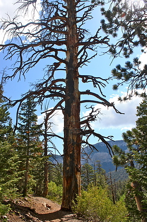
 Overview: Overview: A hike in the Spring Mountains well above the heat of the valley floor. Travel mostly in conifer forests with plenty of britlecone pines on the ridges. Partly on trail, partly on an abandoned 2-track. Suitable for all, unless you choose to walk back along NV 156 to retrieve your car. This is a narrow 2-lane with no shoulders.
One-Way NoticeThis hike is listed as One-Way. When hiking several trails on a single "hike", log it with a generic name that describes the hike. Then link the trails traveled, check out the example. |
 Route Editor


