Route Editor

| Guide | ♦ | 3 Triplogs | 0 Topics |
details | drive | no permit | forecast | map |
stats |
photos | triplogs | topics | location |
| 13 | 3 | 0 |
Canyons are inherently risky. Flash floods occur without notice on sunny days. Technical skills & surrounding topography knowledge required yet does not eliminate risk.
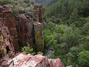
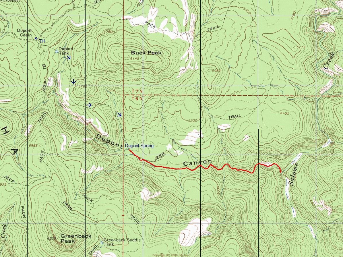
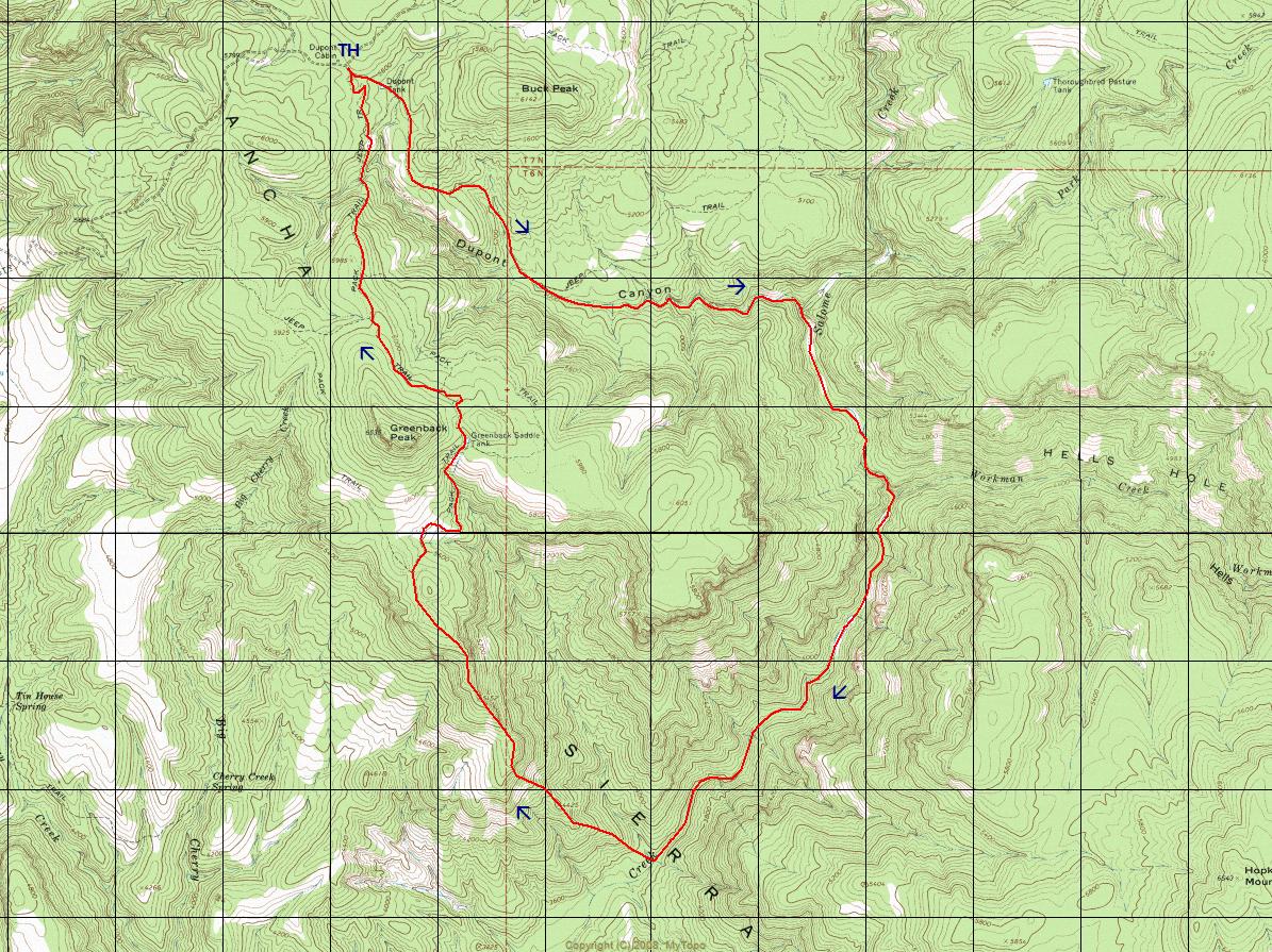
  Overview: Rugged 2B/3B canyoneering route located in a remote region of the Sierra Ancha Mountains. Most 3B obstacles have available game-trail bypasses. Canyon stats from Dupont Spring to Salome Creek are 1.5 miles and -650 vertical feet. Overview: Rugged 2B/3B canyoneering route located in a remote region of the Sierra Ancha Mountains. Most 3B obstacles have available game-trail bypasses. Canyon stats from Dupont Spring to Salome Creek are 1.5 miles and -650 vertical feet.
Check out the Triplogs. Leave No Trace and +Add a Triplog after your canyon trip to support this local community. | ||||||||||||||||||||||||||||||||||||||||||||||||||||||||||||||||||||||||