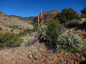
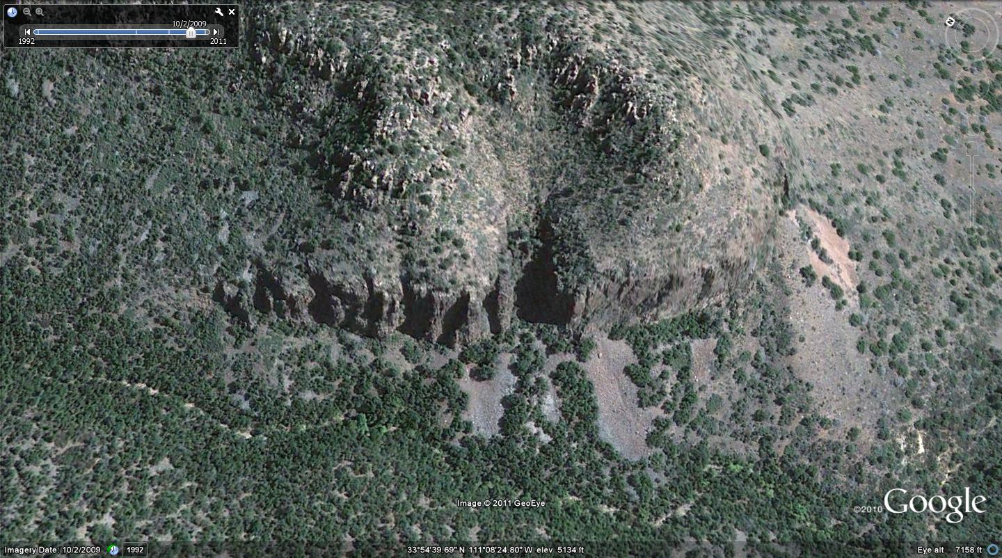
Overview: Diverse backcountry exploration hike with classic Sierra Ancha terrain and ancient Indian ruins. The route is a mix of abandoned road bed, rugged off-trail, and basic canyoneering. Bushwhacking is moderate.
WARNING! Hiking and outdoor related sports can be dangerous. Be responsible and prepare for the trip. Study the area you are entering and plan accordingly. Dress for the current and unexpected weather changes. Take plenty of water. Never go alone. Make an itinerary with your plan(s), route(s), destination(s) and expected return time. Give your itinerary to trusted family and/or friends.
Permit $$
None
Directions
Road
FR / Jeep Road - Car possible when dry
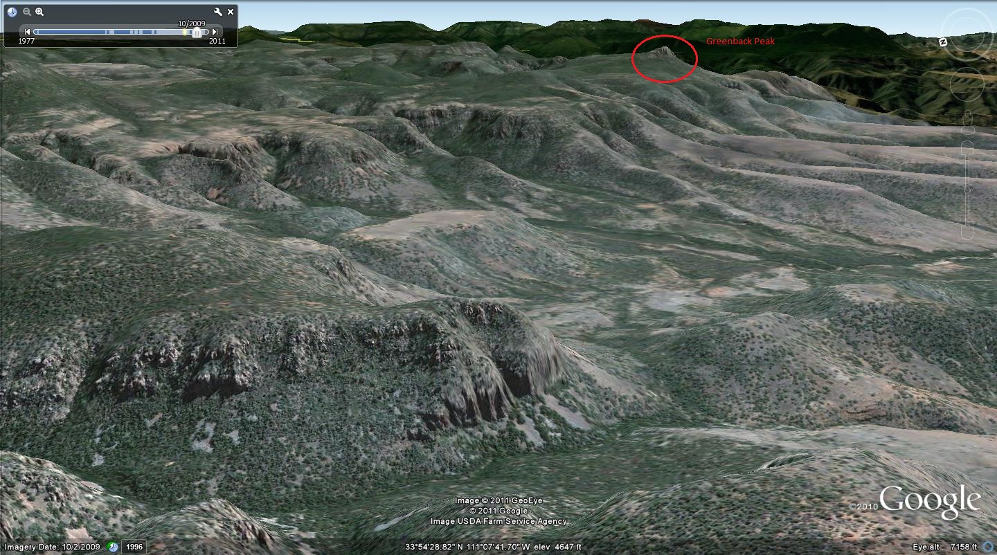
To hike From Punkin Center... FR71 - Greenback Valley - FR236A - Destination (Faint overgrown roadbed leading north)
 Route Editor


 Overview: Diverse backcountry exploration hike with classic Sierra Ancha terrain and ancient Indian ruins. The route is a mix of abandoned road bed, rugged off-trail, and basic canyoneering. Bushwhacking is moderate.