 Route Editor

| Guide | ♦ | 106 Triplogs | 1 Topic |
details | drive | no permit | forecast | route |
stats |
photos | triplogs | topic | location |
| 674 | 106 | 1 |
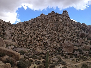
The top of the world (well at least the MSP) ... by paulshikleejr   Notice NoticeOff trail activities within the McDowell Sonoran Preserve are not permitted without the preserve manager's written approval. Otherwise, visitors are required to stay on mapped trails or risk being ticketed by the occasional mountain bike police patrol. Overview This spur trail heads east from Tom's Thumb Trail to the summit of East End Peak. At 4,057 feet, this peak is the highest point in the McDowell Mountains.
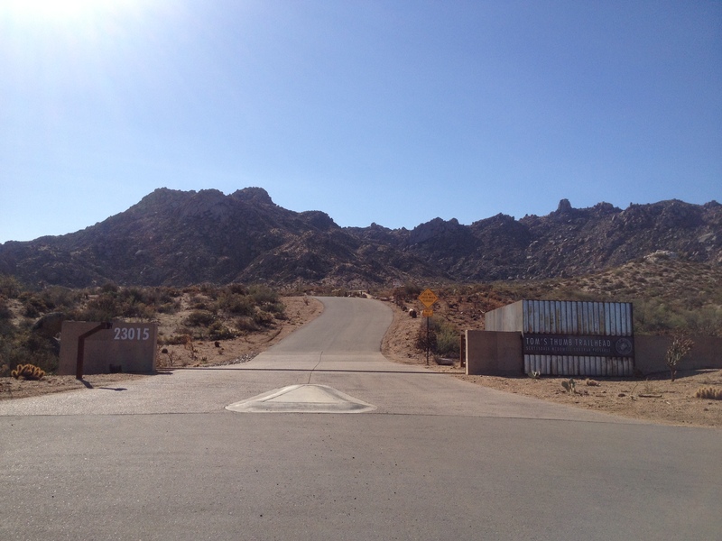
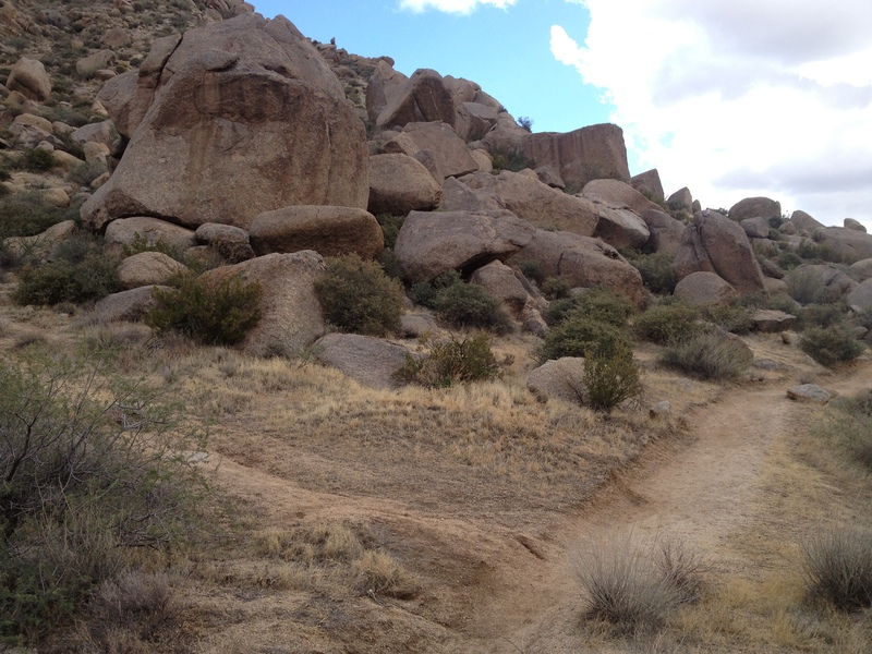
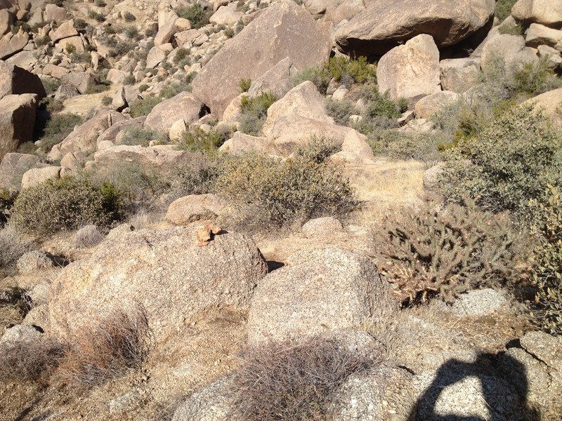
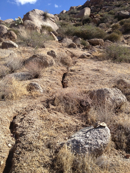
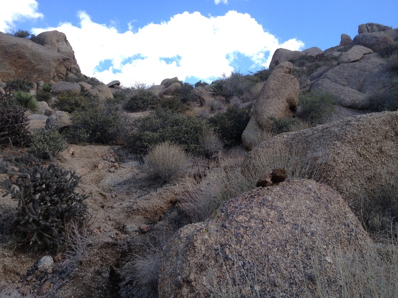
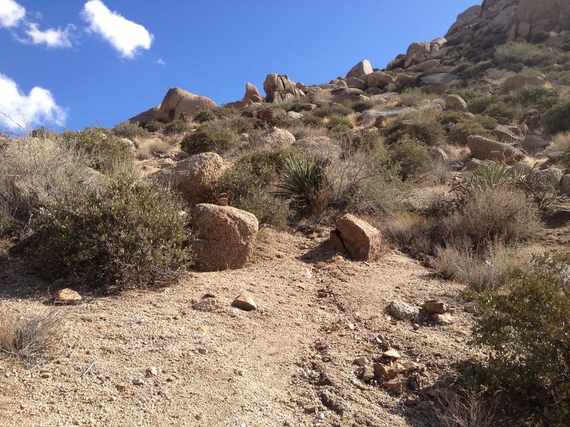
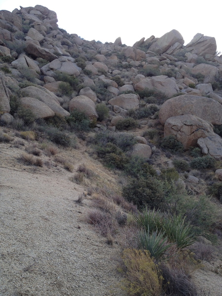
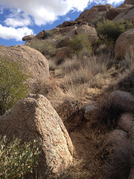
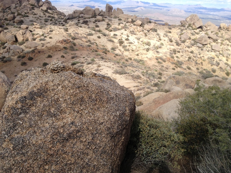
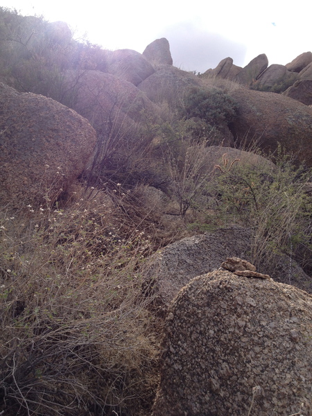
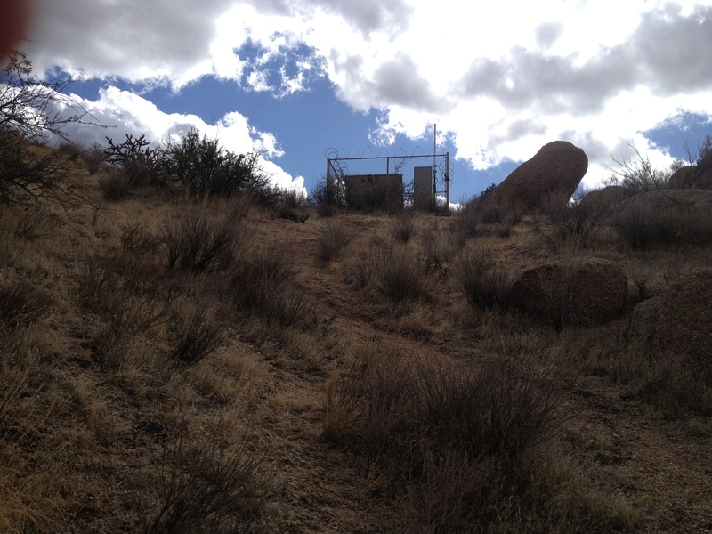
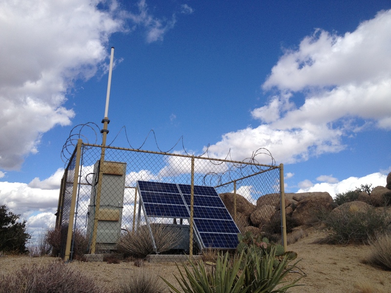
East End Peak is not a developed trail. Portions of the way up described below are somewhat steep and slippery with loose dirt. Use caution and step carefully. Additionally, at times, you may need to find your way around (hopefully not through) flora. Note Because this is an off-trail hike, the GPS route for this hike should be uploaded into a capable GPS unit to guide as to the general course to follow. All of the embedded photos are part of a more extensive photoset called "East End Peak - MSP, AZ Nov 10, 2012." When viewed in photoset mode (compared to when called by links in this guide), most of the pictures have tags on essential elements (such as cairns, which may be hard to see in the photo). Hike Even though this trail is less than three-tenths of a mile in length, it can be broken down into four short sections. To access this short rip to the top, you need to hike 1.39 miles of the Tom's Thumb Trail from the new Tom's Thumb Trailhead. After completing 1.34 miles, as you come around a bend, you'll be able to look forward and down onto the insertion point. As you come to the 1.39 mile mark, the starting point of this hike-to-the-top becomes very apparent. The first 0.13 mile of this hike is best characterized as the "breaking away" leg. You'll understand this as you head up into the brush and rocks away from the popular Tom's Thumb Trail in search of the nebulous start point of the short second "cruising" leg. This first leg's actual route is somewhat open to interpretation and will be based on the conditions on the ground (as compared to specifically what your GPS device is showing). That said, your GPS device will be beneficial in keeping you pointed in the correct direction. And, along the rocky and confused way, you'll hopefully see one or two or three or more cairns to help you through. You'll know that you've made it to the second or "cruising" leg when you see an upward grade relatively free of rocks, large bushes, and trees. This leg is two parts, the 0.05-mile trek up to the ridge and the 0.03-mile saunter across the ridge to the third leg base. Make your way up to the ridgeline and then bear 90? degrees right to look across the ridge to the starting point of the third leg. At the 0.21 mile mark, you'll be up close and personal with the starting point of the third leg, the "climb to heaven." As you look up in the general direction of the "path," you'll see that there isn't a path. However, your GPS unit will generally indicate where you have to go and should be referred to frequently. Take care on this section as there is much somewhat sharp and poky flora and rocks. Some of the rocks aren't as load-worthy as they may appear. Cairns are fewer on this leg, but there are at least one or two. As you make your way up and around, at some point, you'll behold something curious and unexpected. As you reach the 0.28-mile mark and make it to the top, you'll be able to take a close look at the bit of unnaturalness and wonder to yourself, "How did they get that up here?" When you're done musing on the wonders of helicopters, do the mega-short final leg. Turn east and look for the absolute highest point around (about 0.01 mile away). Move your butt up onto the cheeks. Within the crack, you'll find the log book. Relax and look around: you're at the top of East End Peak and king/queen of the world! (Well, at least ruler of the McDowell Sonoran Preserve.) Review the photoset referenced above for a taste of the wonders you'll see. Water Sources None. Camping Camping is not allowed.
Check out the Official Route and Triplogs. Leave No Trace and +Add a Triplog after your hike to support this local community. One-Way Notice This hike is listed as One-Way. When hiking several trails on a single "hike", log it with a generic name that describes the hike. Then link the trails traveled, check out the example. | |||||||||||||||||||||||||||||||||||||||||||||||||||||||||||||||||||||||||||||||||||||||||||||||||||||||||||||||||||||||||||||||||||||||||||||||||||||||||||||||||||||||||||||||||||||||


