 Route Editor

| Guide | ♦ | 21 Triplogs | 0 Topics |
details | drive | no permit | forecast | route |
stats |
photos | triplogs | topics | location |
| 18 | 21 | 0 |
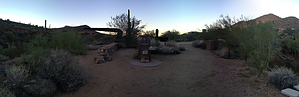
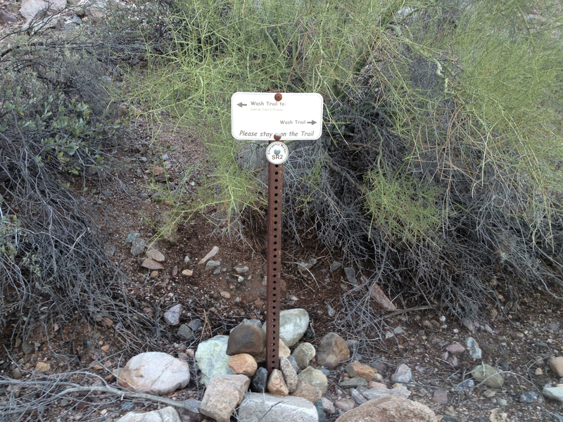
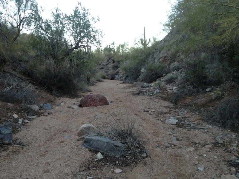
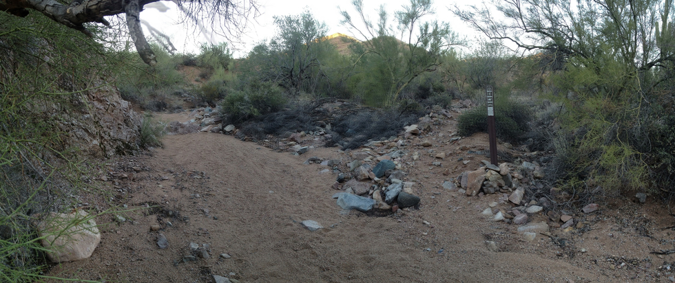
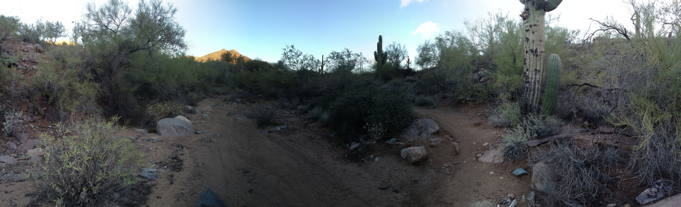
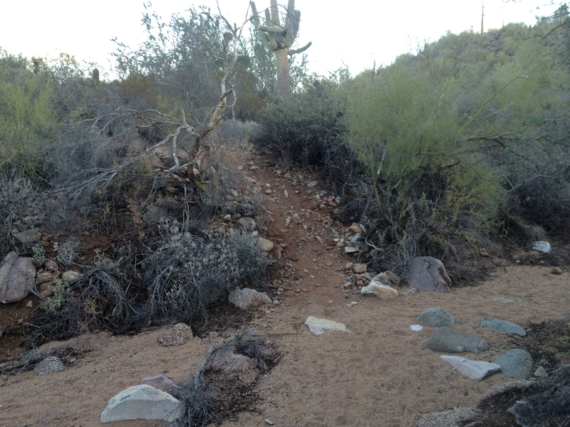
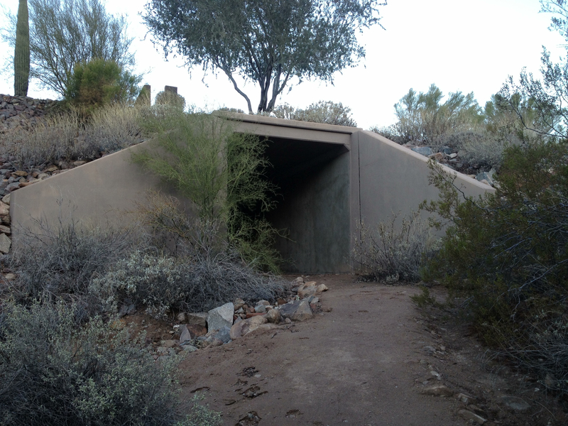
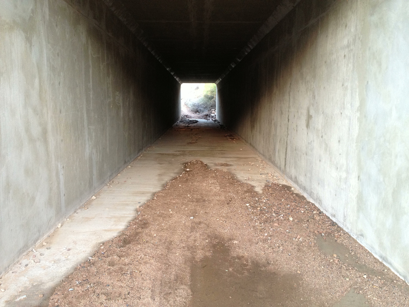
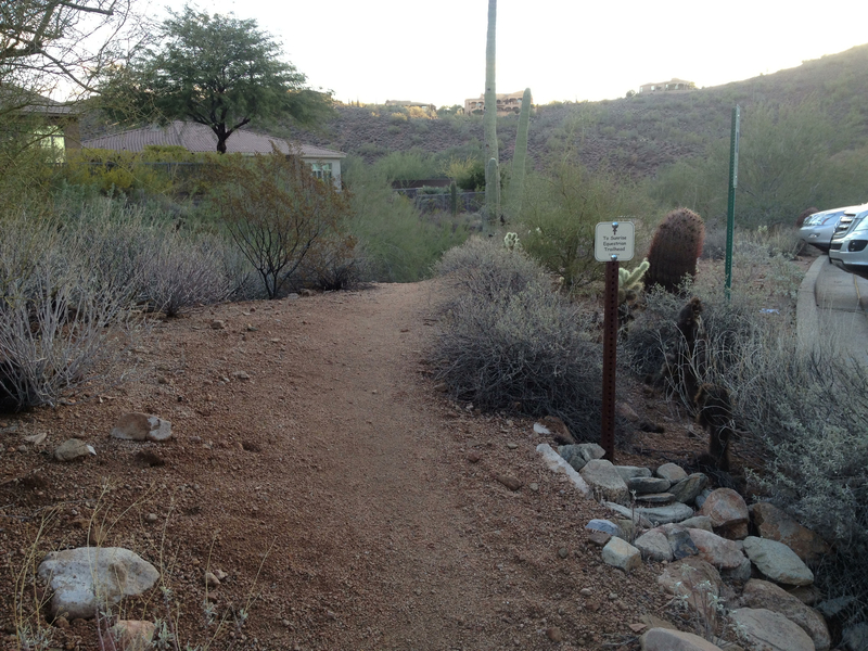
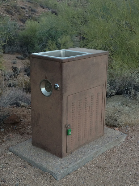
What horses? by paulshikleejr  Overview OverviewThis is the spur route from the equestrian/overflow parking area known as the Sunrise Equestrian Trailhead to the Sunrise Trailhead, proper, to the north. Hike This short trail links the large equestrian/overflow parking area south of the main trailhead to the main Sunrise Trail trailhead and trail. The trailhead facilities include a sitting area, drinking fountains, bike rack, and doggie waste bag dispenser. From the facilities, head down the path onto the trail itself. The majority of this trail is in or next to a creek bed/wash. A short 0.03 mile north from Emergency Marker SR2, you come to the turn-off to the first non-creek bed piece of the trail. You are quickly redirected onto the creek bed after only 0.02 mile and then follow the wash for 0.07 mile until you come to a turn-off marked by a whitish, pocked saguaro. Take this leg to the right and follow it for 0.06 mile until you cross the wash. Head up, and in 0.03 mile, you'll come to the culvert underneath the road. This culvert is a nice looking tunnel. After you emerge from the tunnel, 0.05 mile up the hill is the junction with the Sunrise Trail and the Sunrise Trailhead.
There is a drinking fountain at the trailhead. Camping Camping is not allowed on this trail.
Check out the Official Route and Triplogs. Leave No Trace and +Add a Triplog after your hike to support this local community. One-Way Notice This hike is listed as One-Way. When hiking several trails on a single "hike", log it with a generic name that describes the hike. Then link the trails traveled, check out the example. | ||||||||||||||||||||||||||||||||||||||||||||||||||||||||||||||||||||||||||||||||||||||||||||||||||||||||||||||||||||||||||||||||||||||||||||||||||||||||||||||||||||||||||||||


