Route Editor

| Guide | ♦ | 2 Triplogs | 0 Topics |
details | drive | no permit | forecast | route |
stats |
photos | triplogs | topics | location |
| 35 | 2 | 0 |
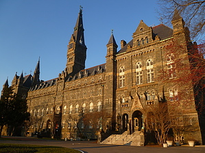
Best be steppin'! by kingsnake  Note that all streets in the District are designated NW, NE, SW and SE, and when referring to location it is important to indicate quadrant. For the rest of this description, the quadrant will always be NW.
Proceed north up the park as the city sounds quickly fade to silence. In a half mile, turn right onto the signed Whitehaven Trail. After a short, steep, climb, continue east, past Whitehaven Community Garden to 37th St. Cross, go up another short, steep climb, then continue east past Holy Rood Cemetery to Wisconsin Ave. You've gone about 2.75 miles. Cross straight across Wisconsin Ave. Just past a few office buildings, turn south into Dumbarton Oaks Park. Continue on the dirt path until you get to the small wood bridge. Turn left, back north, behind the Danish Embassy, to the US Naval Observatory. Turn right onto Whitehaven St, proceeding past a number of smaller embassies (Danish, Polish, etc.). At Massachusetts Ave, turn left proceeding up Embassy Row, past some bigger embassies, and the statue of Winston Churchill. At the entrance to the USNO, cross the street, then return southeast along the opposite side, past the Khalil Gibran memorial, to the foot of Massachusetts Ave, at the Rock Creek Parkway bridge. You've gone about 4.3 miles. Not sure where the best way to get down to the Rock Creek Parkway path is (I went south down Waterside Dr), but get yourself down there. Follow the paved foot/bike path until you see the Watergate Hotel. Side note: Rock Creek Parkway has great scenery on weekend mornings!    You've gone about 6.0 miles. You've gone about 6.0 miles.Cross Rock Creek, proceeding west along the Potomac River walk. There are a number of historical markers, consisting of photos etched in granite, to enjoy. Just short of the Key Bridge, turn right up a small side street, across a pedestrian bridge, to the Francis Scott Key memorial. Cross back over the bridge, then proceed east along the C&O Canal pathway to the next pedestrian bridge. Cross it, then proceed up 33rd St to M St. From there, return to your start point. You've gone about 7.1 miles. Check out the Official Route and Triplogs. Leave No Trace and +Add a Triplog after your walk/tour to support this local community. | ||||||||||||||||||||||||||||||||||||||||||||||||||||||||||||||||||||||||||||||