 Route Editor

| Guide | ♦ | 18 Triplogs | 1 Topic |
details | drive | permit | forecast | map |
stats |
photos | triplogs | topic | location |
| 156 | 18 | 1 |
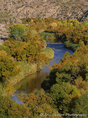
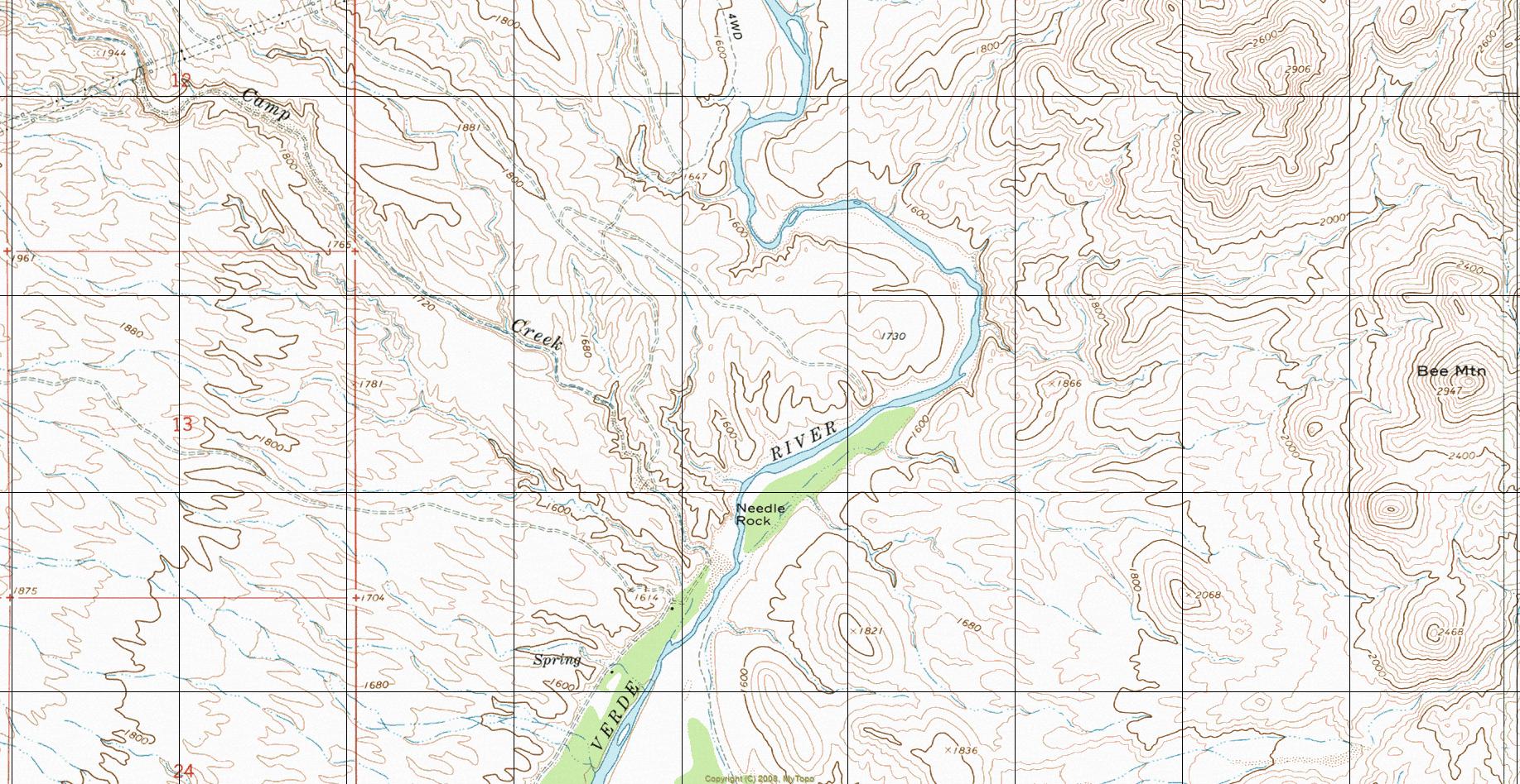
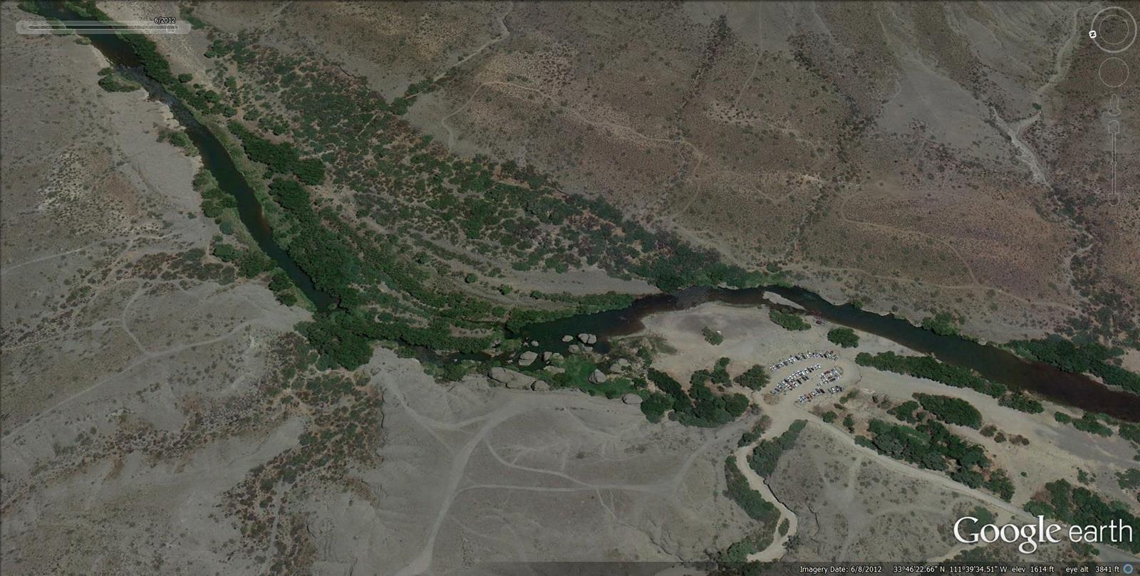
Thread the Rock by HAZ_Hikebot  Needle Rock Recreation Area is a unique and highly scenic segment of the lower Verde River below Bartlett Lake. Needle Rock Recreation Area is a fee-based day-use only site. Overnight camping is not permitted. Facilities consist of a general parking area, picnic areas with grills, trash service, and vault toilets. Recreation activities consist of riparian river hiking, swimming, fishing, and bird watching. This area is known for bald eagle and great blue heron nesting. Needle Rock Recreation Area is a unique and highly scenic segment of the lower Verde River below Bartlett Lake. Needle Rock Recreation Area is a fee-based day-use only site. Overnight camping is not permitted. Facilities consist of a general parking area, picnic areas with grills, trash service, and vault toilets. Recreation activities consist of riparian river hiking, swimming, fishing, and bird watching. This area is known for bald eagle and great blue heron nesting.Fees Tonto Pass
Tonto FS Details The beach on the Verde River is generally rocky but attracts many people during the hot summer months. The area is noted for its unusual rock formations. Nearby is a protected riparian area, the Mesquite Bosque. This popular water recreation area attracts many people trying to escape the Arizona summer heat. The rocky beach area is surrounded by beautiful towering rock formations. Near the recreation site is a fenced unique biological area, a stand of mesquite. Bald Eagles and Great Blue Herons are frequently seen in this vicinity. Check out the Triplogs. Leave No Trace and +Add a Triplog after your hike to support this local community. One-Way Notice This hike is listed as One-Way. When hiking several trails on a single "hike", log it with a generic name that describes the hike. Then link the trails traveled, check out the example. | ||||||||||||||||||||||||||||||||||||||||||||||||||||||||||||||


