 Route Editor

| Guide | ♦ | 15 Triplogs | 0 Topics |
details | drive | no permit | forecast | route |
stats |
photos | triplogs | topics | location |
| 46 | 15 | 0 |
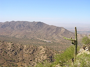
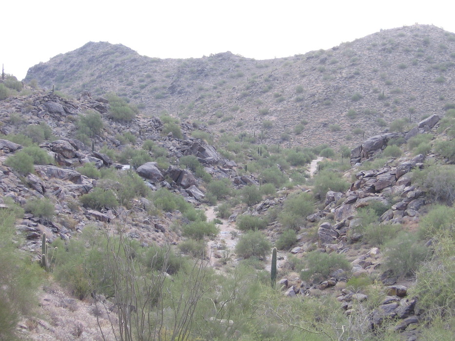
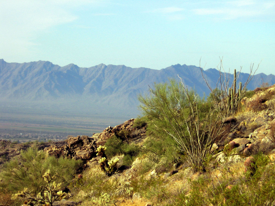
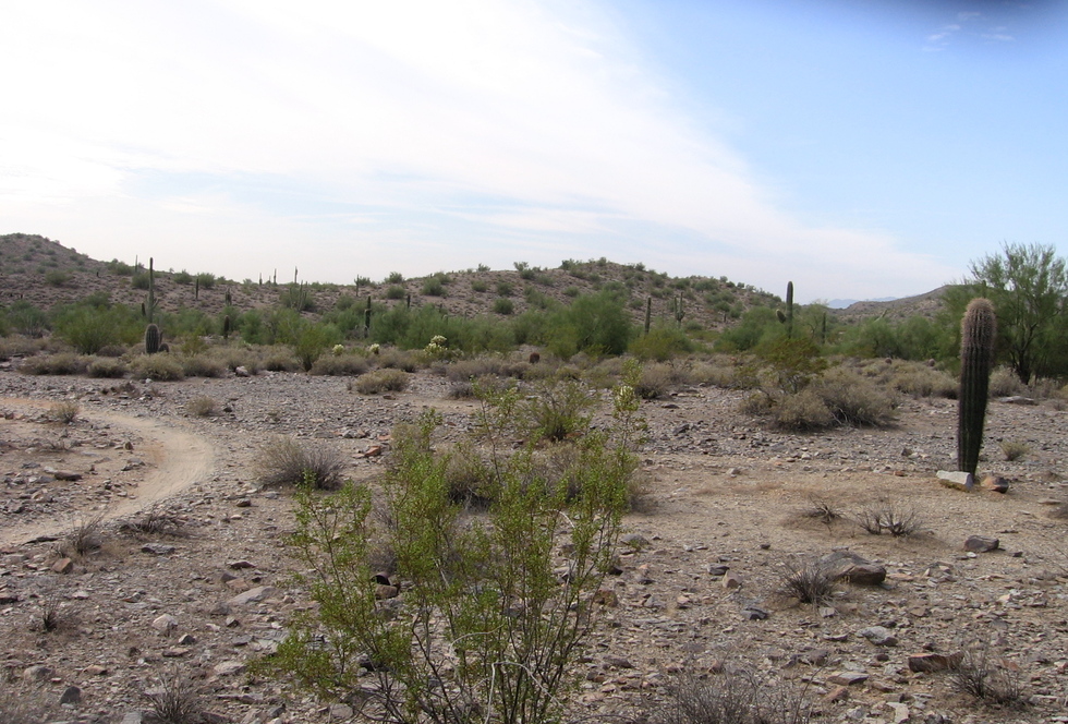
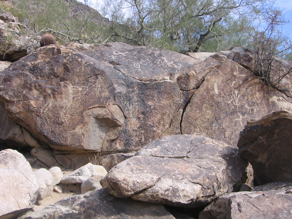
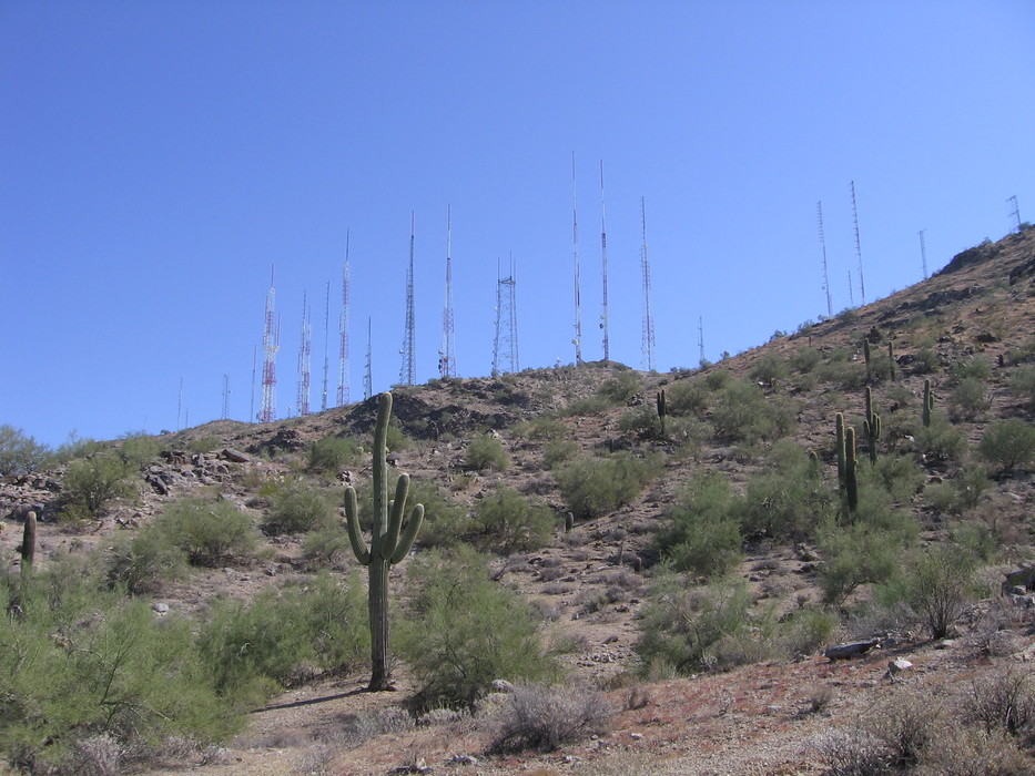
A Tour around the Towers by azdesertfather  OK, so I'm a loop junkie. I seldom like to do the same hike more than once, and if I can do a loop and avoid seeing the same trail on the way back, all the better! For those of you who are like me, here is a loop just under 10 miles at South Mountain Park/Preserve that can give you a tour around the famous towers, over a mountain, through some washes, and past a discovered set of Hohokam petroglyphs. OK, so I'm a loop junkie. I seldom like to do the same hike more than once, and if I can do a loop and avoid seeing the same trail on the way back, all the better! For those of you who are like me, here is a loop just under 10 miles at South Mountain Park/Preserve that can give you a tour around the famous towers, over a mountain, through some washes, and past a discovered set of Hohokam petroglyphs.This loop starts and ends from the Buena Vista lookout and comprises parts or all of the Corona de Loma, Desert Classic, Telegraph Pass, and the National trails.
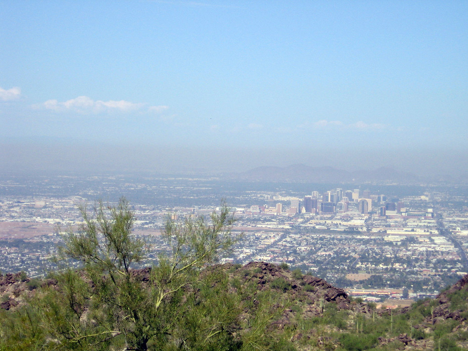
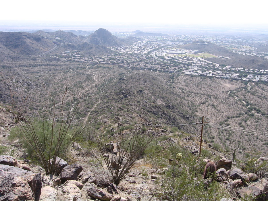
Corona de Loma Trail: 2.4 miles Desert Classic Trail: 3.7 miles Telegraph Pass Trail: 0.8 miles National Trail: 2.6 miles Hike: This trail is pretty easy, although there are a few spots that can be confusing as they are not marked. I started this trip by heading down the Corona de Loma Trail since it had a steeper slope. Heading down the road a bit, on the left the trail descends the ridge and into a wash. The trail follows the wash a little way, and then a trail leads out of the wash to the left. It then crosses the wash in a few yards before heading back up in elevation toward the trail's high point. Upon arriving at the peak there are nice views to the south and west. At this viewpoint, don't lose your trail by thinking you're heading straight down. Actually, at this GPS point just before the best viewpoint, the trail heads off to the left, away from the towers. There are a couple of switchbacks as you descend the mountain. Once you're off the mountain, there are some choices, but the choice you'll want to make is to get from the Corona de Loma Trail onto the Desert Classic Trail. There is one point along the way where there is a small trail turnoff to the right, with a single saguaro cactus nearby. This trail is not the Desert Classic; you are actually on Corona de Loma for 2.4 miles. Keep following the more substantial trail toward the south until you reach a metal post that has "Corona de Loma" written on it pointing back the way you came. You then take a right at this Y...you are now on Desert Classic. The Desert Classic is a popular biker trail, so be forewarned! Once you are on Desert Classic, you continue going west for the most part in the valley there, and after about three miles you will come to the park's southern boundary, with houses butted up right against that boundary. Follow it for nearly a half-mile. The trail will then angle to the northwest and end up at an intersection marking Telegraph Pass Trail's beginning. About halfway into the Telegraph Pass Trail, you will see a small turnoff to your right that goes for a couple hundred yards or so to a fenced area. There is a sign there as well, marking the Hohokam petroglyphs which were made at least 600 years ago. Once you make it up this trail to Telegraph Pass you meet up with National Trail. Take National Trail East; it will follow the Summit Road for about 3/4 mile before heading east and giving you a nice view of downtown Phoenix and your clearest view of the towers. This trail, after crossing the road to the Gila Valley Lookout, takes you back to Summit Road just before Buena Vista Lookout. If you want a more challenging shortcut, there is one about 6 1/4 miles into the hike. Just as you reach the park boundary on Desert Classic Trail, there will be another trail that leads you north into a wash. If you continue taking this trail, it will lead you back up the mountain, paralleling some power lines. The trail is a bit steeper than Telegraph Pass (so there is a bit of additional leg burn involved), but the trail is pretty well marked until a point just before 2000 feet in elevation when the path crosses the path of the power lines (which then take a turn to the northwest). The path fades out here, and the last 1/4 mile or so will be scrambling off-trail to the Gila Valley Lookout. Once you reach the lookout, you can follow the road until it crosses the National Trail and take the National Trail the last 0.7 miles back to the Buena Vista Lookout. Check out the Official Route and Triplogs. Leave No Trace and +Add a Triplog after your hike to support this local community. | ||||||||||||||||||||||||||||||||||||||||||||||||||||||||||||||||||||||||||||||||||||||||


