 Route Editor

| Guide | ♦ | 3 Triplogs | 0 Topics |
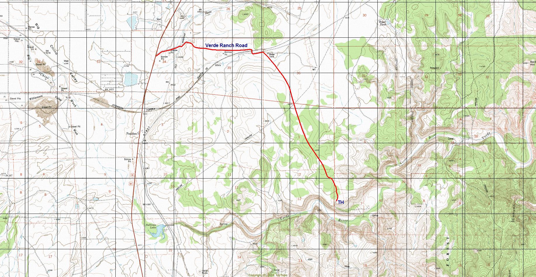
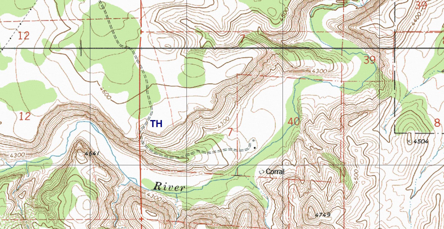
details | drive | no permit | forecast | map |
stats |
photos | triplogs | topics | location |
| 5 | 3 | 0 |
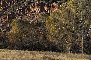
Outdoorsy Green Snobs Rejoice by HAZ_Hikebot   Overview Overview1,100 acre protected wetlands wildlife habitat area located at the headwaters of the Verde River. The land is owned and managed by the Arizona Game & Fish. Wildlife Area Rules No motorized vehicle travel; No open fires; No firewood cutting or gathering; No camping; No discharge of firearms within a one-mile radius of the parking area; Dogs must remain on leash except for hunting; Do not chase, harass, or feed wildlife; Pack out all trash
Check out the Triplogs. Leave No Trace and +Add a Triplog after your hike to support this local community. One-Way Notice This hike is listed as One-Way. When hiking several trails on a single "hike", log it with a generic name that describes the hike. Then link the trails traveled, check out the example. | ||||||||||||||||||||||||||||||||||||||||||||||||||||||||||


