Route Editor

| Guide | ♦ | 5 Triplogs | 1 Topic |
details | drive | permit | forecast | map |
stats |
photos | triplogs | topic | location |
| 5 | 5 | 1 |
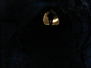
  Overview OverviewThis hike was a combination of hiking jeep trails and bushwhack in the exploring of the many mines on mineral mountain. There are still several prospectors working the area-BEWARE ! Check out the Triplogs. Leave No Trace and +Add a Triplog after your hike to support this local community. | |||||||||||||||||||||||||||||||||||||||||||||||||||||||||||||||||||||