 Route Editor

| Guide | ♦ | 2 Triplogs | 3 Topics |
details | drive | permit | forecast | map |
stats |
photos | triplogs | topics | location |
| 18 | 2 | 3 |
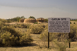
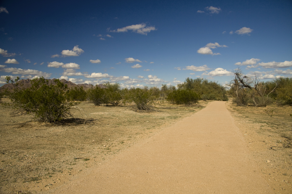
Hohokam platforms at the crossroads! by Randal_Schulhauser  Notice NoticeIf the site is closed, do not jump fences or enter illegally. Do not contact HAZ on this listing, contact the author. Employees of the city of Gila Bend claim there is false information on this page. History Back in the 1950s in an area just north of Gila Bend where Slick Gatlin was running cows, the locals could always count on finding projectile points or pot sherds whenever the mood struck to go Indian artifact hunting. Bring a shovel along and you might even unearth a complete pot or some bone fragments. It wasn't uncommon in the 1950s to find extensive private collections of ancient artifacts in the homes of some Gila Bend residents. So it was in Arizona prior to the Archaeological Resources Protection Act of 1979...
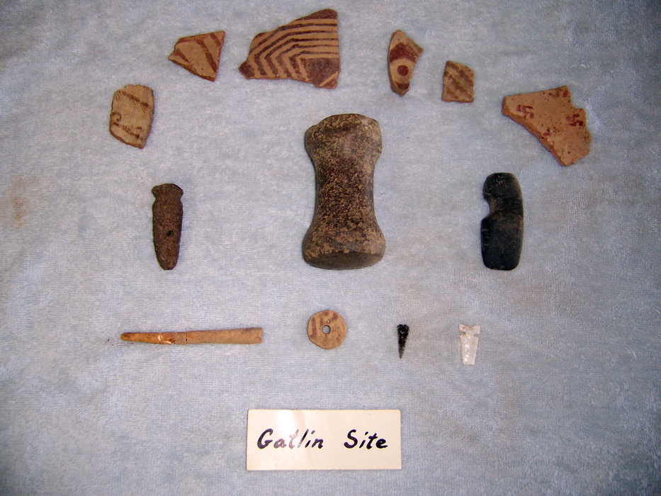
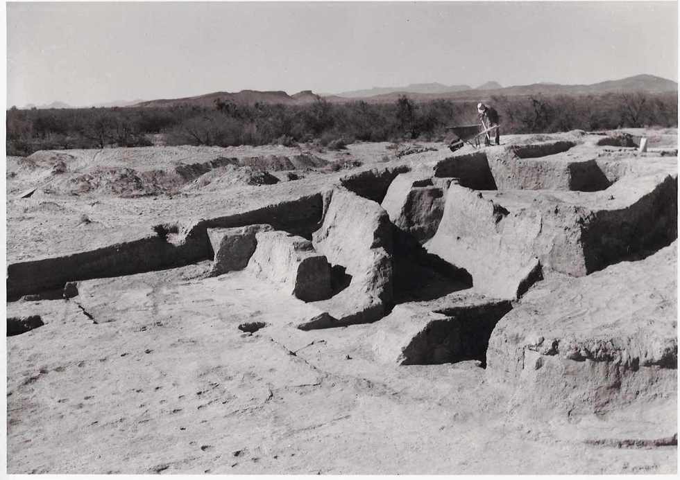
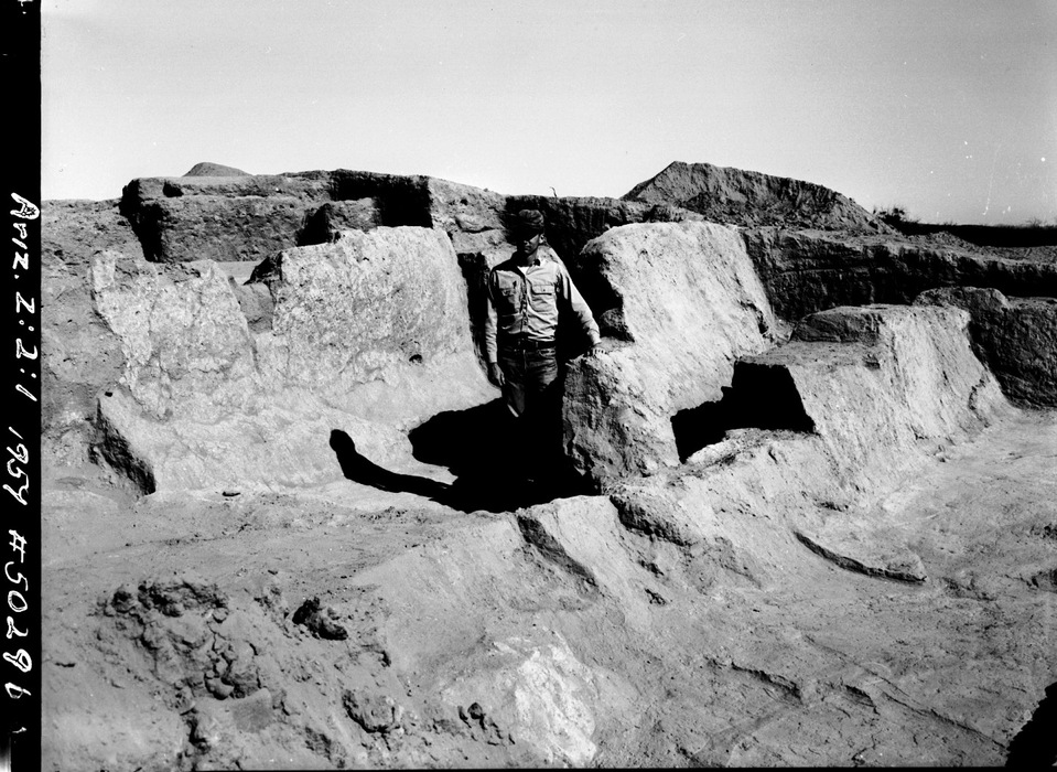
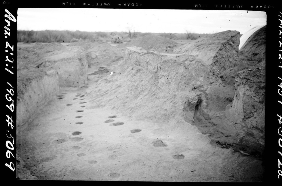
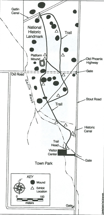
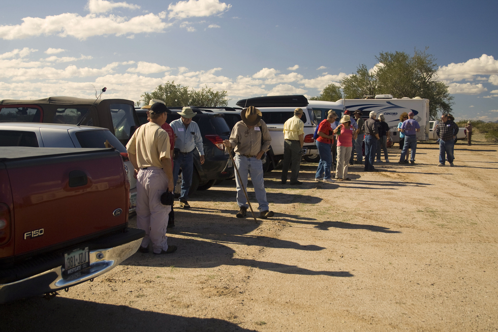
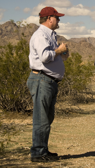
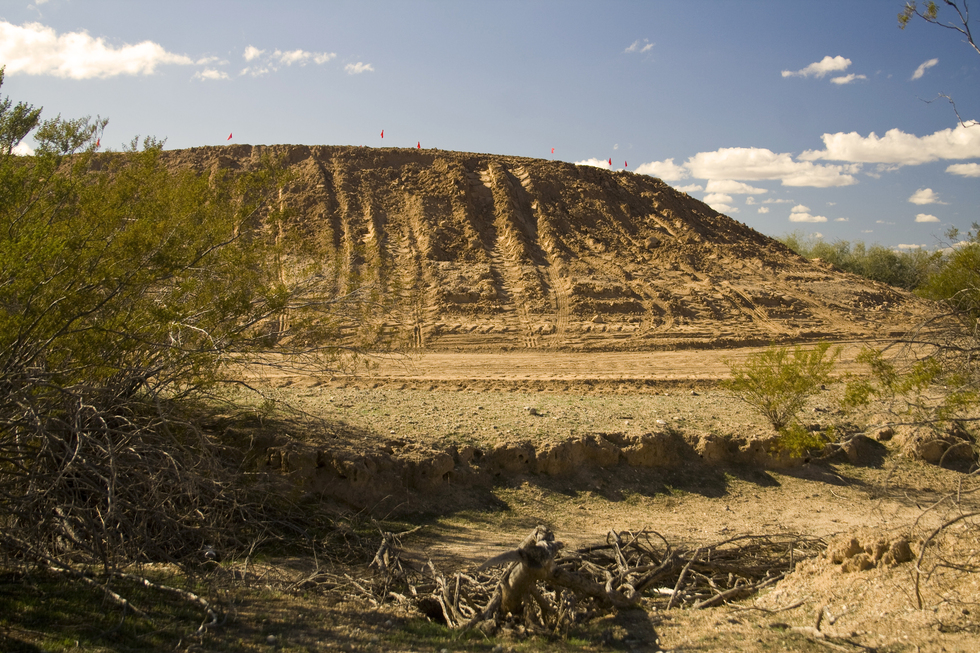
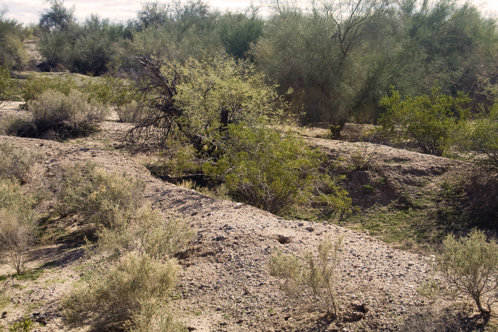
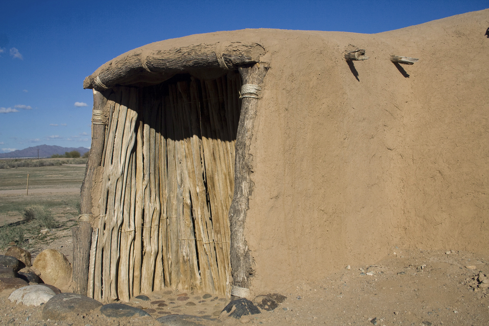
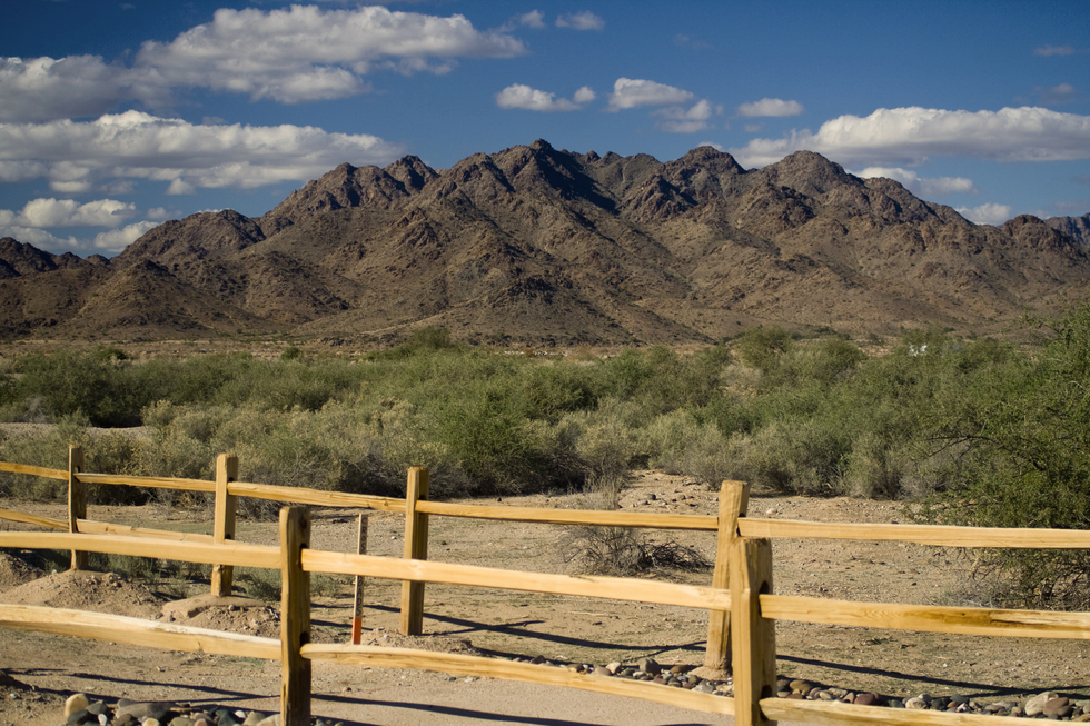
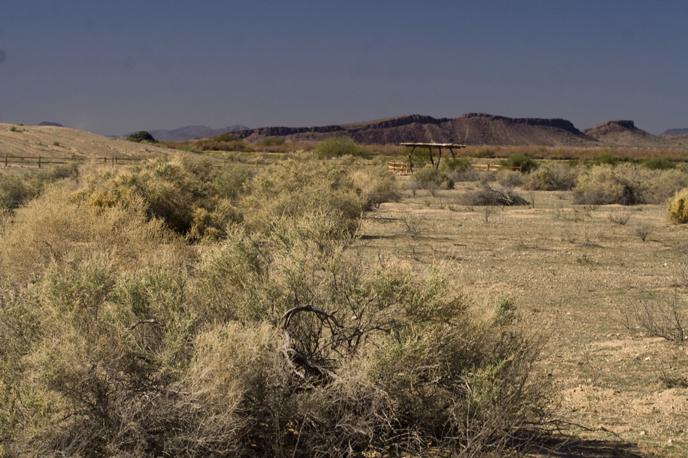
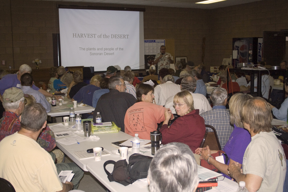
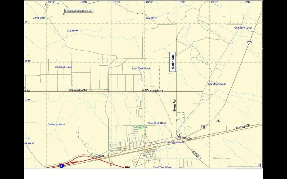
Wasley and Johnson published their report in 1965 detailing the Gila Bend region as a distinctive variant of Hohokam culture. Between 800 AD and 1200 AD, the Gatlin Site was the center of an important Hohokam farming and manufacturing community. Situated at the crossroads of the east-west transportation corridor along the Gila River and the north-south salt route from Phoenix to the Sea of Cortez, it was also an important trading center. The Gatlin Site was the largest community in the area, home to over 500 people. The presence of two ceremonial ball courts and one of the earliest platform mounds confirms the community prominence. Some of the artifacts unearthed including rare copper bells, stone mirrors, macaw feathers, and marine shells indicate trade with Mesoamerica to the south whereas Kayenta polychrome indicates trade with the north. Despite the 1964 designation as a National Historic Landmark, the Gatlin Site lay in disuse until the early 1990's when the Town of Gila Bend in cooperation with the Agua Fria Chapter of the Arizona Archeological Society began to rehabilitate the site with a vision to make it a public park. Dr. David Doyel was lured away from Pueblo Grande in Phoenix to lead this venture. Operating on a shoe-string budget, but supported by a fanatical base of patrons and volunteer workers, the vision of transforming the Gatlin Site into a historic public cultural park is close to a realization... Hike Look for the gated south entrance along Stout Road. Starting from the south parking lot near the visitor's center, we gather to meet our guide, site archeologist, Dr. David Doyel. Dr. Doyel welcomes the group and begins to explain the significance of this site and his vision of a public archeological park along the lines of Pueblo Grande or Casa Grande. Our first stop along the interpretive trail is the 1960 Wasley and Johnson platform mound excavation site. Dr. Doyel explains that the excavations were buried in the early 1960s and recent work by site volunteers has focused on stabilizing the platform mound leaving much of it undisturbed for a future generation. It's Dr. Doyel's opinion that until the archaeological park has about $0.5M available to "Do it Right", it should remain undisturbed. Continuing north along the interpretive trail, a spur to the east offers a view of the remains of an ancient irrigation canal. Dr. Doyel says that the presence of multiple irrigation canals confirms the importance of farming to this Hohokam community. The next series of stops highlight the transportation crossroads at the Gatlin Site - ancient trade routes, Gila Pioneer Trail, the Butterfield Stage Route, and the Old Phoenix Highway. All of these traversed the grounds of the Gatlin Site... The interpretive trail winds its way between platform mounds and the reconstruction of some ancient pit houses. Many monochrome pottery sherds are noted beside the trail. At the trails northern terminus near the Gila River, views of Fortaleza Ruins Site can be seen to the west. Summary We started the day with an interesting lunchtime lecture by Dr. Dave Morris at the Gila Bend Community Center. We ended the day back at the Community Center with a comprehensive dinner time lecture by Dr. David Doyel on the "Archeology of the Gila Bend Frontier". In between, we toured the "soon-to-open" Gatlin Site with the site archeologist viewing the ruins of a Hohokam Indian village and platform mound dated approximately 1000 A.D. A new round of site development began in 2004 when the Town of Gila Bend was awarded an Arizona State Parks Heritage Fund Matching Grant allowing construction of a 6,772-foot interpretive trail that winds its way through the site. This 110-acre site is a labor of love for the many volunteers. Their dream of an archaeological park and desert botanical gardens for public visitation is close to realization. Enjoy! 2009-11-02 Note From Page 7 of the November 2009 issue of "The Petroglyph", the monthly newsletter of the Arizona Archaeological Society: Due to changes in the makeup of the city government of Gila Bend, the Agua Fria Chapter will no longer be associated with the work at the Gatlin Site. After 16 years of toil, sweat, time, and money, Roy and Ella Pierpoint are no longer the driving force behind the project and as a result, our advisor, Dr. Dave Doyel, and the Chapter "laborers" have withdrawn their support. We with the town of Gila Bend the best as they search for a "better" way to conduct the work at the site. Check out the Triplogs. Leave No Trace and +Add a Triplog after your hike to support this local community. | ||||||||||||||||||||||||||||||||||||||||||||||||||||||||||||||||||||||||||||||||||||||


