tap row or icons for details
Distance One Way
4 miles
Trailhead Elevation
2,398 feet
Elevation Gain
296 feet
Accumulated Gain
487 feet
Kokopelli Seeds
5.62
unreported if dogs are allowededit edit > ops > dogs
Inaugural Calculation on Button Tap!
86
2025-12-14
Picketpost Circumference
DesertNymph
22
2025-11-01
Arnett-Telegraph-Perlite Explore
ddgrunning
15
2025-01-13
Picketpost Circumnavigation
DesertNymph
14
2024-12-29 Vashti
12
2023-12-02
Picketpost Circumference
ddgrunning
30
2023-11-29
Arnett Creek - Canyon
LosDosSloFolks
12
2023-11-12
Arnett Creek - Canyon
Vashti
15
2023-06-11
Picketpost Mountain Summit
johnlp
Page 1 , 2 , 3 , 4
list
map
done
Globe Region
Historical Weather
Trailhead Forecast Radar Map
Preferred Mar, Nov, Feb, Apr
Named Locations Coordinate Links
LOST - Arnett Canyon Segment
Official Route HAZ_Hikebot
3.95 mi
LOST - Arnett Canyon Segment
6.61 mi
LOST - Arnett Canyon Segment
9.36 mi
LOST - Arnett Canyon Segment
6.93 mi
LOST - Arnett Canyon Segment
5.75 mi
LOST - Arnett Canyon Segment
10.1 mi
LOST - Arnett Canyon Segment
10.43 mi
LOST - Arnett Canyon Segment
2021-03-13
jillyonanadventure
3.93 mi
LOST - Arnett Canyon Segment
6.86 mi
LOST - Arnett Canyon Segment
3.47 mi
Picketpost Circumference
13.23 mi
Arnett-Telegraph-Perlite Explore
11.15 mi
Picketpost Mountain Summit
4.81 mi
Picketpost Circumnavigation
9.14 mi
Arnett Creek - Canyon
9.8 mi
Picketpost Mnt Circumnavigate
9.04 mi
Arnett Canyon hike
7.37 mi
Picketpost Circumference
14.8 mi
Arnett Creek - Canyon
2023-11-29
LosDosSloFolks
7.22 mi
Arnett Creek - Canyon
6.84 mi
Picketpost Circumference
8.68 mi
Picketpost Circumference
8.95 mi
LOST - Queen Creek Canyon Segment
2023-03-19
Tortoise_Hiker
10.22 mi
Picketpost Circumference
9.66 mi
Arnett Creek - Canyon
2022-11-28
LosDosSloFolks
7.01 mi
Arnett Creek - Canyon
7.38 mi
Picketpost Mountain Summit
4.82 mi
Arnett canyon and Telegraph canyon
2022-02-20
Frostshocknoob
8.79 mi
Picketpost Mountain Summit
4.46 mi
LOST - Pinal City Panther Segment
10.35 mi
Picketpost Circumference
10.62 mi
Picketpost Circumference
8.57 mi
Arnett Creek - Canyon
6.87 mi
Rally 'round Picketpost
18.16 mi
Rally 'round Picketpost
18.83 mi
Historic Fire Perimeters acres 🔥 2021 Telegraph Fire 266.7 mi** 🔥 2011 Picket Fire 9.0 mi* 🔥 View (All) - over Official Route 🔥 *perimeter length in miles **possible voids inflate figure
LOST ( Legends of Superior Trail )
Picketpost Trailhead to Perlite Road
Happy
Trails!
area related
One-Way Notice This hike is listed as One-Way.
When hiking several trails on a single "hike", log it with a generic name that describes the hike. Then link the trails traveled, check out the
example .
 Route Editor


 LOST ( Legends of Superior Trail )
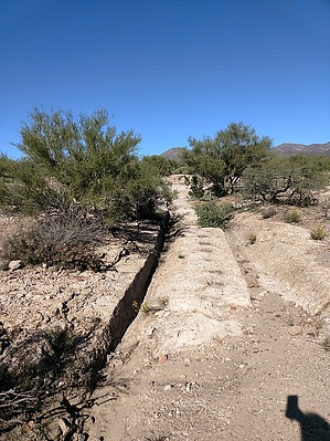


