 Route Editor

| Guide | ♦ | 4 Triplogs | 0 Topics |
details | drive | permit | forecast | route |
stats |
photos | triplogs | topics | location |
| 5 | 4 | 0 |
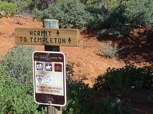
At least it is useful by HAZardous   Overview OverviewNot to be confused with the Grand Canyon trail, this is arguably one of the worst trails in the Sedona area, with traffic noise from SR-179 and limited views. None the less, it performs the vital function of connecting the Yavapai Point trailhead with the Templeton trail, right at the Templeton tunnel under southbound 179. At least it is short. Hike This trail follows and crosses washes through typical Sedona vegetation, including juniper, scrub oak, manzanita, prickly pear, and yucca. The view to the east is blocked by the elevated highway. Generally, you are hiking down in washes, so the view to the west sucks as well, though the Transept shows through occasionally. A nice view of Bell Rock pops up over the asphalt at the end of the trail if southbound. The trail is well marked, well maintained, and easy to follow.
Indeed not a destination trail but documented here, so the GPS track you need for your loop plan has a home.
Check out the Official Route and Triplogs. Leave No Trace and +Add a Triplog after your hike to support this local community. One-Way Notice This hike is listed as One-Way. When hiking several trails on a single "hike", log it with a generic name that describes the hike. Then link the trails traveled, check out the example. | |||||||||||||||||||||||||||||||||||||||||||||||||||||||||||||||||||||||||||||||||||||||||


