 Route Editor

| Guide | ♦ | 3 Triplogs | 1 Topic |
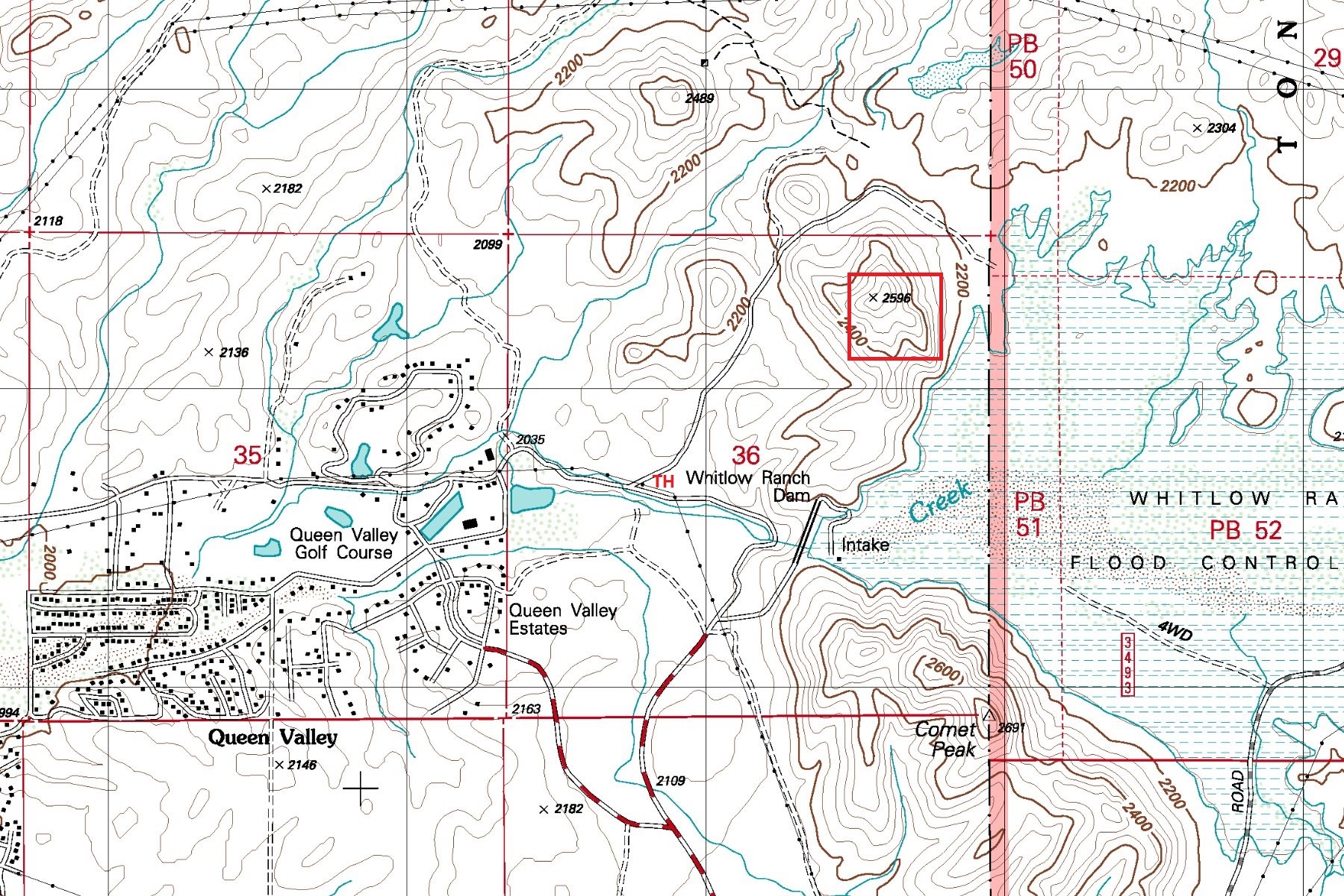
details | drive | permit | forecast | map |
stats |
photos | triplogs | topic | location |
| 78 | 3 | 1 |
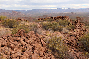
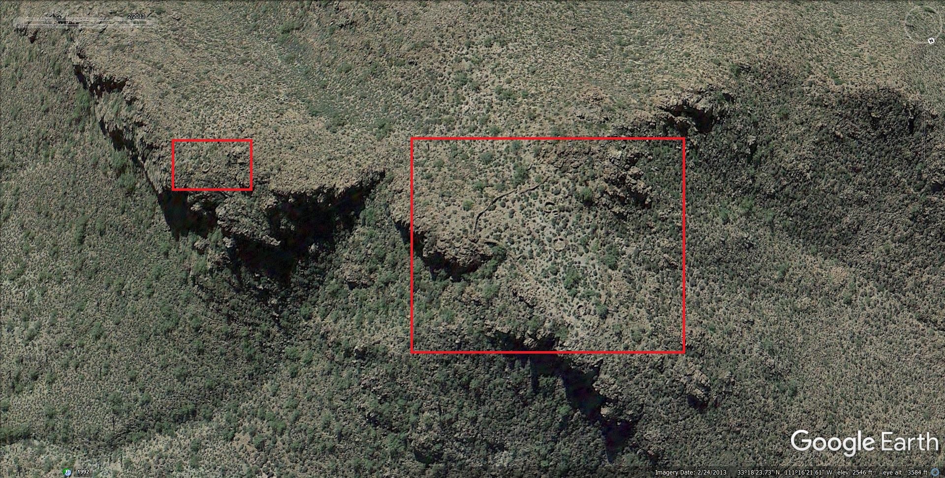
 Large scenic mountaintop Indian ruin site located high above Queen Valley. A great destination for those with a love for ancient Indian history and off-trail adventure. The hike is a short mildly rugged off-trail route with minimal bushwhack. Large scenic mountaintop Indian ruin site located high above Queen Valley. A great destination for those with a love for ancient Indian history and off-trail adventure. The hike is a short mildly rugged off-trail route with minimal bushwhack.
Check out the Triplogs. Leave No Trace and +Add a Triplog after your hike to support this local community. One-Way Notice This hike is listed as One-Way. When hiking several trails on a single "hike", log it with a generic name that describes the hike. Then link the trails traveled, check out the example. | ||||||||||||||||||||||||||||||||||||||||||||||||||||||||||||||||||


