|
tap row or icons for details
|
| Difficulty |
|
3 of 5 |
| Route Finding |
|
3 of 5 |
| Distance Round Trip |
|
7.5 miles |
| Trailhead Elevation |
|
2,415 feet |
| Elevation Gain |
|
350 feet |
| Accumulated Gain |
|
400 feet |
| Kokopelli Seeds |
|
9.5 |
| Interest Off-Trail Hiking, Ruins & Historic | |
| | |
|
|
20 |
2020-10-24 | cw50must |
|
|
20 |
2018-01-30 | AZLOT69 |
|
| |
|
|
|
list |
map |
done |
Globe Region |
| | |
|
| |
|
|
Historical Weather |
| Trailhead Forecast | | |
|
 |
|
|
| Preferred Mar, Nov, Feb, Jan |
|
|
| | |
| |
Named Locations Coordinate Links
| |
|
| help future hikers |
| post a gps route now |
| | |
| |
|
|
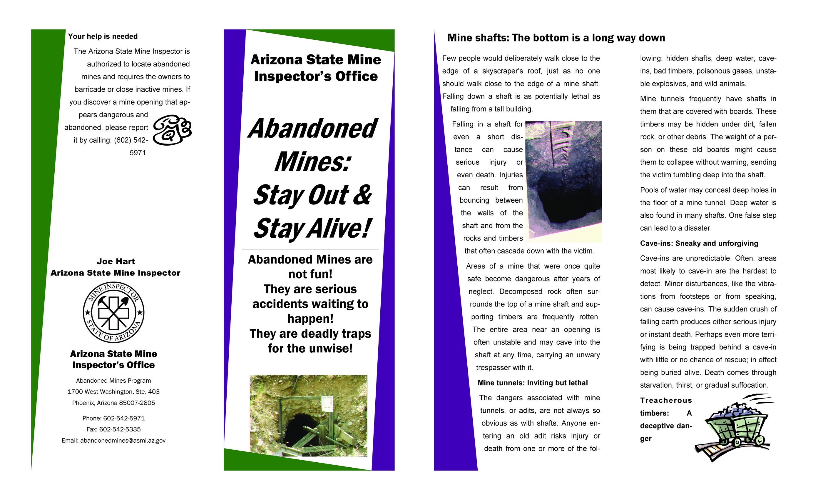
Abandoned Mine Safety
Page 1 | Page 2
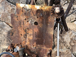
Woodpecker Mine Trail can be a hike or off-road vehicle if you have a capable vehicle. Rock crawlers use this canyon. There are alternatives around some of the early obstacles but not later in the trail. Petroglyphs can be spotted along the way along with spectacular mature desert plants. The western Woodpecker mine is being worked as of this writing (no trespassing). Continue in the wash to where a road diverts out of the wash. This is marked by a parts sculpture of machines wrecked in the wash and marks the trailhead to the "Highway To Hell. " Watch for remains of an old stone house with a fireplace on your left. The trail rises to the Woodpecker Mine remains. Several open shafts line the hills. Continue down the trail to the Ajax mine trail, turn right and return to the Woodpecker Trailhead to complete your trip.
|
 Route Editor


