 Route Editor

| Guide | ♦ | 68 Triplogs | 3 Topics |
details | drive | no permit | forecast | 🔥 route |
stats |
photos | triplogs | topics | location |
| 591 | 68 | 3 |
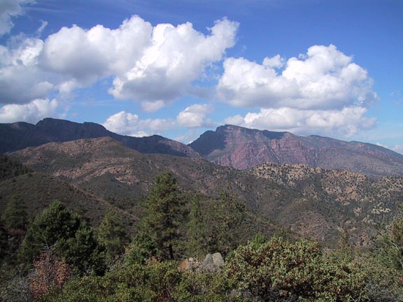
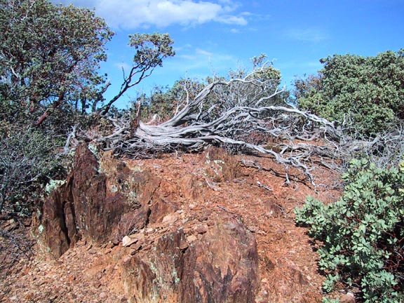
Foot Candy by Fritzski  Notice: Please read the Triplogs to understand the poor condition of this trail due to the Willow Fire in 2004 Notice: Please read the Triplogs to understand the poor condition of this trail due to the Willow Fire in 2004This twelve and a half-mile hike starts at the Deer Creek trailhead and uses both the South Fork and Gold Ridge trails to form a loop through some of the Mazatzals lower elevations.
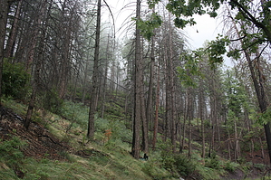
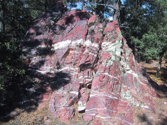
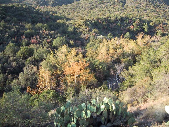
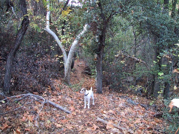
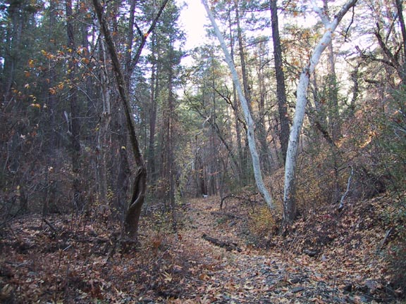
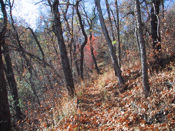
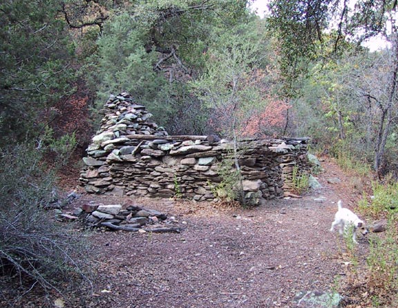
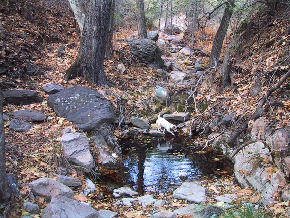
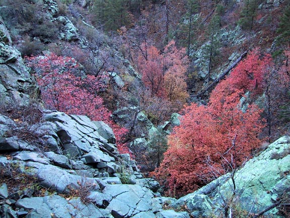
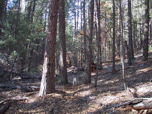
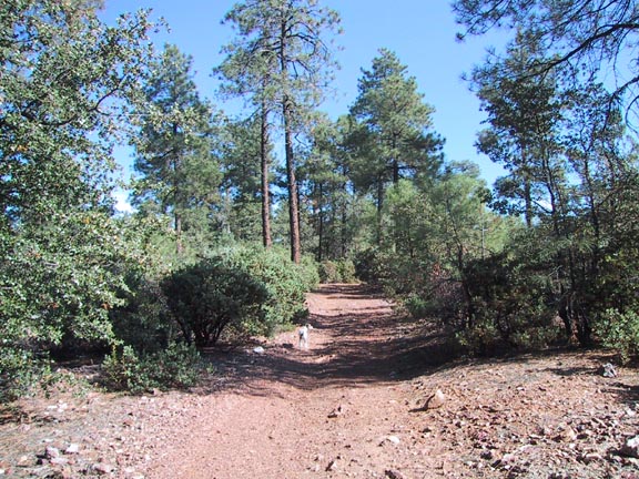
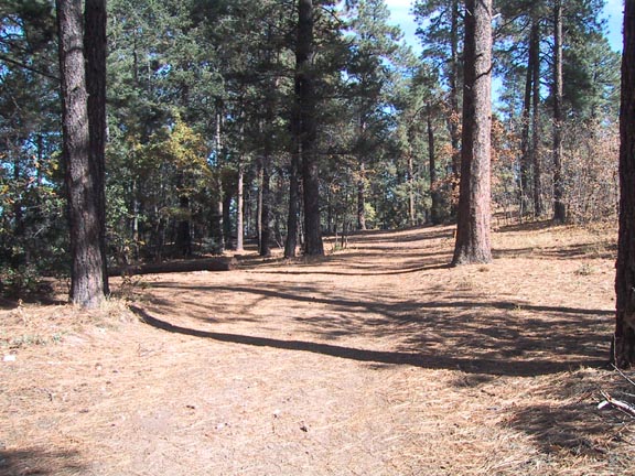
It starts as typical desert scrub for about the first mile, then begins to hug the northern ridge of the South Fork of Deer Creek. This area would be great for rock hounds as the rocks were of a fantastic variety of colors and textures. You'll find yourself looking down into the lush riparian habitat wondering why the trail isn't down there. Be patient because it soon drops in for the remainder of a magical trip through a deciduous environment more reminiscent of a Northern California inland forest than arid AZ. It struck me immediately how smooth this trail was in contrast to the typical AZ rocky terrain. You can literally breeze along the leaf covered trail without having to carefully watch each step. At about the 2.5 mi point, you will come across what looks to be the remains of an old stone cabin. It is a beautiful little spot, and it appears that some have used it for an overnight camp and a very unique setting for a camp fire. At about 5mi round trip, turning around at this point would be ideal for kids. Continuing on there were many small pools of water despite a lengthy dry spell. A little further up the trail, at about the 4mi point, you will see a prominent rock formation appear on the immediate left side of the trail. As you continue around it, you will suddenly find yourself standing in the middle of the stream bed looking straight down from the top of what should be about a 50' sheer waterfall into an awesome small canyon. The terrain is very rocky, with the solid granite lending itself to scrambling around to explore or take photos. I regret that I went in the dry season, but rest assured, I will be back at a more opportune time to check this one out. This is the point I would consider turning around for a great "date hike." But if you still have an appetite for more, you will not go disappointed. I must interject here that although the beauty tends to masquerade it, this trail does have a definite vertical climb (3245'accumulated), and certain wicked pitches will quickly remind you of it. The next phase of this little journey will lead you into the higher climes of the Douglas Fir trees. The forest floor begins to thin out with a carpet of needles and fallen logs. It begins to take on a definite Rocky Mountain flavor as you start nearing the top. At the top, you will suddenly find yourself exiting the woods onto the smooth and well maintained FR201. This is about the 6mi point. Follow it south or left for about a quarter-mile to the terminus of the Gold Ridge trail. If you basically bear to your left at all forks, you'll end up on the right track. There are several jeep trails in this area in addition to the forest road, and the first 3mi of the Gold Ridge trail is just one of these. I found this particular area accessible by auto, to have some of the most excellent camping spots I've seen anywhere. Proceeding down the G.R. trail on this beautiful little jeep road, all I could think about was how I wished I were on a mountain bike. Unfortunately, it doesn't continue like that to the bottom - oh well. As the South Fork was all valley, this is a total ridge trail, which makes for a nice variety. The views to the north of the Mazatzal and surrounding peaks are spectacular. The trail flows down nicely to about the 9mi point where the nice jeep road ends, and the trail makes a distinct change to a more vertical and brush crowded character. It isn't too bad and only lasts about two miles, after which you finally emerge into a pleasant, "African savannah" looking area to the end. The only published mileages I could find for these trails were from the Gorp site and the Forest Service. They were completely different, and neither agreed with my mapping software. Both had the South Fork as the longer trail when even a cursory glance at the topo would tell you otherwise. The beginning half mile of both trails is not accurately depicted on the topo. My research puts the South Fork at about 6mi and the Gold Ridge at 6.5mi. Anyway, all I can say is, "Hike any or all of the South Fork trail, and you'll be a happy camper - guaranteed." Check out the Official Route and Triplogs. Note This is a moderately difficult hike. Leave No Trace and +Add a Triplog after your hike to support this local community. | ||||||||||||||||||||||||||||||||||||||||||||||||||||||||||||||||||||||||||||||||||||||||||||||||||||||||||||||||


