Route Editor

| Guide | ♦ | 2 Triplogs | 0 Topics |
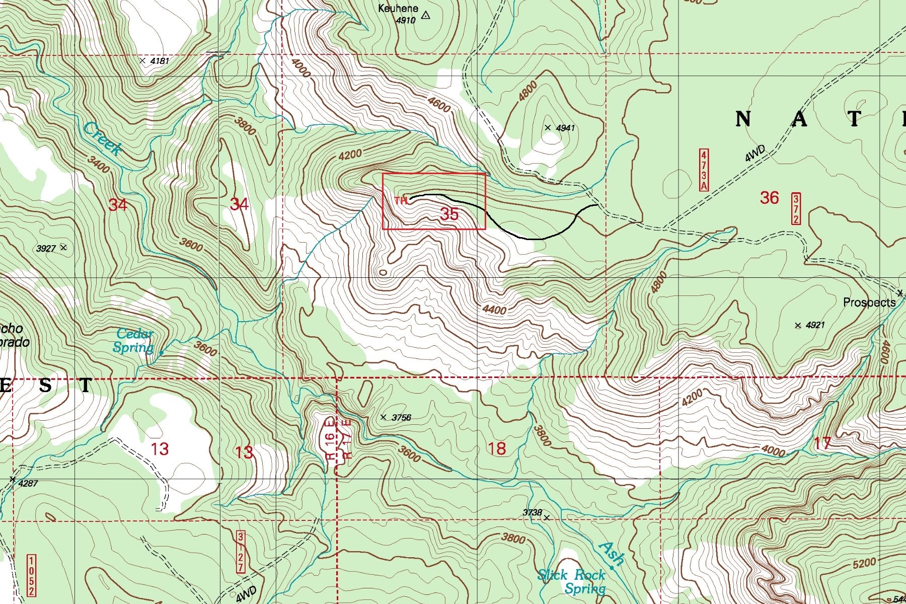
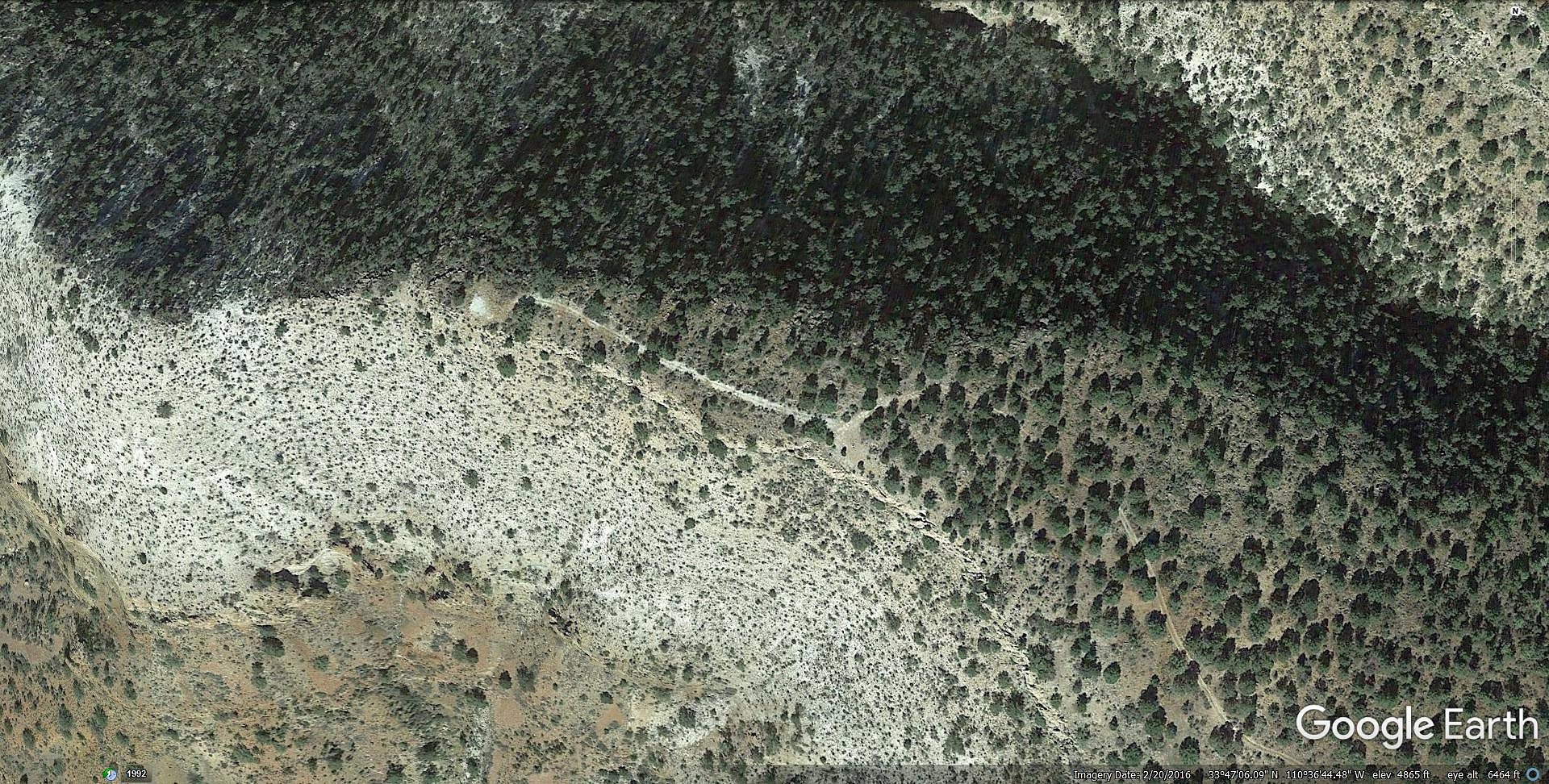
details | drive | no permit | forecast | 🔥 route |
stats |
photos | triplogs | topics | location |
| 32 | 2 | 0 |
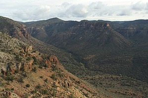
  Scenic north rim point overlook of Ash Creek and Salt River Canyon with far reaching 360 views. This is a very special remote backcountry car camping destination. Scenic north rim point overlook of Ash Creek and Salt River Canyon with far reaching 360 views. This is a very special remote backcountry car camping destination.
Check out the Official Route and Triplogs. Leave No Trace and +Add a Triplog after your 4x4 trip to support this local community. | |||||||||||||||||||||||||||||||||||||||||||||||||||||||||||||||||||||