Route Editor

| Guide | ♦ | 2 Triplogs | 0 Topics |
details | drive | no permit | forecast | route |
stats |
photos | triplogs | topics | location |
| 0 | 2 | 0 |
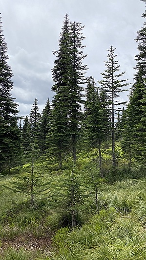
guess the high point by LindaAnn Hike: The trail starts at the southwest corner of the junction of FS-332 (Bunco Rd) & FS-385. There is no sign, but a fiberglass marker at the corner. Elevation gain begins immediately, as you head up a ridge between the two roads. The trail follows an old roadbed for the first quarter-mile but then begins to switchback uphill, steadily gaining elevation. As you head southwest, you can catch a few glimpses of Lake Pend Oreille to the north once you get high enough.
After taking the right fork, the trail heads downhill, then contours around the west side of North Chilco, before dropping down to Chilco Saddle. At Chilco Saddle, continue south, regaining all of the elevation you just lost and then some. Note--bikes are not allowed south of Chilco Saddle. The trail switchbacks up to South Chilco before mostly leveling off across the top of the mountain. The summit is non-descript and all views are obscured by trees. It's mostly a guess of where the true high point is, but the area is pretty, with a few places to sit in a small meadow just before the highest point. It helps to use a map or GPS so you don't go too far south beyond the summit and back downhill unnecessarily. Once done, head back north and down to Chilco Saddle and retrace your steps back to the trailhead. Having three distinct uphill sections of this hike does get a little tiring by the time you are heading back from the saddle, but once you pass the campsite, rest assured, the remainder of the hike is all downhill. Check out the Official Route and Triplogs. Leave No Trace and +Add a Triplog after your hike to support this local community. | |||||||||||||||||||||||||||||||||||||||||||||||||||||||||||||||||||||||||||||||||||||||||