 Route Editor

| Guide | ♦ | 2 Triplogs | 0 Topics |
details | drive | no permit | forecast | map |
stats |
photos | triplogs | topics | location |
| 10 | 2 | 0 |
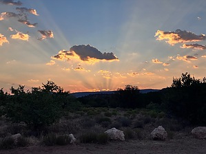
Where’s the water by mt98dew  Overview OverviewThe Wickiup Mesa Trail System is a group of trails located on the southeast edge of the community of Rimrock. Its creation was through the efforts of the Beaver Creek Trail Coalition, the Forest Service, and Yavapai County. The trail system covers 700 acres and ties into the Wet Beaver Creek Wilderness. It currently only has 6.5 miles of trails composed of 7 different routes. Two trailheads and two access points allow entry to the trail system. The main TH, at the end of Glenforest Dr., is an oddly shaped oval with room for about 10 cars. This is also an entry point for vehicles that want to use the forest service roads, so keep that in mind when parking. There are no bathrooms or water at the TH so come prepared. The TH does have a nice info board with a brief history of the area, wildlife, and foliage. All trails are well-signed and all junctures have trail maps that allow you to see how the trails interact. Hike The Well Overlook is one of seven trails that make up the Wickiup Mesa Trail System. It is an interior trail so some additional hiking is required. The best way to access the trail is from the Cedar Knoll TH. Hike in along the Cedar Knoll Trail for 0.68 miles to reach the north end of the Sunset Loop Trail. Then hike an additional 0.8 miles along what is confusingly labeled as the “Sunset Loop North” on trail maps and as “Well Vista” on trail signs. At about 1.5 miles you will reach the juncture with the Well Overlook Trail.
Synopsis The Well Overlook Trail is one of the more isolated trails in the system but is still very easy to access. It offers a unique perspective of Montezuma’s Well, but falls short in making it a compelling draw. If you are hiking the system, this trail might be worth 30 minutes of your time. Gate Policy: If a gate is closed upon arrival, leave it closed after you go through. If it is open, leave it open. Leaving a closed gate open may put cattle in danger. Closing an open gate may cut them off from water. Please be respectful, leave gates as found. The exception is signage on the gate directing you otherwise. Check out the Triplogs. Leave No Trace and +Add a Triplog after your hike to support this local community. One-Way Notice This hike is listed as One-Way. When hiking several trails on a single "hike", log it with a generic name that describes the hike. Then link the trails traveled, check out the example. | ||||||||||||||||||||||||||||||||||||||||||||||||||||||||||||||||||||||


