 Route Editor

| Guide | ♦ | 2 Triplogs | 0 Topics |
details | drive | no permit | forecast | route |
stats |
photos | triplogs | topics | location |
| 49 | 2 | 0 |
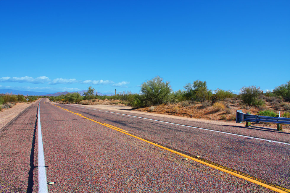
Ode to Dee Snider by TheNaviG8R  Note: This trail is known as "Lead Trail" on the Beartooth publishing map. Note: This trail is known as "Lead Trail" on the Beartooth publishing map.You can start this hike/bike ride in any direction you'd like. I like to start at the N/W portion of the trail on Power/Bush rd. You can pull off the side of the road and park in the small designated area. You will want to start hiking along Bush HWY towards the East. At 1.0 mile you'll be passing the turn-off towards Phon D. Sutton on your left, but we'll just keep on trekin' to the East. At 2.7 miles into the hike, you'll see Coons Bluff turn-off to the left but once again our destination is further up the road. Just another 0.7 miles is the 4-way stop at Bush HWY/Usery Pass Rd you will want to hang a right at the 4- way stop and take a drink of that water you brought, you did bring plenty of water right?
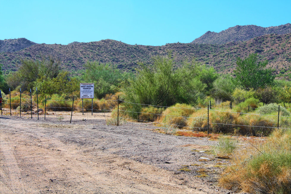
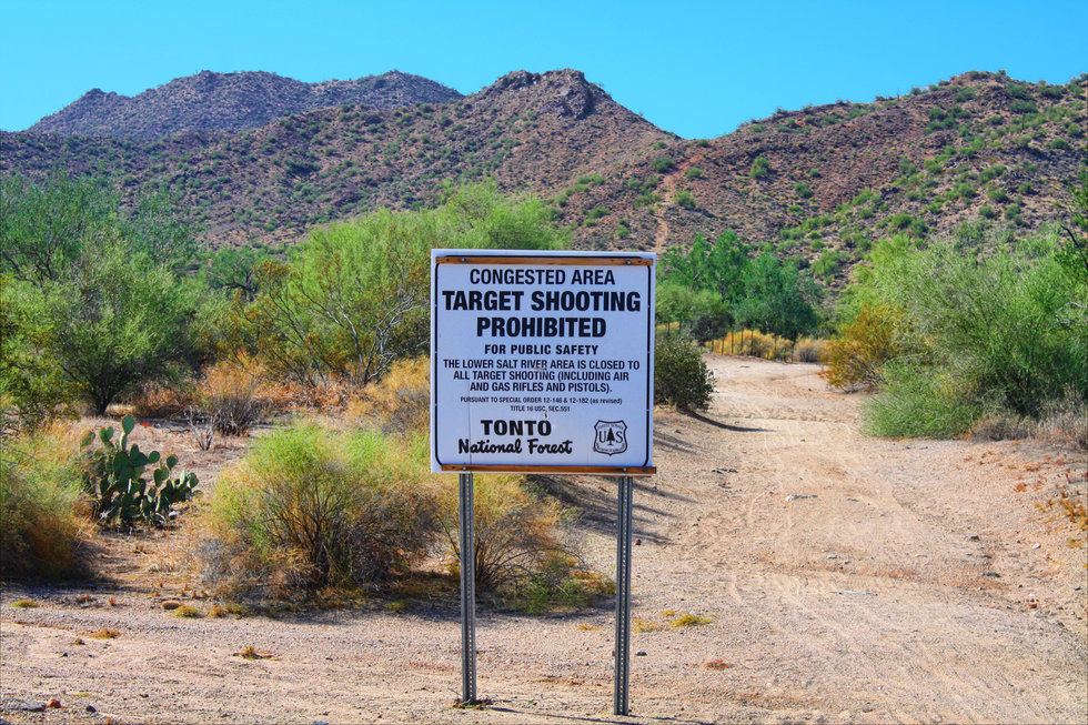
After hiking 0.2 miles you'll come to a large open-pit-like area that is riddled with old ammo casings. Don't worry, you should be safe as "No Shooting" is allowed in these parts any longer, remember the sign at the fence opening. At this open area, you want to look for the trail that is directly in front of you across on the other side 380 ft away. It's fairly easy to spot, if not just walk across and you see it for sure. Now that you're in the desert be aware of our Arizona friends that live out here such as scorpions, snakes, and other possible critters that could cause you harm. You'll have plenty of photo ops of the scenery around for the last 3.7 miles that lead you back to where you started. I hope you enjoy this one. Check out the Official Route and Triplogs. Leave No Trace and +Add a Triplog after your hike to support this local community. | |||||||||||||||||||||||||||||||||||||||||||||||||||||||||||||||||||||||||||||||||||||||||||||||


