Route Editor

| Guide | ♦ | 1 Triplog | 0 Topics |
details | drive | permit | forecast | map |
stats |
photos | triplog | topics | location |
| 5 | 1 | 0 |
  Happy Trails! Check out the Triplog. Leave No Trace and +Add a Triplog after your hike & climb trip to support this local community. | ||||||||||||||||||||||||||||||||||||||||||||||||||||||||||||||||||||||||||||||||||||||||||||||
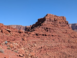
Point Hansbrough, AZ |
| Guide | ♦ | 1 Triplog | 0 Topics |
details | drive | permit | forecast | map |
stats |
photos | triplog | topics | location |
| 5 | 1 | 0 |
Happy Trails! Check out the Triplog. Leave No Trace and +Add a Triplog after your hike & climb trip to support this local community. | ||||||||||||||||||||||||||||||||||||||||||||||||||||||||||||||||||||||||||||||||||||||||||||||
|
Permit $$
NPS Grand Canyon National Park Details for each are occasionaly below numerous alerts • Entrance Fee • Overnight/Backpacking Permits • Grand Canyon Use Areas Map • Rim-to-Rim and Extended Day Hike/Run |
|
Road
FR / Jeep Road - Car possible when dry
|
|
|
|
|