Route Editor

| Guide | ♦ | 7 Triplogs | 0 Topics |
details | drive | no permit | forecast | route |
stats |
photos | triplogs | topics | location |
| 50 | 7 | 0 |
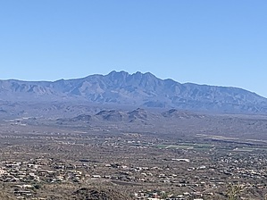
Alternate Realty by DixieFlyer  Overview OverviewThe Alternate Route is a connector trail that connects the Promenade Trail with the Andrews-Kinsey Trail. The official name of the trail is the "Alternate Route to Andrews-Kinsey Trail & Western Trail"; the HAZ name has been shortened for brevity. History This trail was formerly the south entrance of the Western Trail. The Western Trail was rerouted in 2024, and this trail was renamed at that time.
From the Adero Canyon Trailhead, take the Promenade Trail for about 0.1 miles and turn left at the signed junction for the Alternate Route. In about 0.15 miles, you will arrive at the Andrews-Kinsey Trail. The Alternate Route is steep, and there are quite a few embedded rocks and boulders in the trail, so the travel can be a bit difficult. The main use of this trail is for hikers going south on the Promenade Trail who want to get on the Andrews-Kinsey Trail instead of going back to the Adero Canyon Trailhead. If you are hiking from the Adero Canyon Trailhead, it is easier to simply take the Andrews-Kinsey Trail from the trailhead instead of taking the Alternate Route.
Check out the Official Route and Triplogs. Leave No Trace and +Add a Triplog after your hike to support this local community. | |||||||||||||||||||||||||||||||||||||||||||||||||||||||||||||||||||||||||||||||||||||||||||||||||||||||||||||||||||||||||||||||||||||||||||||||||||||||||||