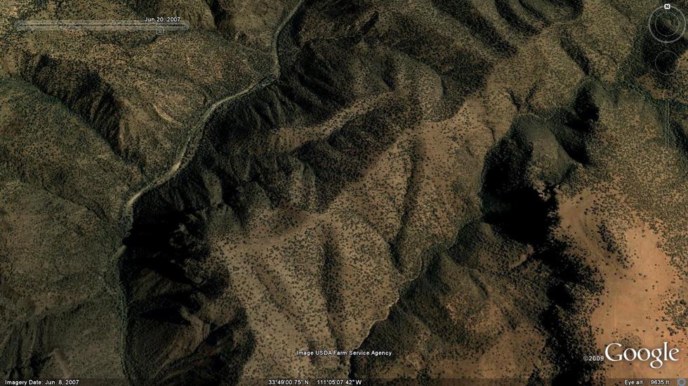
Overview: Rewarding hike into an isolated and rugged area of the Salome Wilderness. The route follows a closed roadbed and offers great views and guaranteed solitude. The entire route stays within the Salome Wilderness.
When hiking several trails on a single "hike", log it with a generic name that describes the hike. Then link the trails traveled, check out the example.
WARNING! Hiking and outdoor related sports can be dangerous. Be responsible and prepare for the trip. Study the area you are entering and plan accordingly. Dress for the current and unexpected weather changes. Take plenty of water. Never go alone. Make an itinerary with your plan(s), route(s), destination(s) and expected return time. Give your itinerary to trusted family and/or friends.
Permit $$
None
Directions
Road
Strictly 4x4
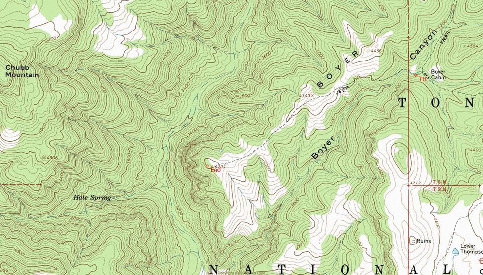
To hike The hike starts out near the back of the Boyer Cabin homestead site. Look for an existing roadbed heading west with a wilderness boundary sign. See (Boyer Cabin Trail #148) for driving directions.
 Route Editor


 Overview: Rewarding hike into an isolated and rugged area of the Salome Wilderness. The route follows a closed roadbed and offers great views and guaranteed solitude. The entire route stays within the Salome Wilderness.
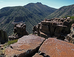


