 Route Editor

| Guide | ♦ | 5 Triplogs | 1 Topic |
details | drive | no permit | forecast | 🔥 route |
stats |
photos | triplogs | topic | location |
| 11 | 5 | 1 |
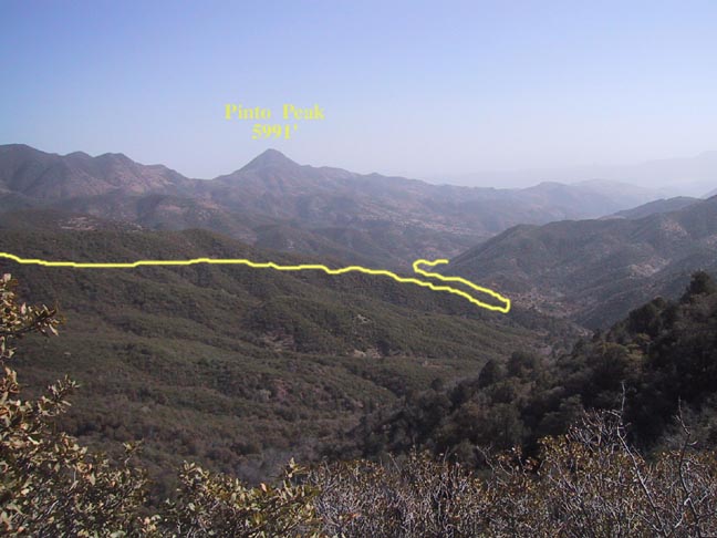
A Definite "HAWG" Hike by Fritzski  (The HAWG is my biggest daypack. It's the one that carries everything but the kitchen sink:). (The HAWG is my biggest daypack. It's the one that carries everything but the kitchen sink:).This rather arduous trek through the eastern Superstitions begins at the Rogers Trough trailhead. From there, it consists of a loop hike starting with a short stroll north on the Reavis Ranch Trail(109), east on the West Pinto Trail(212), then back via the Spencer Spring Trail(275), and Forest Rd. 650.
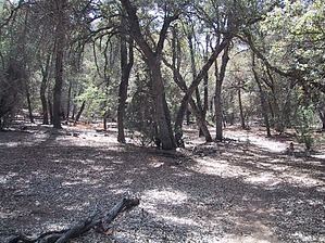
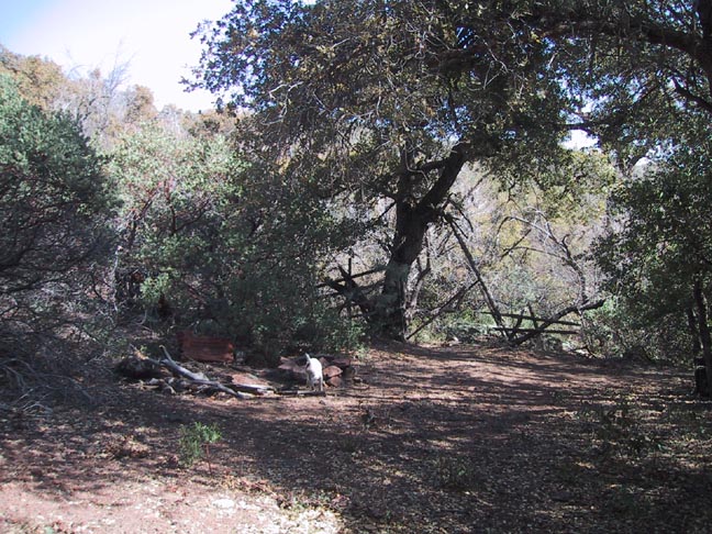
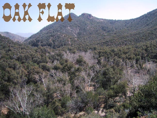
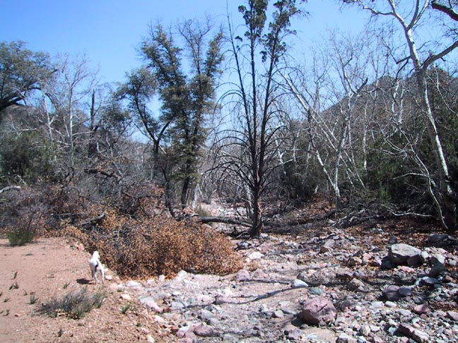
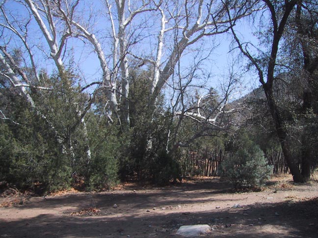
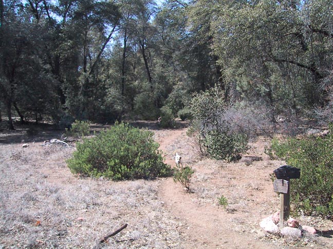
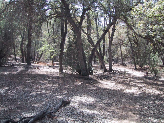
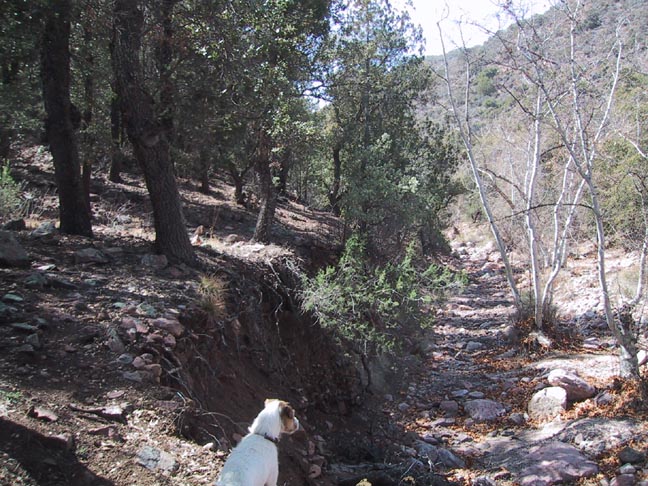
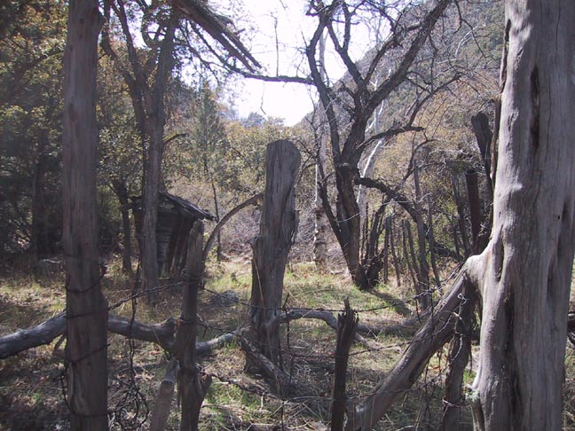
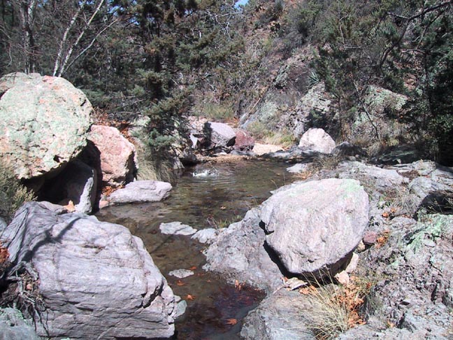
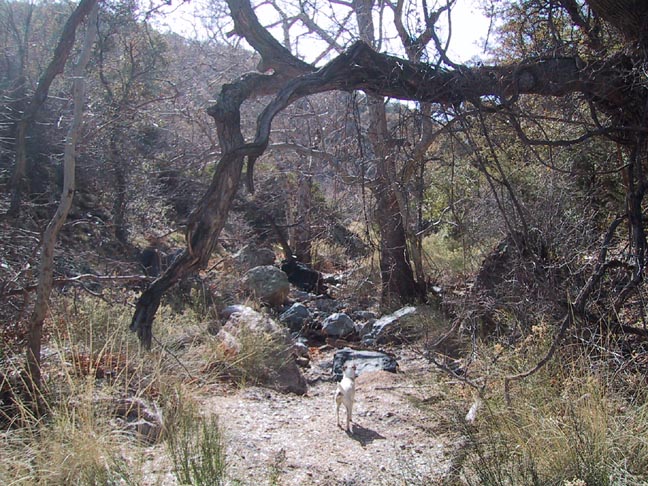
As the trail continues relentlessly downhill for most of its 6.5 miles, you can't help but feel a sense of foreboding at the thought of having to regain all that lost altitude on the return. You quickly forget all your worries though, as you enter the spectacular Oak Flat which is the confluence of the West Fork Pinto, Spencer Spring, and two other minor creeks. It is a gorgeous riparian area very reminiscent of Angel Basin. It has a scenic old corral and would be an outstanding area to camp and explore. Unfortunately for me... "no rest for the weary", time was of the essence if I wanted to get back at a decent time... like before dark! A concern on any longer "loop" hike is what I would consider a "point of no return". For example, not knowing the condition of the Spencer Spring Trail, which was my planned ticket home, it is conceivable that I could get halfway back on it, find it impassable for one reason or another, and now be faced with the sobering thought of having to return the long way around. My worst fears were quickly laid to rest, however, when I found a nice trail sign pointing the way to the perfectly defined trail up Spencer Spring Canyon complete with a new set of fresh cairns along the way (thank you to whoever, but as it always seems to turn out, there weren't be many around when I really needed them). So off you go along the lovely scenic trail as it winds its way west along the creek bed seeming to be everything that the W.Pinto Trail wasn't. As you're being lulled into complacency, you easily forget that this trail isn't climbing much, and somewhere along the line, you're going to "pay the piper" for all that lost elevation. Soon you'll be rudely shaken to your senses. First, however, you'll come to the idyllic Cement Springs at about the 8-mile point. This is a really neat and apparently ancient, little corral with some old feedboxes and troughs. Although the spring was dry, there were many pools of clear water along the way. From this point on, things began to take a nasty and unexpected turn for the worse. I encountered several areas where the trail deviated from the topo depiction as verified by my GPS and did so in a quite devious manner. It is imperative that you note where the trail leaves the creek bank and climbs up on the northern slope at about the 9.5-mile mark. Prior to this, the trail makes an undepicted climb up the south bank, becomes very overgrown and hard to follow - the first harbinger of things to come. It then drops rapidly back down into a tight, swampy area at the bottom. It is here that I encountered what I consider to be one of the trickiest route-finding problems I've ever run across. Not having a clue as to where the trail was, I was sorely tempted to keep it simple and continue up the creek bed. I'm not sure what the outcome would have been, but I think "bad things" would have happened. I noticed a worn spot climbing the bank behind me and heading back in the reverse direction. Looking again at the uninviting swamp, I decided to give it a try. As I kept up the steep climb in the wrong direction, I was nearly convinced I was heading back down canyon on an alternate trail I had missed. I kept wanting to turn back, but then after much farther than seemed reasonable, the trail suddenly doubles back in a westerly direction. This is contrary to the topo depiction, where the trail more or less continues to flow in a westerly direction as it leaves the creek and climbs the north slope. From this point to Spencer Spring, at about the 10.5-mile point, it's pretty much nothing but a "gut check". The trail is very overgrown, faint and hard to follow, and climbs steeply. It is a nice relief to finally get to Spencer Spring, a nice little spot but once again dry. Here too, is a tricky little spot. Take note that unless you haven't had your fill of bushwhacking, it's time to climb right back out of the creek bed and head for the nirvana of a wide-open Forest Road. Here again, the trail deviates left of the topo depiction in that it heads straight south up a gully to the signed intersection with FR650. The good news is you're on the wide-open road; the bad news is you have more climbing to do. At around 11.5 miles, you'll pass the signed Reavis Canyon Trail (#509), and it's pretty much all downhill from there. At the 13 mile point, there should be a shortcut directly over to the trailhead. I didn't see it and, at that point, didn't have the stomach to venture ten feet into the bush to look for it, so I ended up staying on the road and taking the long way around. This, and the other deviations, added a full mile to my planned 13 miles. I'm not sorry I did this hike in that I eventually would like to do all the trails in the Superstition Wilderness. I would, however, rate it rather low on the reward versus effort scale as a day hike. As a backpack, however, Oak Flat would be hard to beat as an overnight destination. Check out the Official Route and Triplogs. Note This is a moderately difficult hike. Leave No Trace and +Add a Triplog after your hike to support this local community. | |||||||||||||||||||||||||||||||||||||||||||||||||||||||||||||||||||||||||||||||||||||||||||||||||||||||


