 Route Editor

| Guide | ♦ | 19 Triplogs | 3 Topics |
details | drive | no permit | forecast | 🔥 route |
stats |
photos | triplogs | topics | location |
| 357 | 19 | 3 |
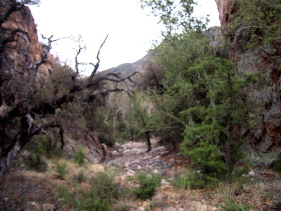
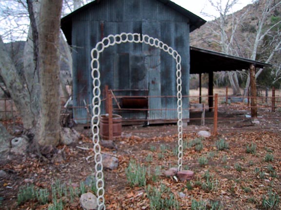
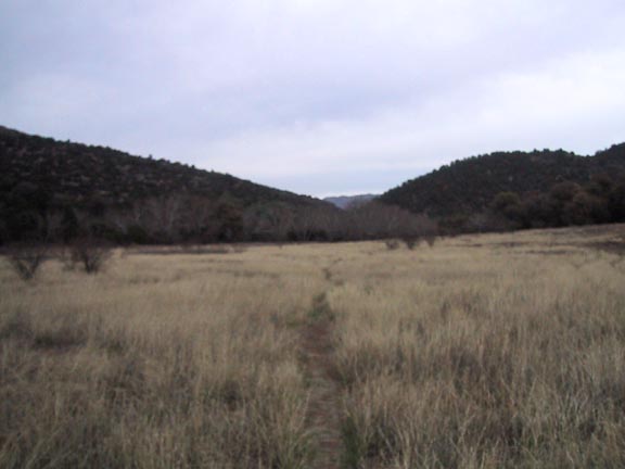
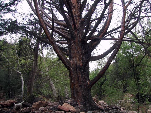
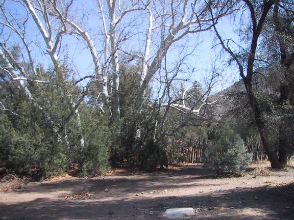
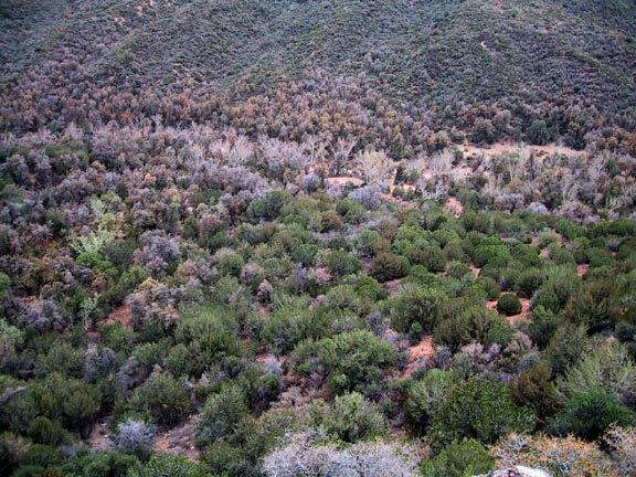
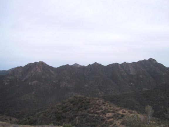
Never sick of more Sycamore by Fritzski   This pleasant hike through the Eastern Superstitions starts at Miles Trailhead following the West Pinto Trail (212) west to Oak Flat then north on Campaign Trail (256) to the Campaign / Pinto Divide. This hike has polar opposite split personalities, with the first half being a lush, shady, mild climb and the second being a steep, relentless climb through dry scrub land. This pleasant hike through the Eastern Superstitions starts at Miles Trailhead following the West Pinto Trail (212) west to Oak Flat then north on Campaign Trail (256) to the Campaign / Pinto Divide. This hike has polar opposite split personalities, with the first half being a lush, shady, mild climb and the second being a steep, relentless climb through dry scrub land.Miles Trailhead is the site of the old Kennedy Ranch and in addition to being a very picturesque area, there are many old buildings and remains of the ranch to be seen. It appears that grazing is still done there, but I haven't seen any cattle in numerous visits.
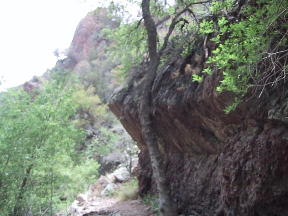
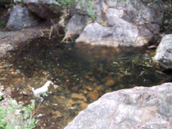
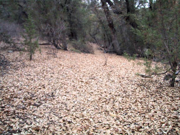
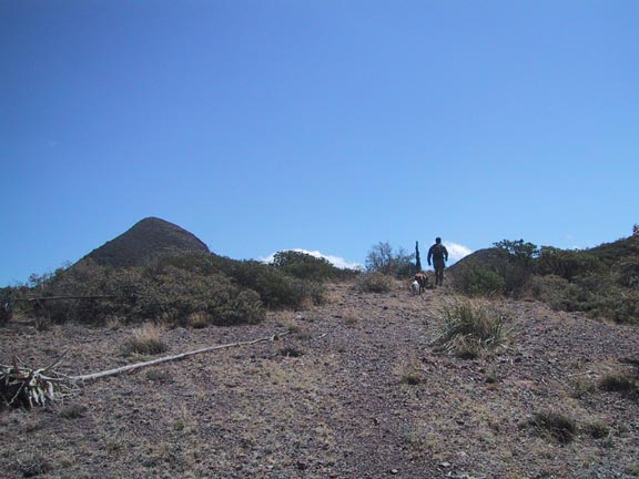
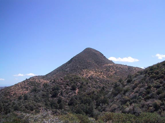
At about the 2.5-mile point you will come to the Cuff Button Trail (276) intersection and the eastern edge of beautiful Oak Flat. The beginning of Cuff button is quite pretty but appears seldom used and may present a decent route-finding challenge. Continuing for about another tenth mile you'll come to the Campaign Trail intersection. It was formerly the Pinto Peak Trail and was still signed as such as of this writing. Oak Flat is a lush area where there is a confluence of numerous creeks and washes. This whole area, a favorite overnight spot for backpackers, begs to be explored, so take a break and spend some time looking around. I was informed by Jack Carlson that there are a couple of cabin remains in the area. The central circular corral is easily spotted, but I was unable to locate any structure ruins, other than the bizarre efforts of someone with too much time on their hands. Either they have since disappeared, or I was looking in the wrong area. Jack has indicated they may be at the northwest corner of the Flat, which is an area I didn't check. This would be a great turnaround point for those wishing a shorter and less strenuous hike for a total of about five miles RT. For those wishing to continue, it's an "up elevator" from here with nearly the entire vertical gain of the trip concentrated in the next 2.5 miles. The mapping software profile view of the hike looks like one of those ramps used by freestyle aerialists, so I figured it wasn't going to be pretty. It is not that bad and your attention is diverted to some neat features and awesome views along the way. The trail maintenance ended about half up where things then get a bit close but remains easy to follow. As I've said before, too much time is spent on detail at the expense of mileage. Just prior to the 3-mile point and shortly after you have begun the climb you'll come alongside a small pinnacle rock formation that is easily climbed for some great birds-eye views of the Flat and Saw Tooth Ridge to the south. Beyond that, at about the 3.75-mile point you may notice some orange plastic ribbon attached to some bushes on your left. I noticed it again further up just beyond 4 miles along with numerous yellow flags placed along a slightly trampled route through a forest of Catclaw. On the way back down I decided to follow the markers and ended up in a nasty bushwhack that was essentially nothing more than an alternate detour around the perfectly good trail. I have no earthly idea what purpose could be served by such deliberate effort. Probably some kind of Owl's nest alongside the main trail, so the Forest Service solution is to hack the place up to avoid it : ). As you near the lip or "kicker" of your "freestyle ramp" climb it gets ever steeper, but you know it's got to end soon. At the top it is windswept and open with nice views of the prominent Pinto Peak. This is the Pinto / Campaign Divide where the ridge defines the separation of drainage on the north side into Campaign Creek and to the south into Pinto Creek. Both eventually drain into the Salt River to the north. From here you could continue down the Campaign Trail to Fire Line Tr. or all the way down to the Campaign Trailhead. For this hike, it's simply back the way you came. On the way, I happened to eye a neat-looking area below in the bed of W. Fork Pinto Creek west of the Flat and decided to take a detour directly south down the slope. Major mistake! That whole area is a "minefield" of Catclaw that you don't notice so much from the trail. Oh yes, it was "neat" down there, but not worth the blood loss. Is it just me, or does anybody else curse under their breath when they get in these painfully stupid predicaments? Oh well, last week's scratches were needing fresh replacements anyway. Check out the Official Route and Triplogs. Leave No Trace and +Add a Triplog after your hike to support this local community. | |||||||||||||||||||||||||||||||||||||||||||||||||||||||||||||||||||||||||||||||||||||||||||||||||||||||||||||||||||||||||||||||||||||||||||||||||||||||||||||||||||||||||||||||||||||||||||||||||||||||||||||||||||||


