Route Editor

| Guide | ♦ | 11 Triplogs | 0 Topics |
details | drive | no permit | forecast | map |
stats |
photos | triplogs | topics | location |
| 67 | 11 | 0 |
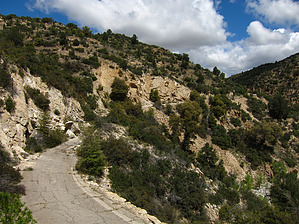
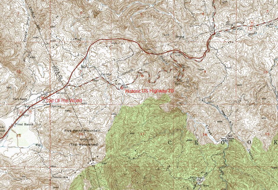
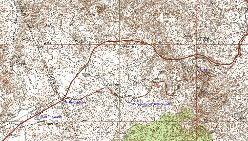
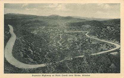
  Overview OverviewLong and scenic segment of the historic US Highway 70. The original bridge was in service from 1900-1949 and is still completely intact. The abandoned Pinto Creek Bridge is of earthen construction with a long concrete brick culvert.
Check out the Triplogs. Leave No Trace and +Add a Triplog after your hike to support this local community. | |||||||||||||||||||||||||||||||||||||||||||||||||||||||||||||||||||||||||