username
X
password
register
for free!
help


Ruin Basin, AZ

Guide 3 Triplogs  0 Topics
  2.5 of 5  
Fav
Wish
2
details
drive
no permit
forecast
map
stats
photos
triplogs
topics
location
11 3 0
HAZ reminds you to respect the ruins. Please read the Archaeological Resources Protection Act of 1979 & Ruins Etiquette
Statistics
tap row or icons for details
Distance Round Trip 0 miles
Trailhead Elevation 3,659 feet
 Interest Off-Trail Hiking, Ruins, Historic, Seasonal Creek & Perennial Creek
feature photo
Photos Viewed All MineFollowing
11  2010-02-13 ssk44
Author
author avatar Guides 16,843
Routes 17,472
Photos 24
Trips 1 map ( 6 miles )
Age 28 Male Gender
Location HAZ, TrailDEX
Associated Areas
list map done
Globe Region
Historical Weather
Trailhead Forecast
Expand Map
Preferred Mar, Nov, Feb, Jan
Sun  6:00am - 6:44pm
0 Route
 
0 Alternative


remove free decal offer

 
Guide Needed
Publish Full Detail Guide


Use +Add above to share photos and triplogs
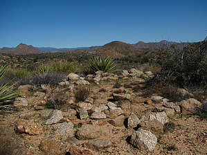
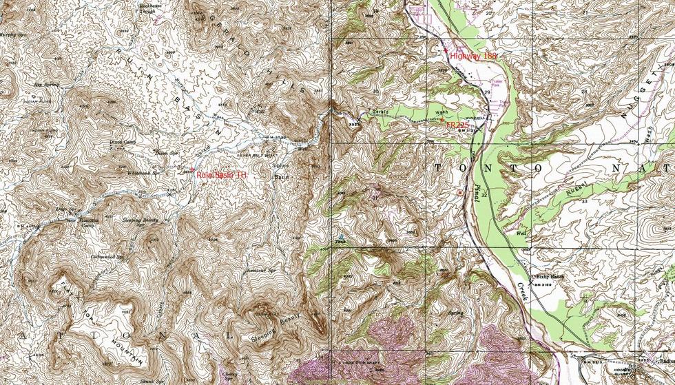
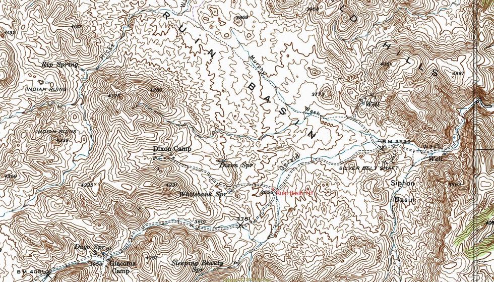
Overview: Unique forgotten area, northwest of Miami. Ruin Basin has extensive early 1900's mining history and was original inhabited by an ancient Indian culture.


  • guide related image guide related image
    guide related


Check out the Triplogs.
Leave No Trace and +Add a Triplog after your hike to support this local community.
WARNING! Hiking and outdoor related sports can be dangerous. Be responsible and prepare for the trip. Study the area you are entering and plan accordingly. Dress for the current and unexpected weather changes. Take plenty of water. Never go alone. Make an itinerary with your plan(s), route(s), destination(s) and expected return time. Give your itinerary to trusted family and/or friends.

 Permit $$
None


 Directions
or
 Road
High Clearance possible when dry

To hike
Access is via FR225 (Gerald Wash) off Highway 188.
page created by ssk44 on Feb 14 2010 2:13 pm
 90+° 8am - 6pm kills
helpcorrectionissue

end of page marker