 Route Editor

| Guide | ♦ | 1 Triplog | 0 Topics |
details | drive | no permit | forecast | map |
stats |
photos | triplog | topics | location |
| 18 | 1 | 0 |
Defending the Dam by Dano  Anonymous writes: There's no way to get to Aldrich butte without crossing private land. Then states land owners will prosecute. Page Preserved for history. HikeArizona it's better anyhow!
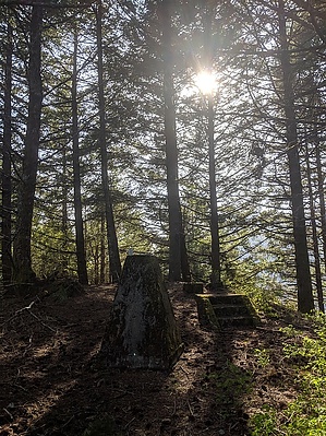
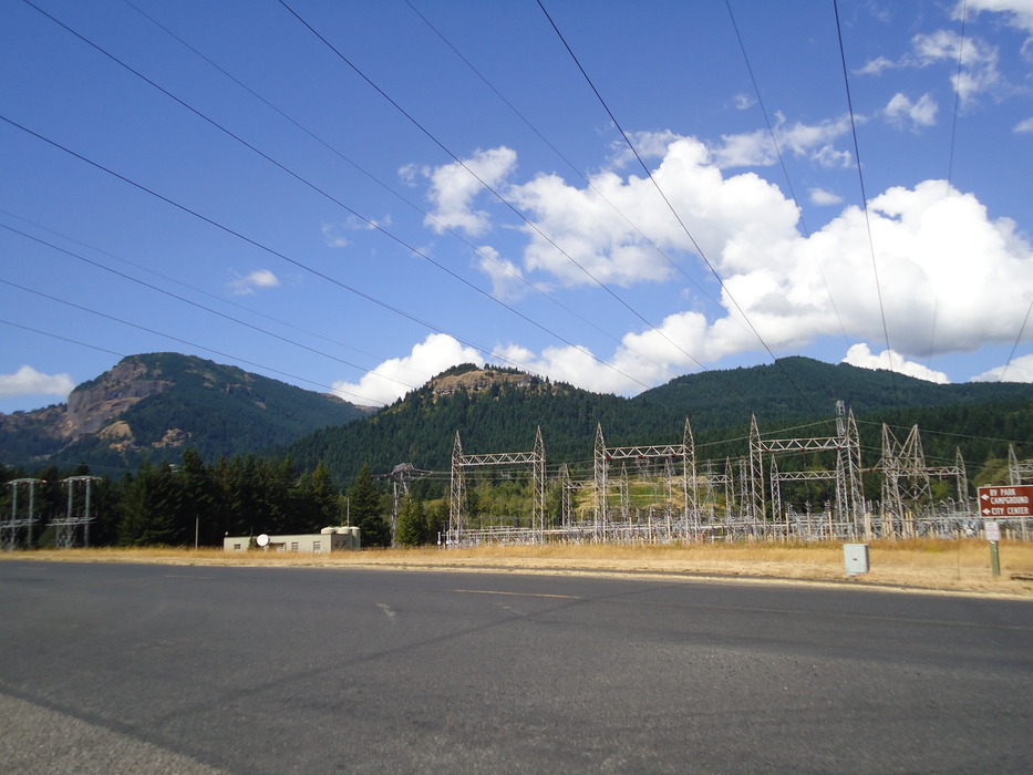
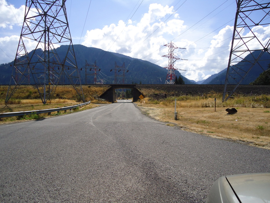
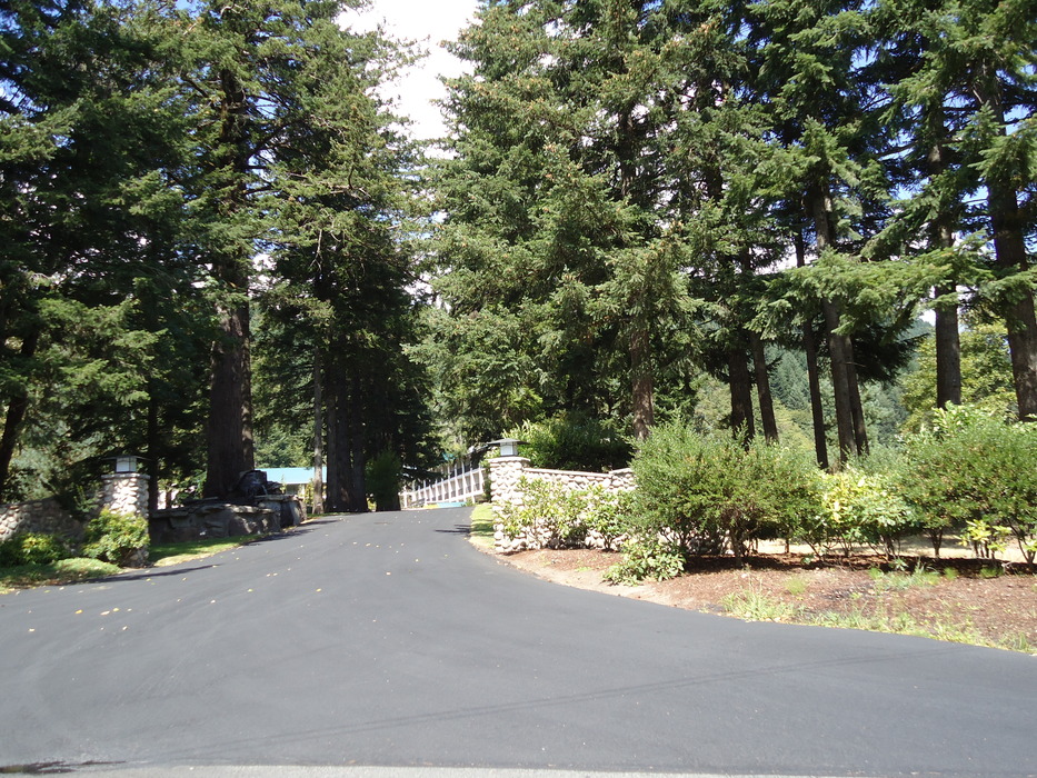
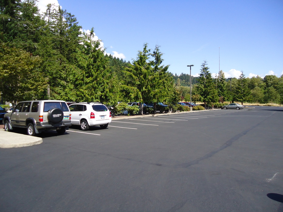
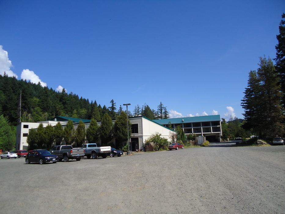
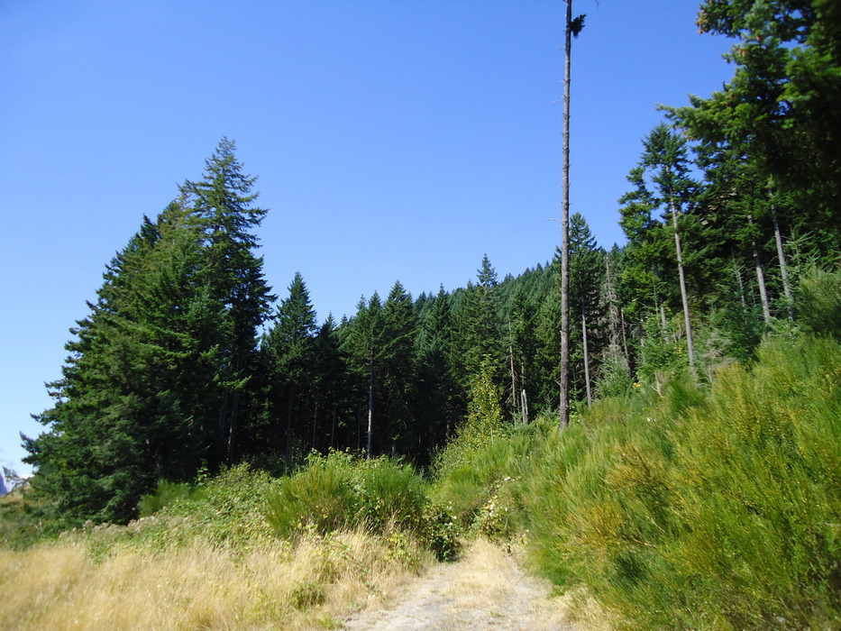
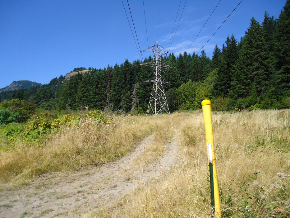
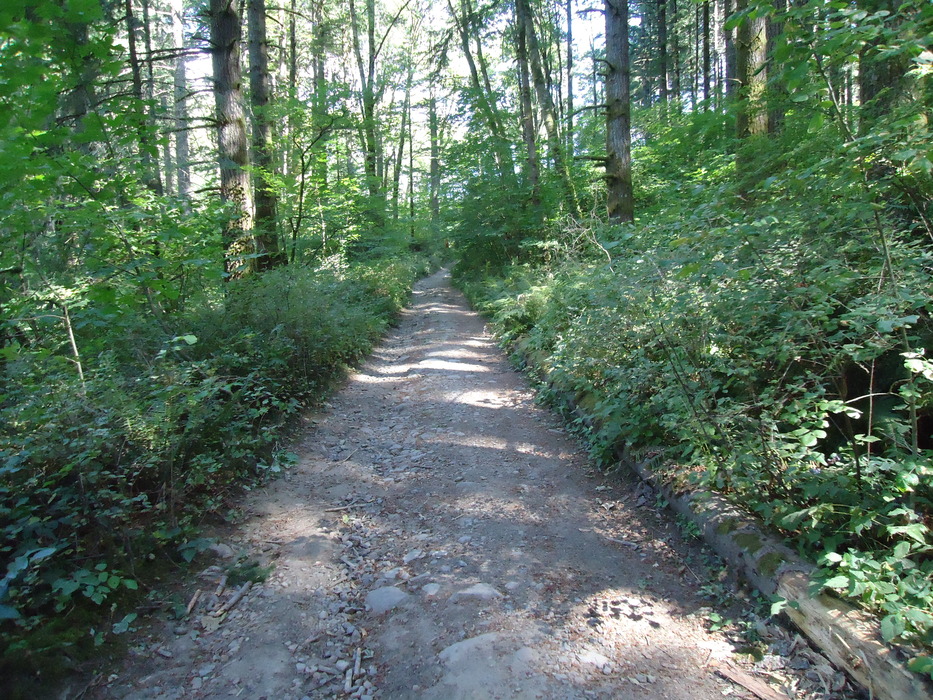
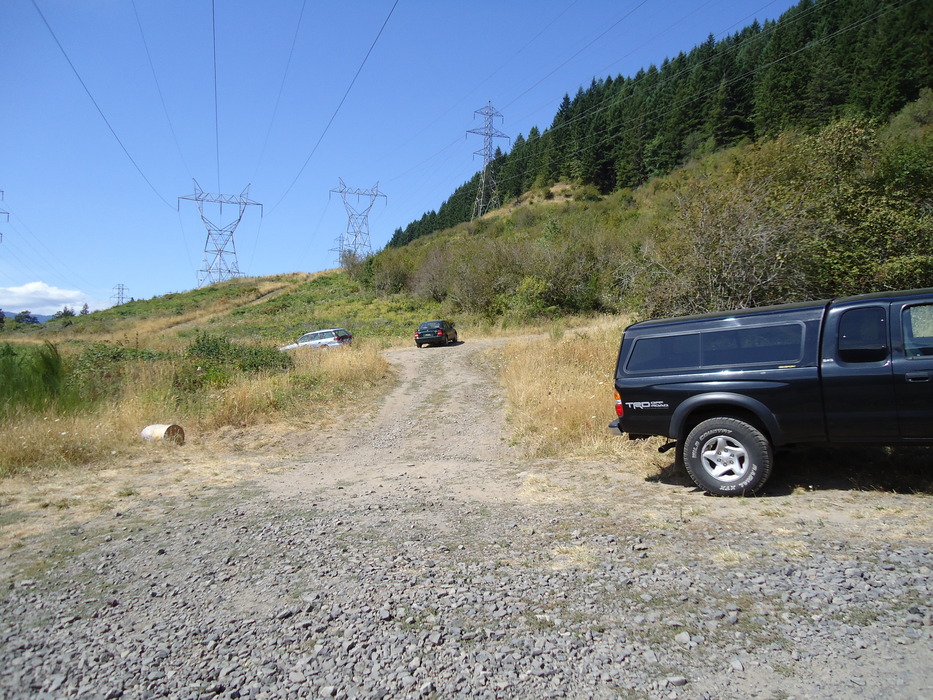
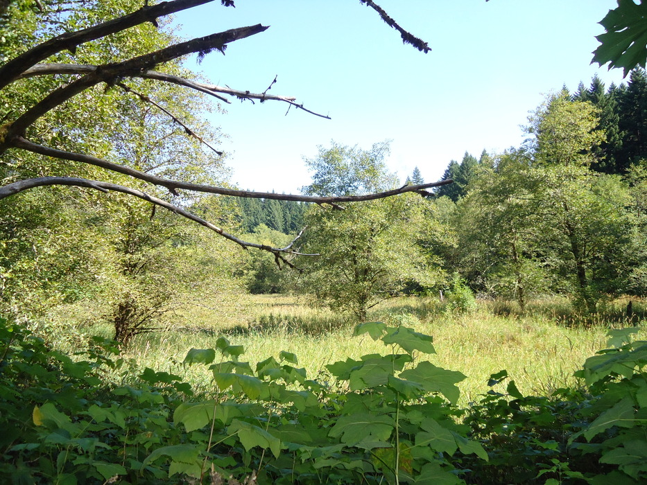
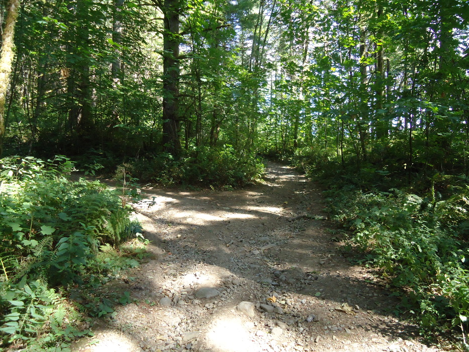
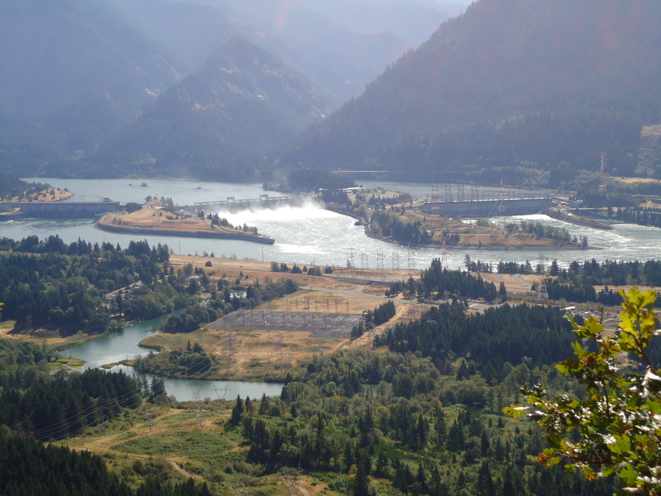
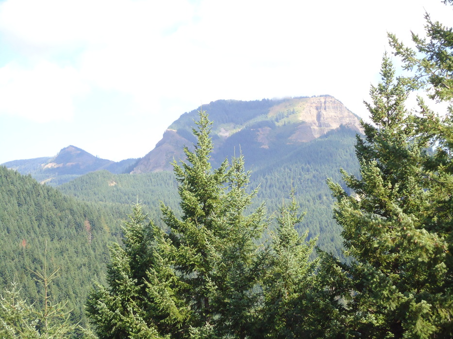
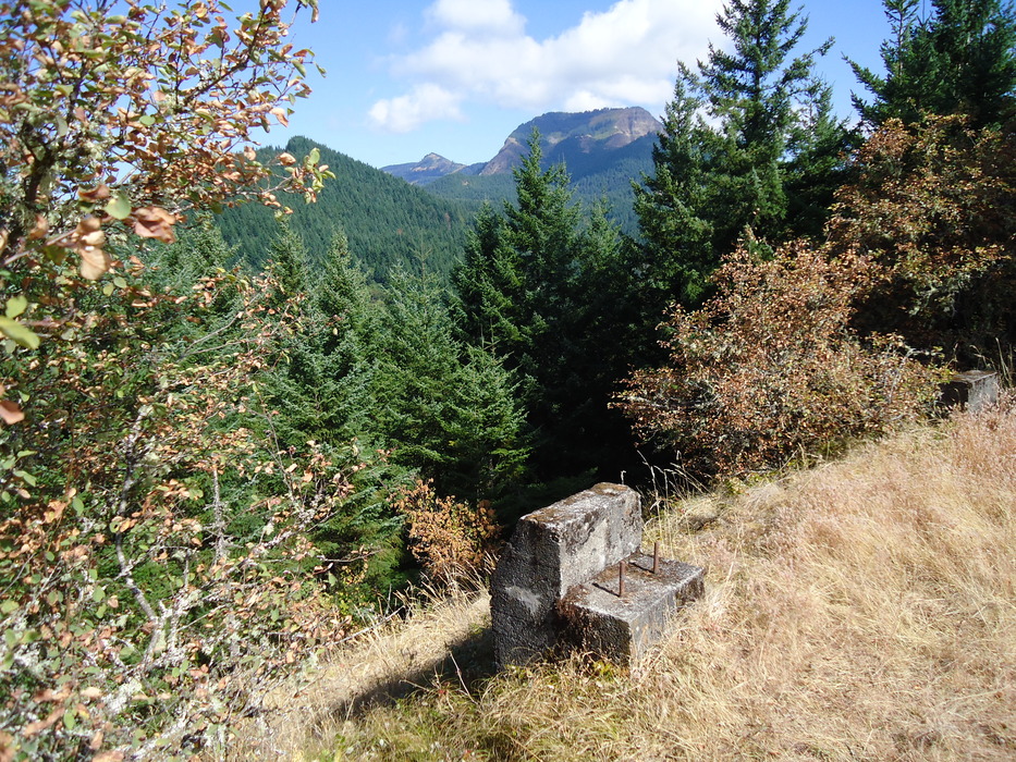
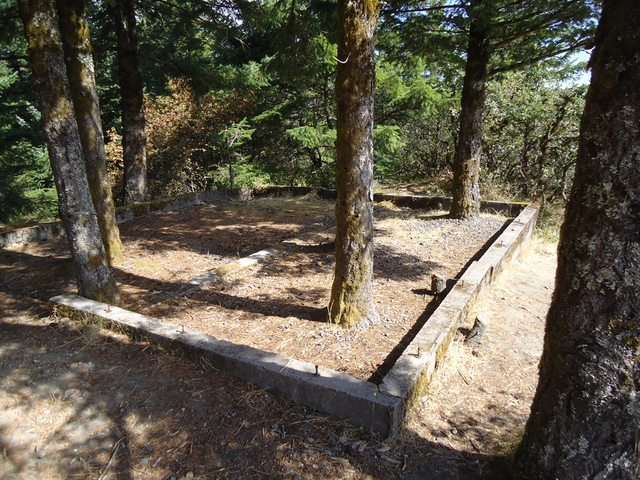
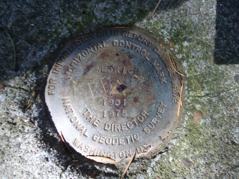
You can see the butte as the middle rise in this photo, once you go through the underpass off of the highway. Once you find the Bonneville Hot Springs turnoff, turn right (East) and park in the paved parking lot. Walk around the resort and head up the road to the right. This road follows a gas pipeline, and after about 1/4 mile continues under a power line. Some of the roads going North from the power lines apparently lead nowhere. Look for the path to the right, just after you pass over a small running stream, with a pipeline marker. Quickly you head into the forest, and the trail heads North/Northwest for about 1/3 mile before it intersects with the jeep trail. Note the location for your return path (an alternative is to return down the jeep road to the power lines, and head East; there were some cars parked there, but other guides said that you must cross private property to get to this spot, so I can't recommend it). Once on the jeep road, continue North until you reach a clearing, and then you will see the path that continues to Table Mountain. Go left here, and left again at a second nearby road. You will then be heading Southwest, and continue on the road to the summit. This last 1/2 mile portion is uphill the entire way. At the summit are great views of Bonneville Dam and Table Mountain. Apparently during World War II, the military took over what was a lookout tower (only the foundations remain), and installed a concrete gunner mount to defend the dam in case of an air invasion from the Pacific Ocean. There is reportedly a similar mount on Wauna point on the other side of the Gorge. The remains of a building foundation are also there, as is a survey marker. Good hike descriptions can be found in William Sullivan's "100 Hikes in Northwest Oregon", and in Douglas Lorain's "Afoot & Afield Portland/Vancouver". One of the better web sites I've found for the general area is nwhikers.net. Check out the Triplog. Leave No Trace and +Add a Triplog after your hike to support this local community. One-Way Notice This hike is listed as One-Way. When hiking several trails on a single "hike", log it with a generic name that describes the hike. Then link the trails traveled, check out the example. | |||||||||||||||||||||||||||||||||||||||||||||||||||||||||||||||||||||||||||||


