
This trail is a nice alternative to large crowds seeking waterfalls. There is a small stream and waterfall along the way, but this trip is about the elevation gain and the nice view of the Columbia Gorge. After
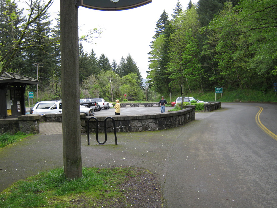
parking, head over to the
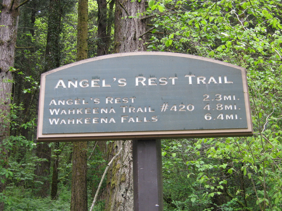
trailhead, and the
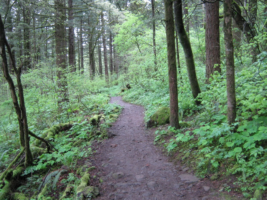
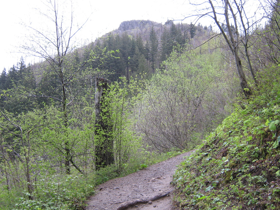
sign provides the mileage. This trail is typical of all others in the area, with beautiful trees and
ground cover along the way. About a half mile in, stop and take a look at the
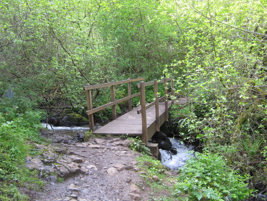
falls of Coopey creek, even though the view is somewhat obstructed, because once you cross the
bridge, this is the last waterfall you'll see. The trail climbs steadily pretty much until the very end, but remember to stop along the way and take a look at the
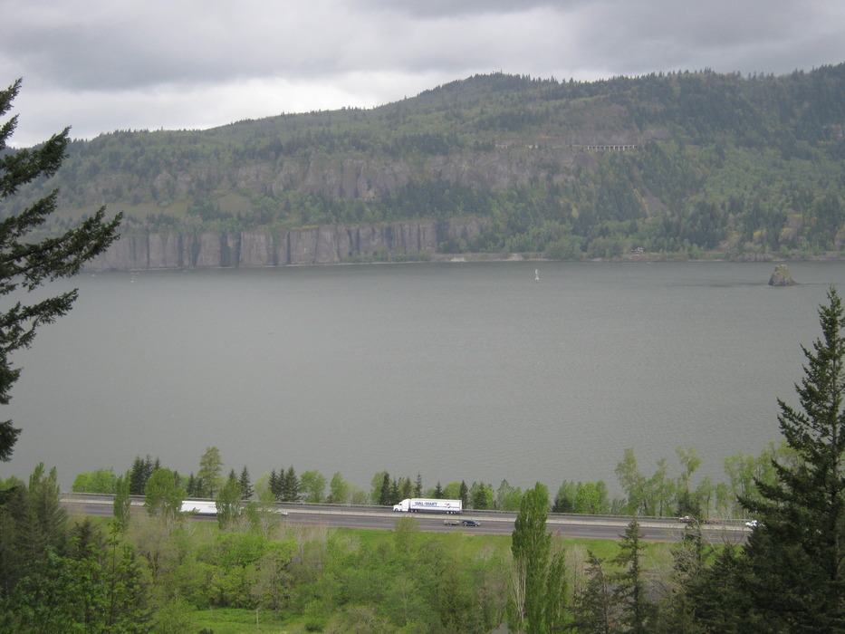
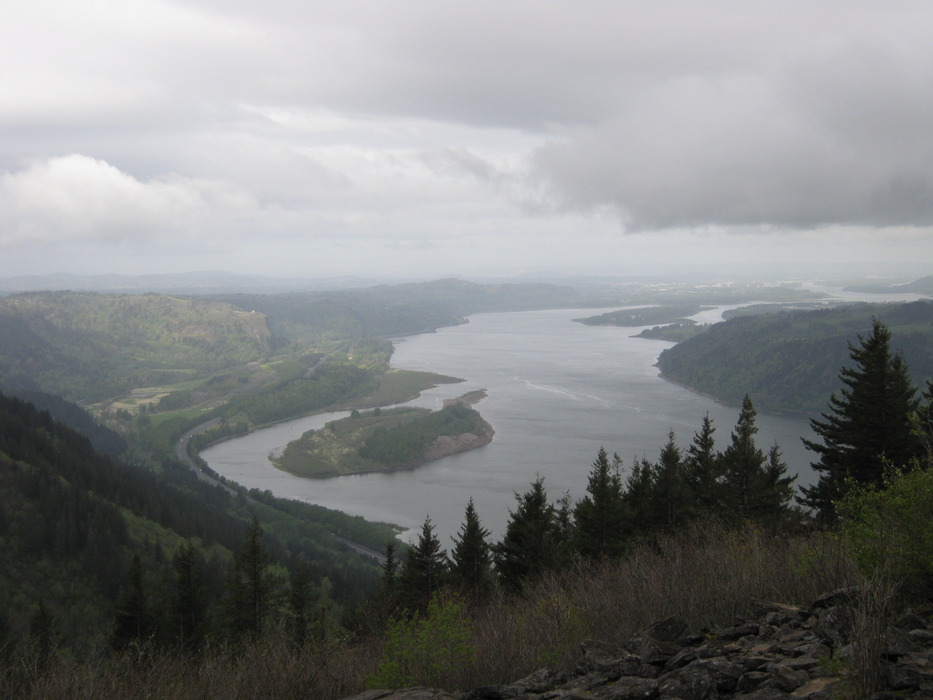
Gorge view. About half-way up you will be able to see your
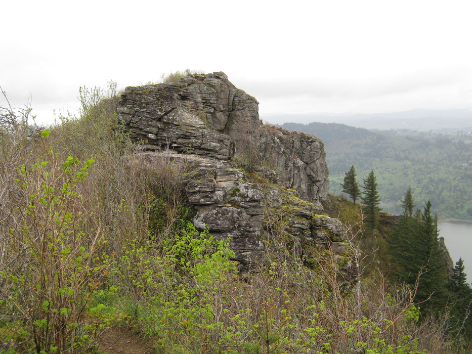
destination, an outcropping of rocks. There are several
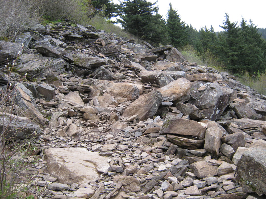
rocky steps along the way. The trail is exposed because of a
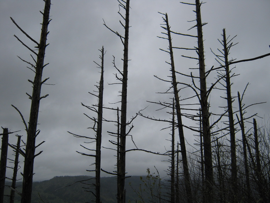
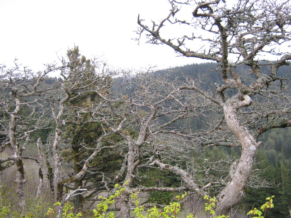
forest fire, and can get quite windy. This results in some interesting looking
trees. There are other rocks that get quite green and
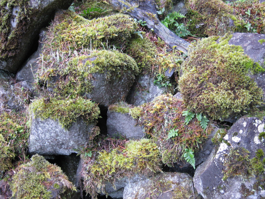
mossy. Toward the end there are several switchbacks until one final turn to the North, where the
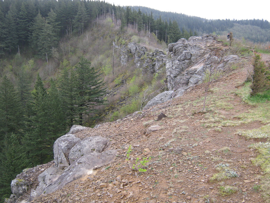
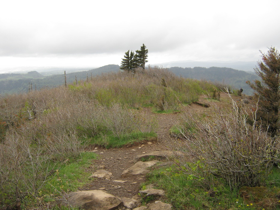
ridge comes into view. Here is what the ridge looks like from the
North end. The
views are spectacular on clear days in both East and West directions. The day I visited was very cloudy, and visibility was low. The
actual end of the trail is out on a ridge that you can access through brush, but the view is obstructed. Along the ridge there is a trail that heads Southeast that eventually goes back to Wahkeena Falls, which would make a very nice loop if you have two vehicles. Please watch for
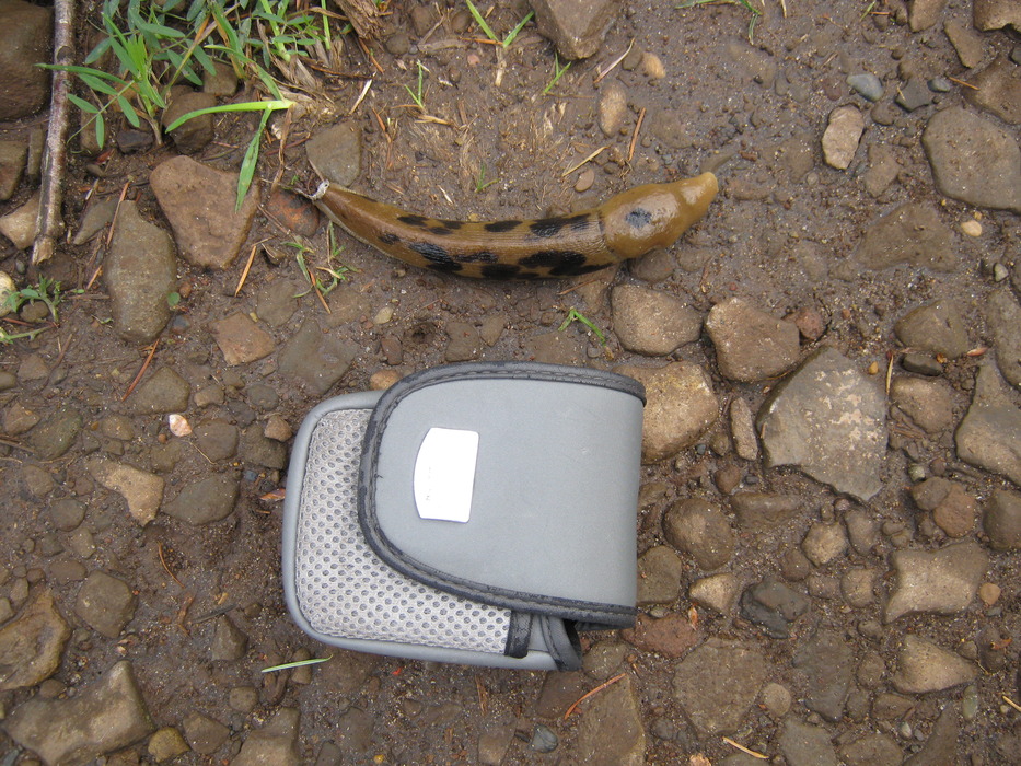
banana slugs and try not to step on them.
Note: It is very windy at the top, windy enough to blow your hat off, and there are no fences to keep back pets or children from the cliff edges.
 Route Editor


