 Route Editor

| Guide | ♦ | 66 Triplogs | 0 Topics |
details | drive | permit | forecast | route |
stats |
photos | triplogs | topics | location |
| 376 | 66 | 0 |
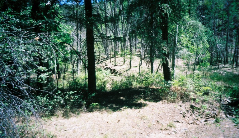
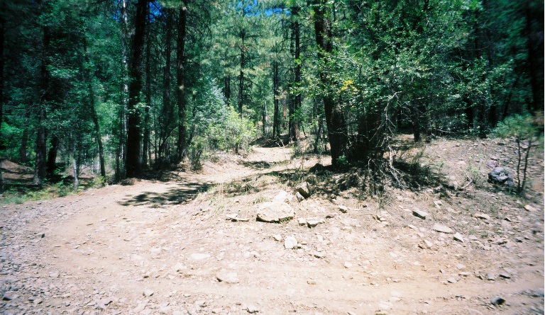
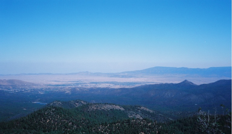
A walk in the pines by Mike   Note NoteThe Official Route and statistics on this page are for Isabella Trail #377. The description below forges on to Spruce Mountain. The pin marker on this route indicates where #377 ends and includes the full route described below. Overview Although it's upper half does duty as a segment of the famous Groom Creek Loop, the Isabella Trail (#377) is probably one of the lesser-known trails in the Bradshaw Mountains. It begins just above the upper Hassayampa River and from there climbs up to, then follows, South Spruce Ridge to its terminus at the summit of Spruce Mountain. At the summit is a lookout tower overlooking the Prescott area. The trail makes for a nice summer hike since it never leaves the pine forest, and the lowest point is the trailhead at about 6750 feet. The tower is at 7693 feet, and there's usually a nice breeze blowing there. The first mile and a half of the trail sees little use and is sometimes faint, but not difficult to follow. After the junction with South Groom Creek Loop, the path gets used more and is easier to follow.
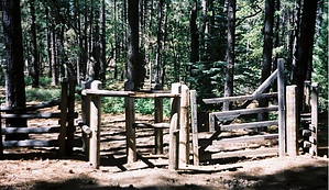
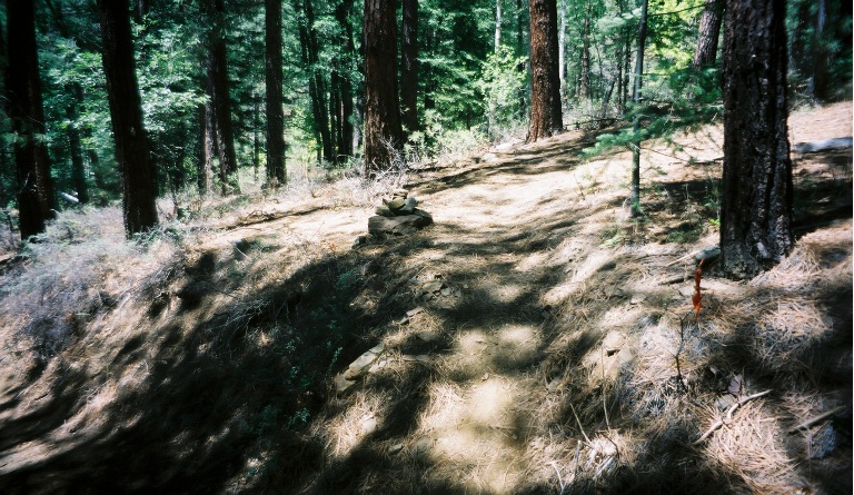
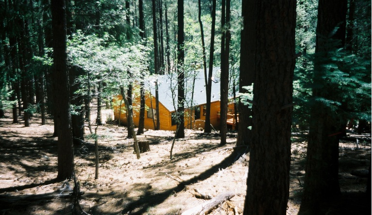
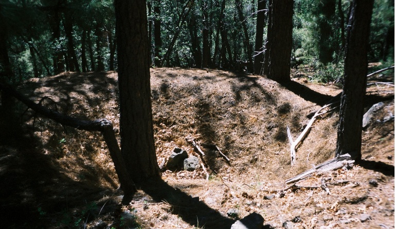
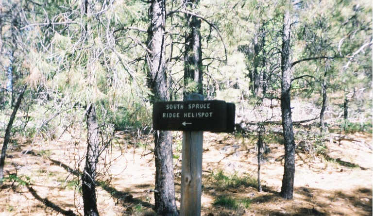
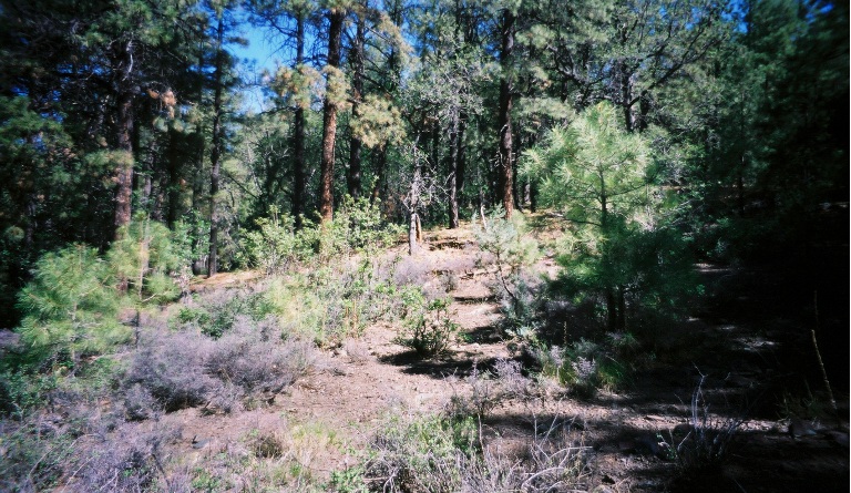
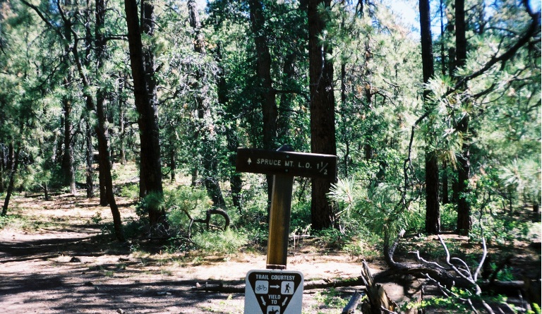
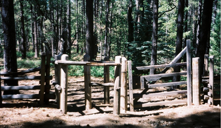
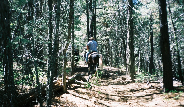
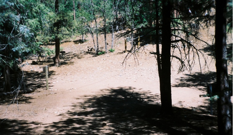
From the trailhead, follow an old jeep track for a short distance uphill. Watch for a cairn of medium sized rocks on the left. The trail takes off here and begins its moderately steep climb to South Spruce Ridge. When I last hiked this trail a few years ago, the trail began further up the road, but there are now private residences along this road. The Forest Service rerouted the first half-mile of the trail to avoid the private property. About a half-mile in, the trail drops into a drainage, crosses it, and makes a sharp turn to the left. From here on, you're back on the original route, so pay close attention to this spot so that you don't miss this turn on your way back. Keep your eye out along the next mile or so for signs of area mining history. At just over a mile, the trail begins to level out, and you'll reach the first of several junctions, this one with the South Groom Creek Loop trail. Bear right here to stay on trail 377. Just beyond the junction, you'll see a sign marking the South Spruce Ridge Helispot. The helispot is to the left (west) of the trail. A little further on, you reach a junction with a cutoff trail that heads off to the left and eventually junctions with the north Groom Creek Loop. A sign here indicates the lookout is another mile and a half further. Just past the sign, you cross through the first of two horse gates. From there, the trail is a relatively level walk along South Spruce Ridge with one short climb before you finally reach the summit of Spruce Mountain. This stretch of the trail was the busiest since it is part of the Groom Creek Loop. Before the gate, we only encountered two other hikers, but after the gate, we encountered about a dozen hikers and two groups on horseback. When you reach the summit, you'll first cross a saddle where a road comes in from your right. There are picnic tables and restrooms in this area. Across the way and uphill a short distance is the lookout tower. Take the road up to the tower and enjoy the views from the rocks below the tower. If the tower is manned, you may be allowed inside, as were we this time. From the summit you'll have a 360 degree view of Prescott & Granite Mountain, the northern Bradshaws, Prescott Valley & Lynx Lake and more. Word to the wise... watch for snakes around the rocks! The ranger in the tower told us a hiker earlier in the morning had spotted a rattler enjoying a chipmunk breakfast. He went down and found it. He said it wasn't one that he'd caught earlier this year and painted a spot on. So, he decided to put up a little sign to warn folks to be careful!! We didn't see any snakes but did see some pretty big lizards. They wouldn't hold still long enough for me to get a good photo, sorry! Once you've had enough of the views and breeze at the tower, turn around and return the way you came in. Gate Policy: If a gate is closed upon arrival, leave it closed after you go through. If it is open, leave it open. Leaving a closed gate open may put cattle in danger. Closing an open gate may cut them off from water. Please be respectful, leave gates as found. The exception is signage on the gate directing you otherwise. Check out the Official Route and Triplogs. Leave No Trace and +Add a Triplog after your hike to support this local community. One-Way Notice This hike is listed as One-Way. When hiking several trails on a single "hike", log it with a generic name that describes the hike. Then link the trails traveled, check out the example. | ||||||||||||||||||||||||||||||||||||||||||||||||||||||||||||||||||||||||||||||||||||||||||||||||||||||||||||||||||||||||||||||||||||||||||||||||||||||||||||||||||||||||||||||||||||||||||||||||||


