 Route Editor

| Guide | ♦ | 5 Triplogs | 0 Topics |
details | drive | no permit | forecast | map |
stats |
photos | triplogs | topics | location |
| 52 | 5 | 0 |
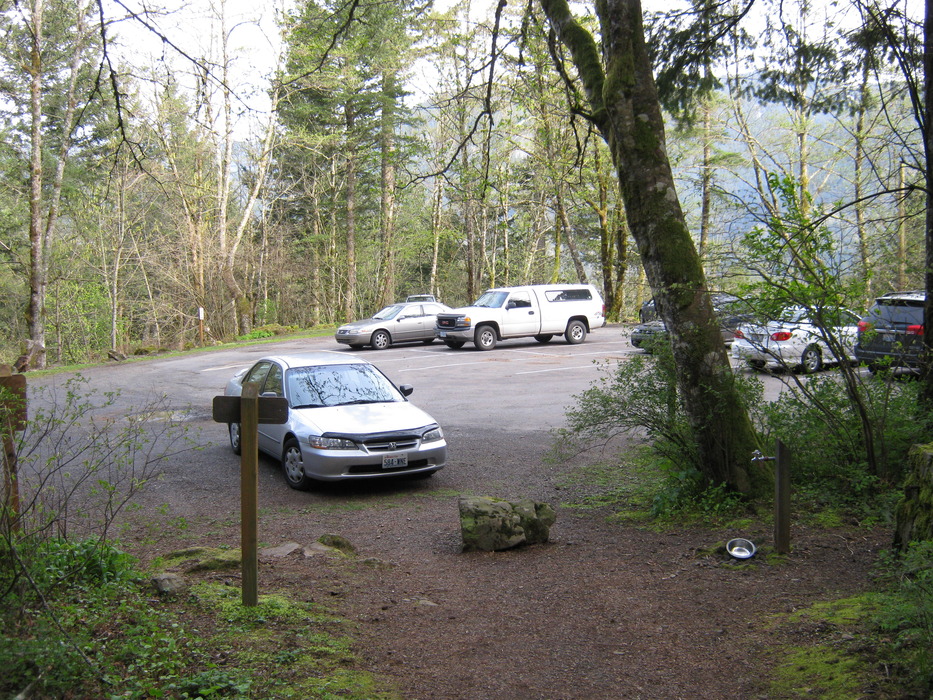
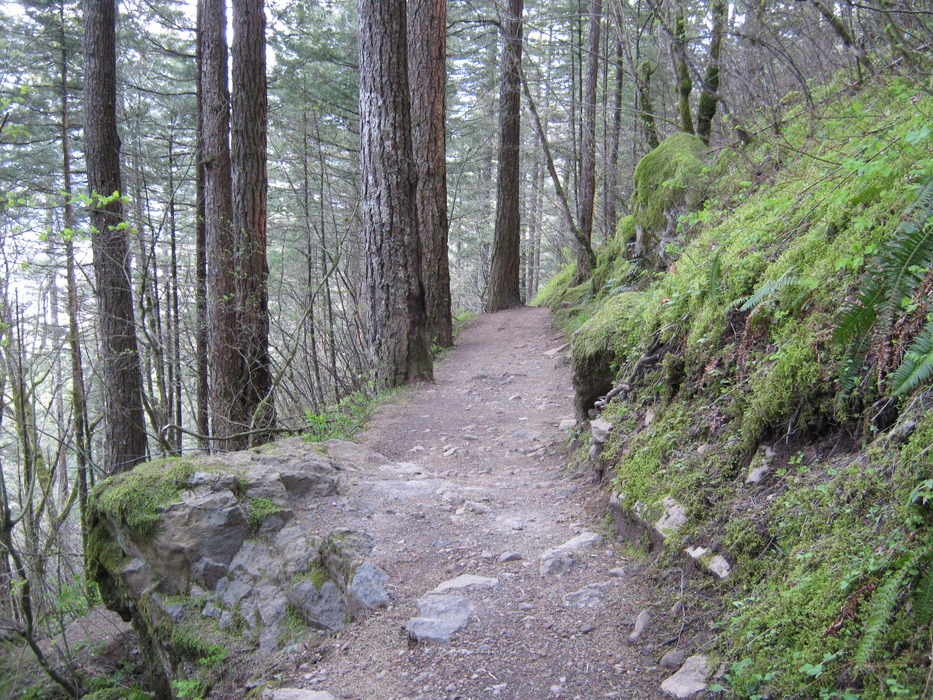
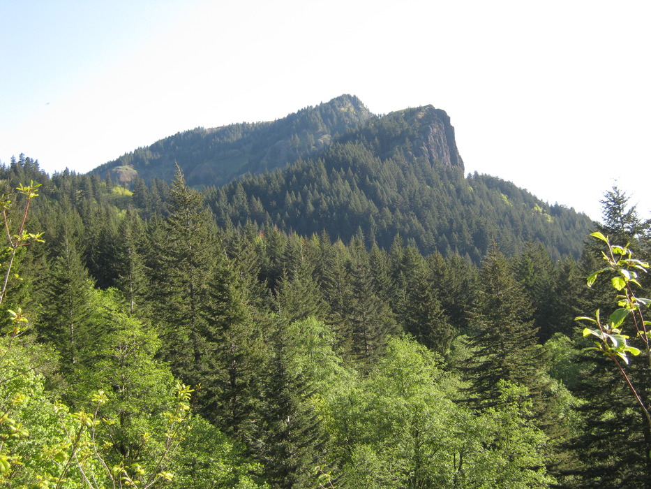
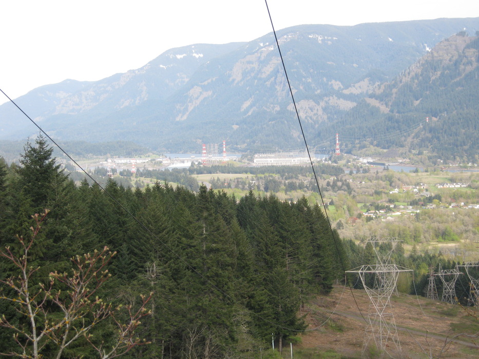
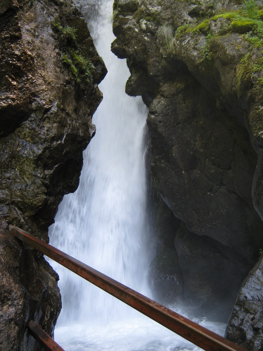
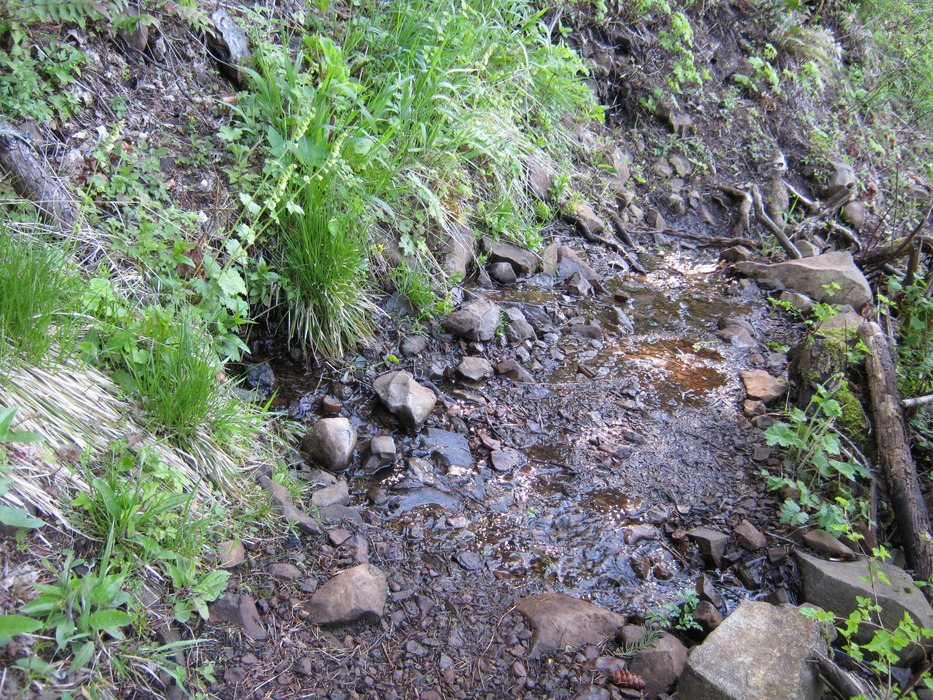
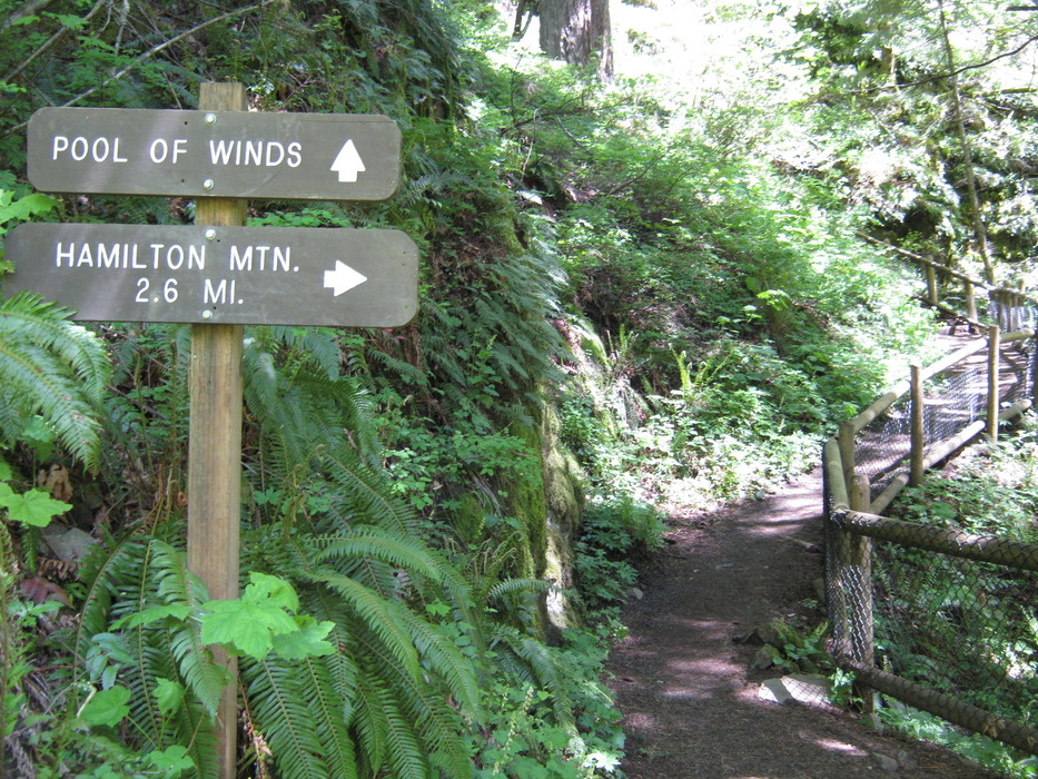
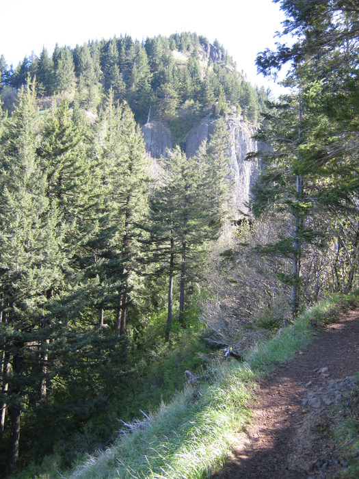
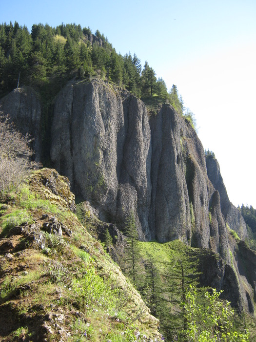
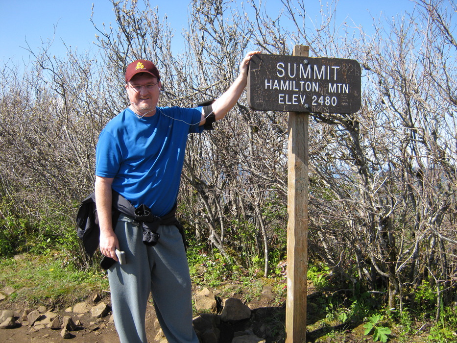
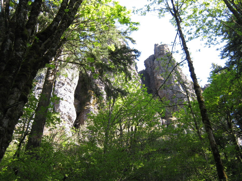
Experience a Pool of Winds by Dano The trailhead parking lot is for both hikers and park day users; head for the trailhead sign and begin the steady ascent . About 1/2 mile into the hike you pass underneath power lines, which gives you a view of Hamilton Peak above, and Bonneville Dam below. The trail continues another 3/4 mile and levels off. You should begin to hear the sound of rushing water. There are a few side trails to the right, but they don't provide good views of any wateralls. Look for the sign directing you to the "Pool of Winds". This is my favorite Washington-side Gorge waterfall, because you not only see it, but because the upper falls drop into a cavernous rock formation, you are able to feel the rushing wind as the water displaces the air. Go right up to the railing and lean over to get a full dose of the wetness hitting your face.
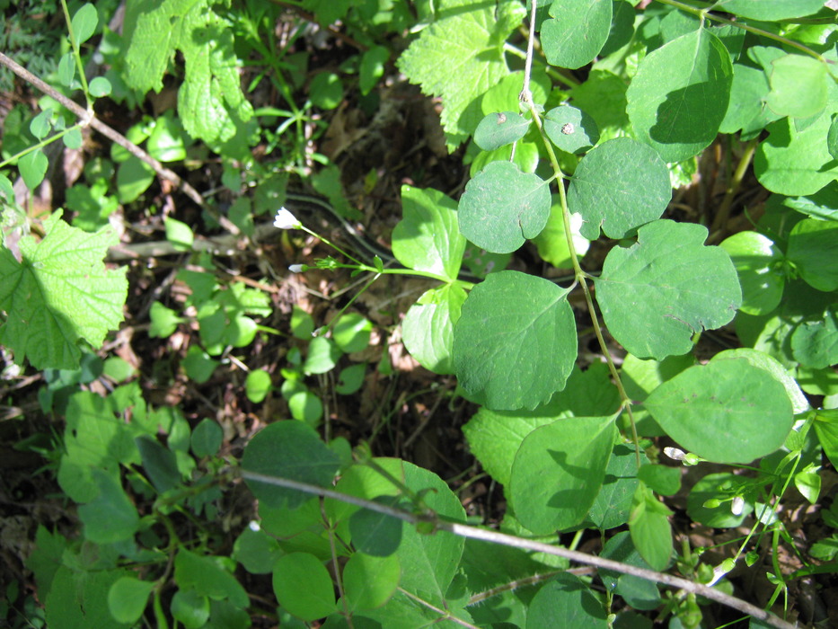
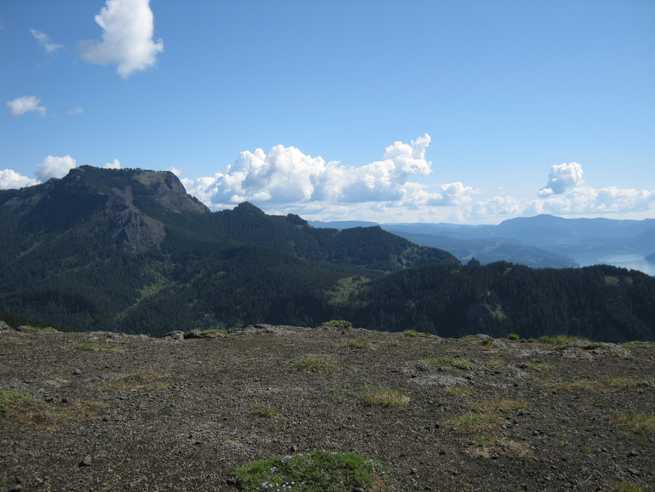
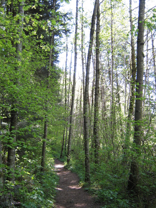
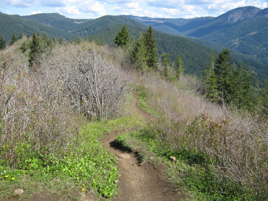
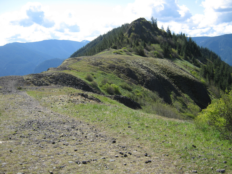
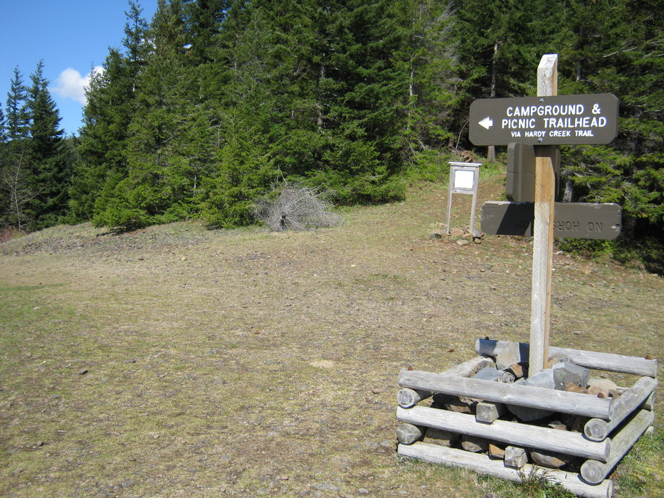
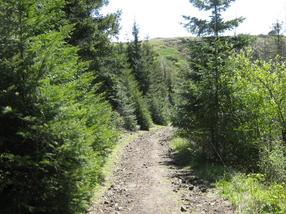
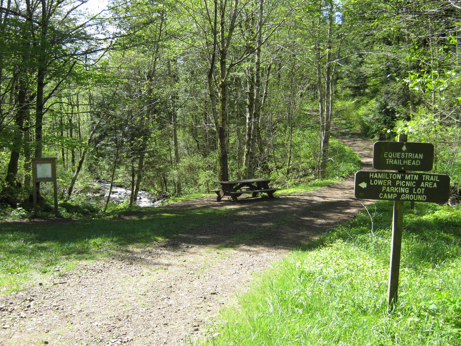
To continue the loop, head straight North, and in about 1/2 mile you reach an open ridge . This is a great stopping point to snack. At the North end of the ridge a sign points the way to the descending road. Keep to your left for a mile or so until you reach Hardy creek, where there is another sign, picnic bench and map . Turn left (South) off the road to the trail, which winds through more forest woods before returning to the "difficult/more difficult " sign. This ends the loop portion. Return past Rodney Falls and take another water shower in the Pool of Winds before returning to your car. Note: The trail near the summit has several spots with cliffs on one side, so be very careful at this point with dogs or children. Also, the road to the parking lot is closed December to March, making the total hiking distance longer by a mile or two. Check out the Triplogs. Leave No Trace and +Add a Triplog after your hike to support this local community. | |||||||||||||||||||||||||||||||||||||||||||||||||||||||||||||||||||||||||||||||||


