 Route Editor

| Guide | ♦ | 38 Triplogs | 0 Topics |
details | drive | permit | forecast | route |
stats |
photos | triplogs | topics | location |
| 215 | 38 | 0 |
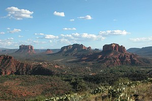
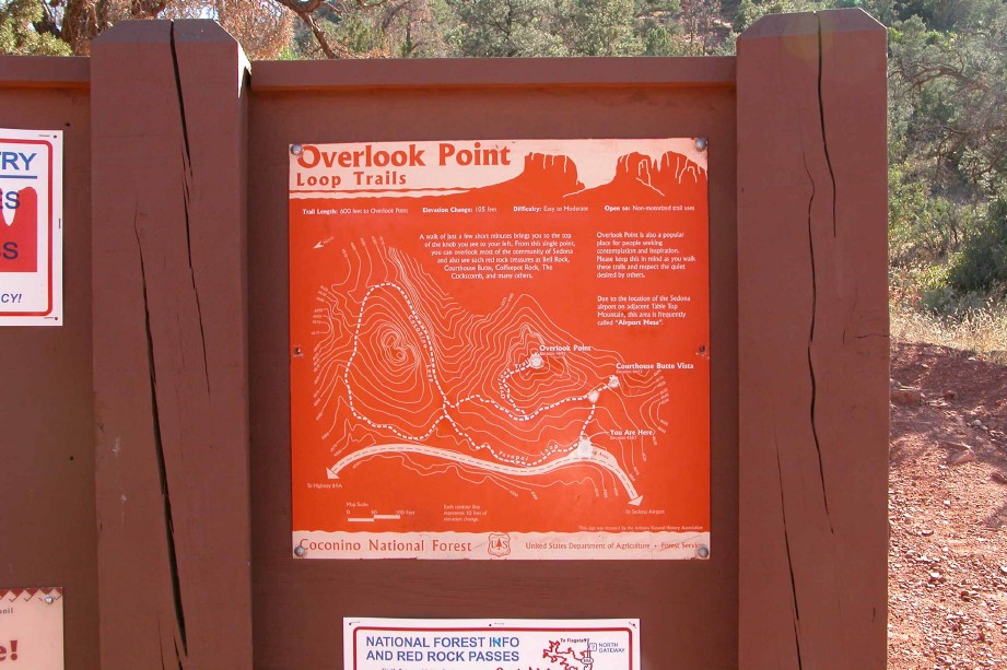
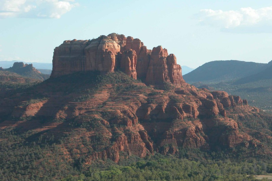
Panoramic view of Sedona by fprose  Arriving in Sedona after the lunch hour I was looking for a close in trail that I could complete before the sun set. Having heard friends speak about the Airport Loop trail I decided to give the trail a try. Arriving in Sedona after the lunch hour I was looking for a close in trail that I could complete before the sun set. Having heard friends speak about the Airport Loop trail I decided to give the trail a try.Airport Loop is not shown on all of the area maps but shares a common trailhead with what's also referred to as the Overlook Point trails... a Vortex spot in Sedona.
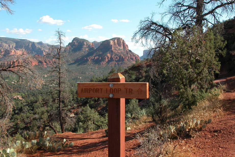
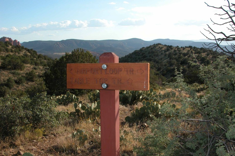
The trail follows the edge of the mesa but rises and falls with the contours. In all, the trail gains and looses 300 feet, according to my GPS. The scenery changes from red rock and pines to gray chalk and cactus as you proceed west. At the far western edge of the mesa the trail intersects with a trail called Table Top. The Table Top trail continues further southwest for 0.4 miles and provides closer view of Cathedral Rock. From this vantage point you can view (or photograph) Cathedral, Bell Rock, and Courthouse Butte. Coming back around the north side of Airport Loop you get some great views of Coffee Pot and the mountains north of Sedona. Also on the North side the trail intersects with the Carroll Canyon trail. With the 0.8-mile side trip down Table Top trail my GPS said 4.0 miles for the entire trip, putting the loop, with switchbacks, at about 3.2 miles. The trail itself provides no great challenge but affords a 360-degree view of the Sedona Area. When you're done, go on up to the airport itself. There's a great little restaurant the servers throughout the day and evening.
Check out the Official Route and Triplogs. Leave No Trace and +Add a Triplog after your hike to support this local community. | |||||||||||||||||||||||||||||||||||||||||||||||||||||||||||||||||||||||||||||||||||||||||||||||||||||||||||||||||||||||||||||||||||||||||||||||||||||||||||||||||||||||||||||||||||||||||||||


