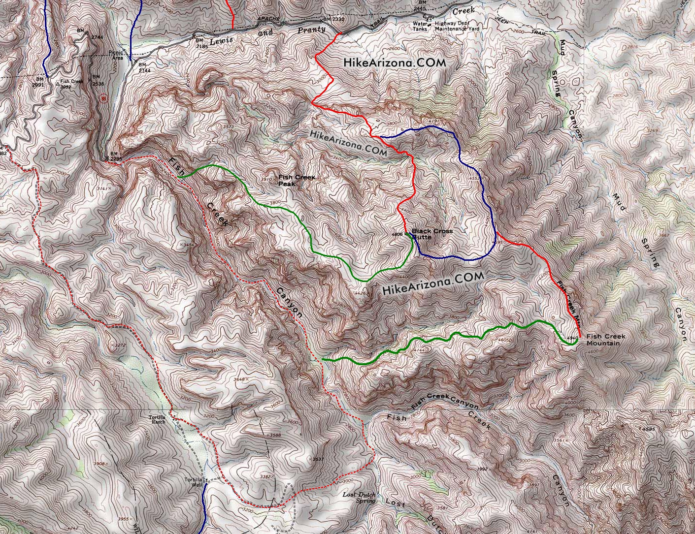
Study the map. Study the map some more. Look it over one more time. The Sierra Club lists this hike as 8-10 miles roundtrip. No clue what they're doing, but I assure you there's a shorter way. Best if you are really good with difficult terrain.
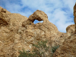
The area is precious and full of adventure. No witches or modern Apaches in tennis shoes with machetes. Just a zoo of snakes and enough tarantulas for any enthusiast!
WARNING! Hiking and outdoor related sports can be dangerous. Be responsible and prepare for the trip. Study the area you are entering and plan accordingly. Dress for the current and unexpected weather changes. Take plenty of water. Never go alone. Make an itinerary with your plan(s), route(s), destination(s) and expected return time. Give your itinerary to trusted family and/or friends.
Permit $$
None
Directions
Road
FR / Dirt Road / Gravel - Car Okay
To hike From Apache Junction take SR88 out past the Fish Creek Bridge. With the route loaded in Route Scout, it should be easy to figure out where to park.
 Route Editor


 Study the map. Study the map some more. Look it over one more time. The Sierra Club lists this hike as 8-10 miles roundtrip. No clue what they're doing, but I assure you there's a shorter way. Best if you are really good with difficult terrain.