Route Editor

| Guide | ♦ | 1 Triplog | 0 Topics |
details | drive | permit | forecast | route |
stats |
photos | triplog | topics | location |
| 9 | 1 | 0 |
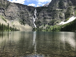
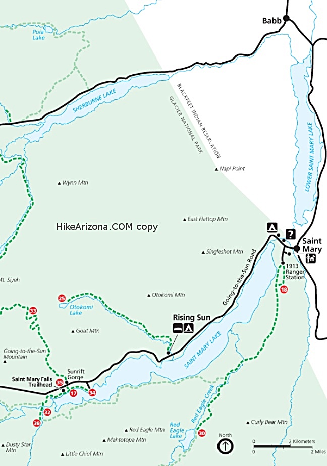
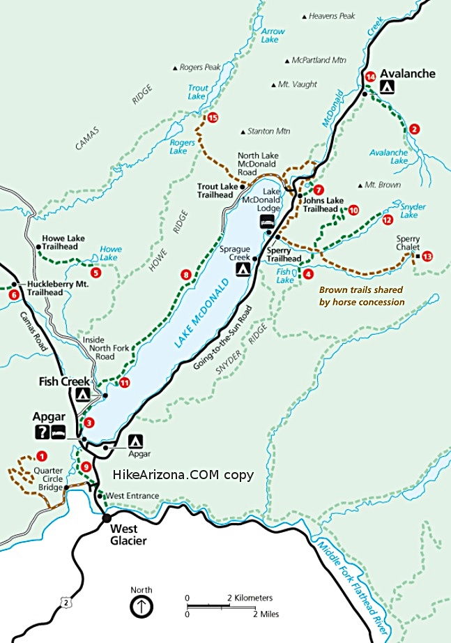
A Superb Subalpine Destination by FOTG Lincoln Lake is a lesser traveled, but superb destination in Glacier National Park. There is a backcountry campground at the lake and the subalpine gem sits at the base of the park's tallest waterfall, Beaver Chief Falls (1,344 feet). There are two ways one can reach lake, however, the Lincoln Lake Trail is the most popular/preferred route in comparison to the longer and less maintained route from the South Boundary Trail. Hike The Lincoln Lake Trail starts with a brisk climb up a well maintained trail to its high point along Snyder Ridge. One will gain about 1700 feet of elevation during this initial leg burning ascent. There are not very many views to be had along this section, however, some brief views of the snow covered ranges to the south occur on occasion through some small breaks in the forest. After the initial climb, the trail begins its short descent to Lincoln Creek. The trail from Lincoln Creek to the lake can be a little marshy and overgrown and is characterized by a continuous, but gentle uphill grade to the lake. As one nears the cirque that houses Lincoln Lake, the views open up a little more and one begins to start seeing the sheer walls that contain the lake and the Lincoln Creek drainage. The backcountry site at the lake is one of the nicer campground settings in the park and is highlighted by a well planned, cooking and hanging area that offers a jaw dropping setting to cook and eat your meals from. A backcountry permit is required for an overnight stay. Return the same way you came, or make a more ambitious loop utilizing the South Boundary Trail.
Check out the Official Route and Triplog. Leave No Trace and +Add a Triplog after your hike to support this local community. | ||||||||||||||||||||||||||||||||||||||||||||||||||||||||||||||||||||||||||||||||||