Route Editor

| Guide | ♦ | 1 Triplog | 0 Topics |
details | drive | permit | forecast | route |
stats |
photos | triplog | topics | location |
| 4 | 1 | 0 |
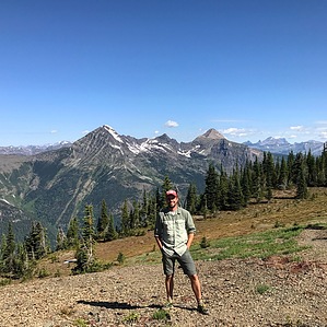
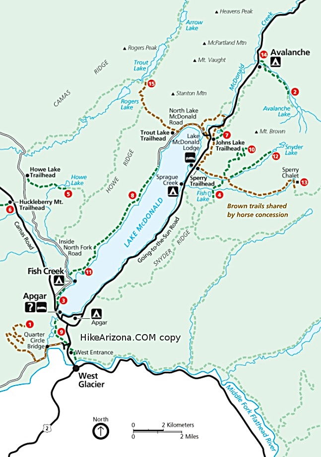
"A real climb to a fake summit." by FOTG The Mount Brown Lookout is located on a false summit along a ridgeline approximately one mile south of the actual Mount Brown summit. The trail leading to the lookout is one of the steepest in the park. However, it is in excellent shape and easy to follow with a steady, but manageable grade. The tower offers some excellent views of Lake McDonald and the surrounding west Glacier area. Hike The hike starts at the Sperry Chalet Trailhead where one begins by taking the Gunsight Pass Trail for approximately 1.5 miles to where the Mount Brown Lookout Trail intersects from the left/north. The trail immediately begins to climb at this point and does not stop until one reaches the lookout. The trail is in excellent shape and easy to follow. It switchbacks through a dense forest for the majority of its length, however, some excellent views of Lake McDonald can be had the further one gets in the climb. The final mile is mostly open and includes a long traverse after the tower first comes into sight. This section of trail offers some great views of the mountain ranges to the south of Glacier National Park and towards the Sperry Glacier area. The lookout was not being manned and locked to the public at the time of the writing of this description, however, its balcony is accessible and there is a log book provided for visitors to sign. After catching your breath and taking a minute to enjoy the surroundings, return the way you came.
Check out the Official Route and Triplog. Leave No Trace and +Add a Triplog after your hike to support this local community. | |||||||||||||||||||||||||||||||||||||||||||||||||||||||||||||||||||||||||||||||||||||||||